

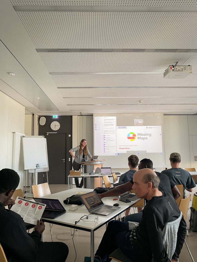
During GeoNight 2024, HeiGIT partnered with Mannheimer Mapathons to host a mapathon together. Mapathons are events where volunteers come together to map crucial features like roads, buildings or waterways on OpenStreetMap, often in response to specific needs or crises, such as post-earthquake or post-flood scenarios. We were privileged to connect with volunteers from OSM Ghana, gaining insight into their vital work within the region. During this event, geospatial enthusiasts collaborated to map over 1,000 buildings in Lebanon, striving not only to generate geoinformation but also to empower the region by enhancing visibility and resource accessibility. We have visualized our progress using the new ohsomeNow stats live mode.
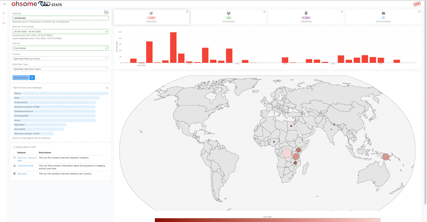
This feature allows users to track OpenStreetMap (OSM) contributions in real time, especially during mapathons. With the live mode we aim to additionally foster a good spirit amongst the mappers, as they now can continuously monitor their progress and dynamically set mapping goals. To activate the live mode, select the time range “Last 3 hours” and the interval “five minutes”. Once engaged, a “LIVE” notification will appear in the top right corner of the page.
In the accompanying video, you can see a graph depicting the number of contributors per time interval, revealing a notable surge in both edits and new buildings throughout the recording.
For a detailed explanation on how the data is analyzed and displayed please refer to our in-depth explanations in the help section of the website. Also check out the most recent blogpost about ohsomeNow stats. For any inquiries please feel free to contact ohsome@heigit.org.
To keep up with future developments and releases related to this project as well as other efforts to advance geospatial technology in the mobility, humanitarian aid, and data analytics space, follow the social media channels and stay up to date on our blog.