

Humanitarian organizations can’t help people if they can’t find them.
This was the simple reason to create MapSwipe back in 2016 and it is still as pressing as in the very beginning. In the last 2,5 years volunteers have contributed more than 18,000,000 results, which help humanitarian organizations to create maps of human settlements and plan their missions accordingly. The HeiGIT has been involved from start of the project. However, in this blog post we would like to look forward rather than lying back on the past achievements. The MapSwipe project is moving fast and here is an overview on what’s going on at the moment:
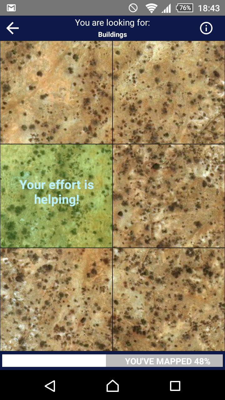
So far, MapSwipe has been used to map human settlements from satellite imagery. It was mainly about identifying places, which have not been mapped. We want to extend the scope of the app and give MapSwipe users the opportunity to contribute even further. Therefore, we are working on a new type of mapping, which allows the volunteers to classify individual building footprint geometries. Together with some wonderful volunteers and MapSwipe enthusiasts in London we are building this new project type to foster the integration of the results of machine learning based building detection. The first results of our DeepVGI project show that the combination of machine learning models and motivated volunteers opens the potential to generate better data sets in less time. Or to put it simple: With this new project type humanitarian organizations will spend even less time on the creation of base data sets and can spend more time helping people instead.
 |
 |
| a) Map Interface for a Build Area Project | b) Prototype of a Map Interface for the new Footprint Project |
The basis of all these changes is a comprehensive restructuring of the back end part of the app. We’ve been working on the back end in the last couple of months and you can follow the changes at GitHub (all open source). These changes will make it easy to integrate further project types. Together with our partners from humanitarian organizations we’re constantly identifying needs and will develop proper solutions. Which buildings have been affected by an earthquake? How has the political crisis in South Sudan affected land cover and agricultural activity? How does climate change affect permafrost land surface structures in the Arctic? These are just some questions. What are yours?