

A series of video tutorials of GigaMesh has recently become available on YouTube. GigaMesh is a software framework for displaying, processing and visualizing large meshes of 3D spatial data representing 2D surfaces.
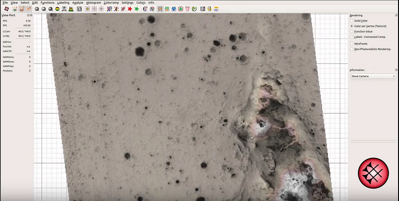
The most recent tutorial by Paul Bayer and Hubert Mara presents a rapid method of hillshading for a geospatial dataset. The video shows the powerful 3D spatial visualization methods implemented in the software in a geographic context using HiRISE terrain data from Mars.
Check out the video here: https://youtu.be/GwhC7mGWY-A
Want to try it yourself? Download pre-built Linux binaries and packages of GigaMesh together with example data.
Follow latest news and updates on ResearchGate.
GigaMesh is developed within the Forensic Computational Geometry Laboratory (FCGL) of Dr. Hubert Mara at the Interdisciplinary Center for Scientific Computing (IWR) at Heidelberg University.