

Street names provide important insights into the local culture, history, and politics of places. Linked open data provide a wealth of knowledge that can be associated with street names, enabling novel ways to explore cultural geographies. A recent paper presents a three-fold contribution. We present
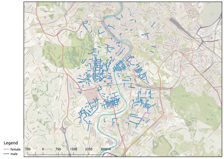
(1) a technique to establish a correspondence between street names and the entities that they refer to. The method is based on Wikidata, a knowledge base derived from Wikipedia. The accuracy of this mapping is evaluated on a sample of streets in Rome. As this approach reaches limited coverage, we propose to tap local knowledge with
(2) a simple web platform. Users can select the best correspondence from the calculated ones or add another entity not discovered by the automated process. As a result, we design
(3) an enriched OpenStreetMap web map where each street name can be explored in terms of the properties of its associated entity. Through several filters, this tool is a first step towards the interactive exploration of toponymy, showing how open data can reveal facets of the cultural texture that pervades places.
This approach will enrich the semantics of OpenStreetMap and Wikipedia,
creating a new, machine-readable information layer that connects toponyms with
known entities. This knowledge can be returned to the community to be freely
used for general exploration, tourism, and research.
Almeida, P.D., Rocha, J.G., Ballatore, A., Zipf, A. (2016): Where the Streets Have Known Names. Computational Science and Its Applications – ICCSA 2016. Proceedings of the 16th International Conference, Beijing, China Lecture Notes in Computer Science, Vol. 9789, Part IV, pp 1-12. (pdf) DOI:10.1007/978-3-319-42089-9_1