please vote for the project of collaboratively visualizing the hidden bicycle in the city plan of Mannheim in order to celebrate the invention of the bicycle 200 years ago in Mannheim.
(Deadline June 10th)
Wer hat’s erfunden? Monnem!
GeoNet.MRN e.V. möchte das im Stadtplan verborgene Radmuster sichtbar machen.
Nächstes Jahr feiert die Stadt Mannheim das große Radjubiläum! 200 Jahre Fahrrad und wir feiern mit!
Unsere Idee:
Im Mannheimer Stadtplan liegt tatsächlich ein Radmuster verborgen! GeoNet.MRN e.V. möchte mit Euch zusammen das im Stadtplan verborgene Radmuster sichtbar machen. Wer uns hilft, das Radmuster sichtbar zu machen, sammelt Punkte und gewinnt!
Vorher brauchen wir aber maximal viele Stimmen im Online-Voting auf Monnem-Bike.de.
Stimmt für uns, teilt den Post und helft uns, dass wir die RadKultour(MA²) als eines von 10 geförderten Projekten umsetzen können.
DEADLINE:
Die Stimme muss bis spätestens 10. Juli 2016 abgegeben sein.
Das Event findet dann nächstes Jahr am 11.06.17 statt.
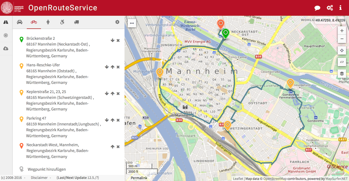
Use OpenRouteService.org for bicycle routing and mobile navigation.
OpenRouteService offers different bicycle profiles and options, such as Tour, Road Bike, MTB, Safest, Recommended, Shortest, Fastest etc. based on the data of OpenStreetMap. You can also avoid a range of several road types and barriers or define you traffic speed. Recently it was enhanced by interactively providing gradient information about ascents and descents, street types and surface types etc. All this can now also be used on your smartphone due to the new responsive web-design.
Happy Cycling!