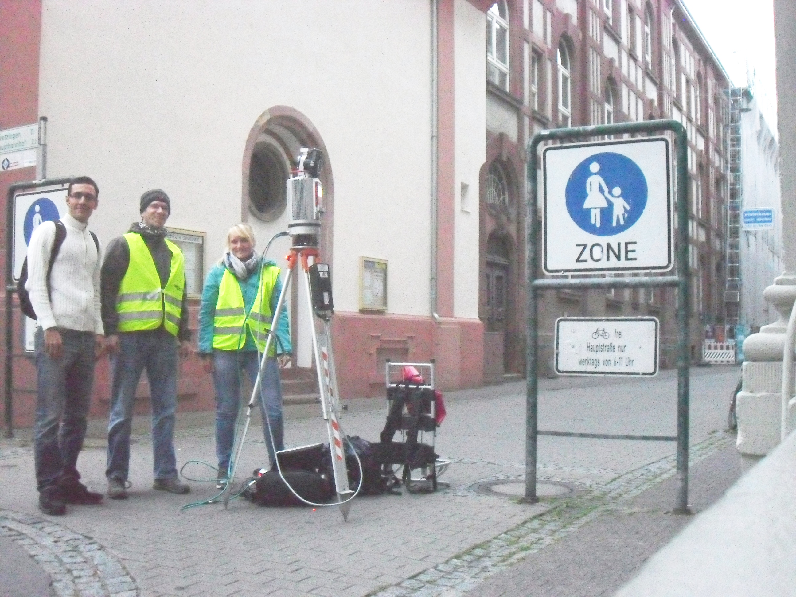
On 11th of September, the second experiment for the CAP4Access project for Heidelberg pilot city was performed by Smart Simulation group (led by Mohamed Bakillah) with collaboration of LIDAR research group of Heidelberg University. Bernhard Höfle, Amin Mobasheri and Evelyn Schmitz participated in this fieldwork, using RIEGL VZ-400 laser scanning device in order to collect 3D point clouds in the Heidelberg Altstadt area.
The places for data collection were selected based on the data and attribute requirements such as sidewalk geometries, vertical and horizontal slope, and height of sidewalks as well as surface texture type. The results of this experiment would be later used as a reference data with high accuracy for evaluating the quality of sidewalk information derived from GPS traces (for more information read the first experiment).
The experiment started at 06:00 a.m. and lasted for 5 hours. Almost 1 billion single highly precise 3D measurements were collected. Some minutes of raining caused difficulties, but the participants were quite happy with the efficiency of their work to cover the planned area plus some additional places, and enjoyed having fun with drinking warm coffee in the beautiful old-town of Heidelberg.


