Tag: UAV-borne photogrammetry
-

3D Sensor Practical
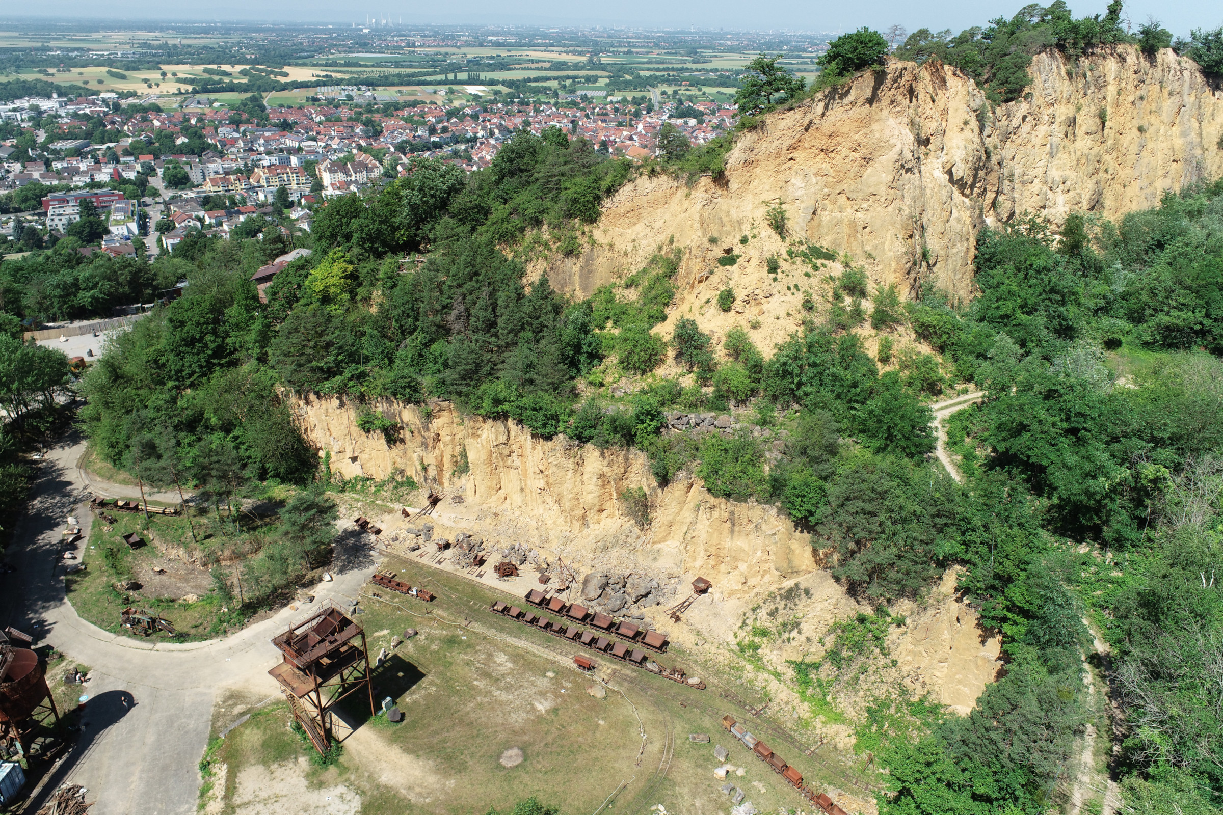
In June 2025, Ronald Tabernig and Hannah Weiser, researchers in the 3DGeo Research Group (Prof. Bernhard Höfle), held the annual 3D sensor practical, a two-day practical field course which took place in two exciting study sites close to Heidelberg: Our students learnt: Since we surveyed the same study sites last year, students will be able…
-
Continued multisource 3D point cloud acquisition at the AHK rock glacier
While the impacts of global warming and current heat waves on glaciated areas have been in the focus of media reporting in recent weeks, also the dynamics of rock glaciers as part of the periglacial environment are strongly affected by changing climate. Rock glaciers are creep phenomena of mountain permafrost and an integral part of…
-
Uncovering the dynamics of the inland dunes in Sandhausen using UAV-borne 3D data acquisition
For the first time, the inland dunes in Sandhausen (Baden-Württemberg, Germany) have been captured by UAV-borne photogrammetry and laser scanning. The dunes are a precious habitat for many specialized plants and animals. They formed during the last ice age by sand drift from the Rhine valley. The large inland dunes, originally stretching from Karlsruhe to…
-
Multi-source 3D point cloud acquisition at the AHK rock glacier
Within the AHK-4D project, we continually monitor topographic change at the alpine rock glacier Äußeres Hochebenkar in Austria. Based on multitemporal and multi-source 3D point clouds at up to two-week acquisition intervals, we are developing methods to quantify the magnitudes and frequencies of individual processes of topographic change over varying timescales. This year, we have…


