Tag: R
-

Use Case: ORS for Modeling Health and Well-Being
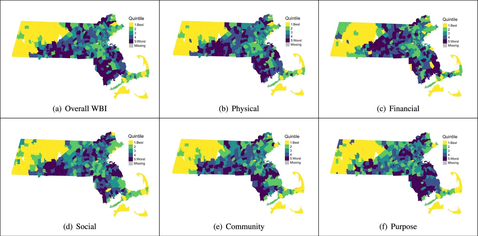
Open-source tools that incorporate open geospatial data, such as openrouteservice (ORS), prove to be beneficial for both academic research and practical applications. These tools enable researchers to pursue innovative approaches aimed at addressing complex societal challenges and beyond. A great illustration of this is presented in the journal paper titled “Modeling health and well-being measures…
-
Becoming ohsome in R – analysis of the completeness of the road network and health sites in Jakarta
Data quality is an important issue then performing analysis based on OpenStreetMap data. We have recently demonstrated how the effects of the 2013 flood in Jakarta on the accessibility of hospitals and clinics could be analyzed based on network analysis indicators and the isochrones functionality of the openrouteservice. As part of that analysis we analyzed…
-
R package for Openrouteservice released!
Great news for all enthusiasts of R stats – the popular open source stats system: the HeiGIT ORS team has developed a package to facilitate querying the openrouteservice API from R. It allows you to painlessly consume the following services: directions (routing) geocode isochrones (accessibilty) time-distace matrix pois (points of interest) You do not have to fiddle with processing…


