Tag: Publications
-

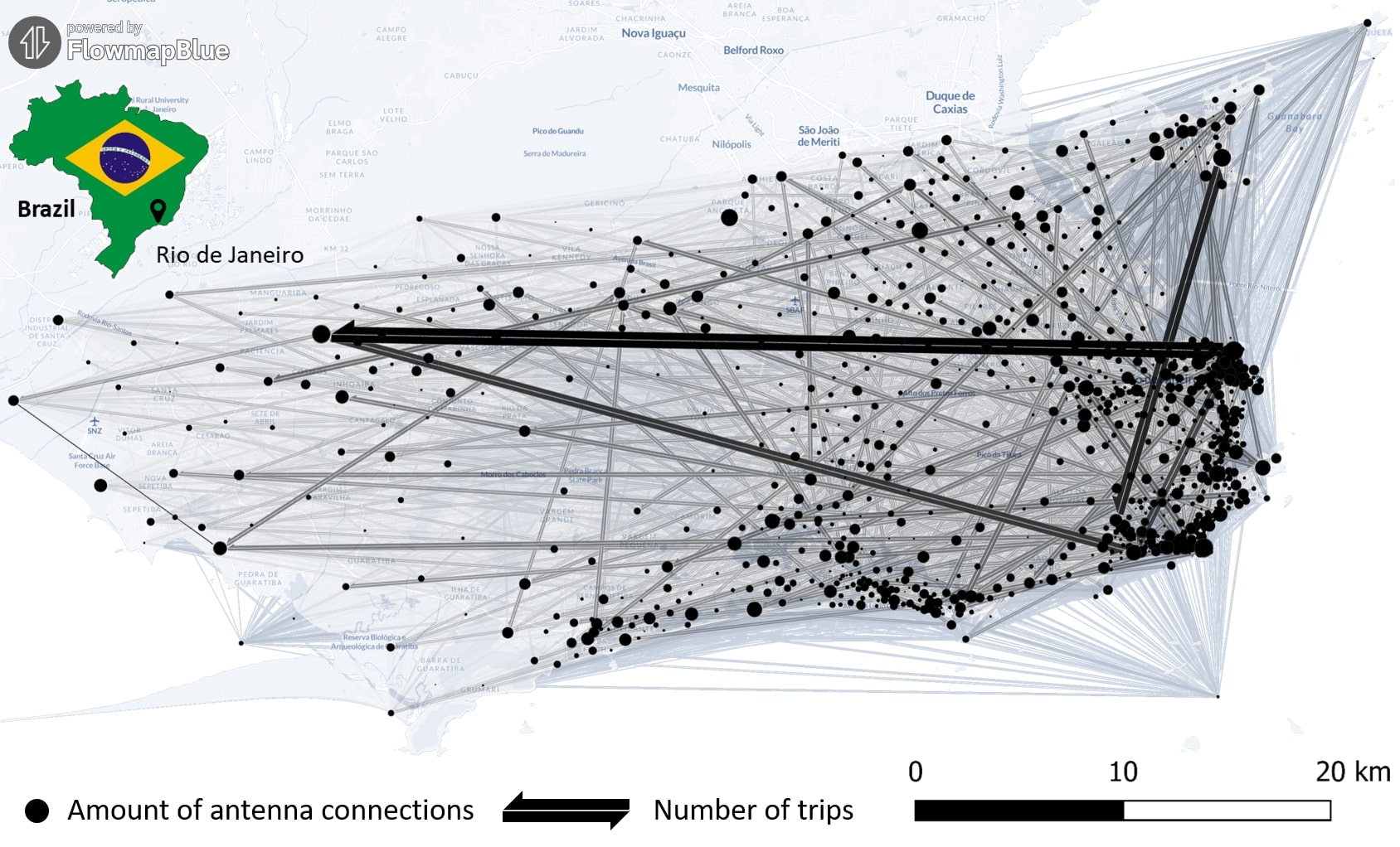
New Paper “Long-term validation of inner-urban mobility metrics derived from Twitter/X”
Data on mobility behavior can yield valuable insights that are beneficial for various applications such as public policy, emergency response, and urban planning. As the availability of freely-accessible mobility data is limited, the attention to X (formerly known as Twitter) as a data source has increased. Users of the platform can tag their online posts…
-
Automatic mapping of national surface water with OpenStreetMap and Sentinel-2 MSI data using deep learning
Large-scale mapping activities can benefit from the vastly increasing availability of earth observation (EO) data, especially when combined with volunteered geographical information (VGI) using machine learning (ML). High-resolution maps of inland surface water bodies are important for water supply and natural disaster mitigation as well as for monitoring, managing, and preserving landscapes and ecosystems. In…
-
Mapping physical access to health care for older adults in sub-Saharan Africa and implications for the COVID-19 response: a cross-sectional analysis
New paper published on healthcare access in Sub-Saharan Africa It is almost a year since SARS-CoV-2 first emerged in China. The virus spread all over the world. Countries south of the Sahara did not receive much attention. Although outbreaks here have a strong risk potential due to existing crises. In our new published paper we…
-
GIScience for physical activity research
GIScience methods are becoming more and more widespread in different domains. A current review article under involvement of HeiGIT researchers discusses the potential of ambulatory assessments and GIScience approaches for physical activity research. The article is on of the outcomes of the 2nd International CAPA Workshop 2019 “Physical Activity Assessment – State of the Science,…
-
Capturing Flood Risk Perception via Sketch Maps
The flood risk perception of people living in areas at risk can be a valuable source of information for mitigation and preparedness within disaster management. We apply a method based on sketch maps and questionnaires to capture this flood risk perception during case studies in Santiago de Chile. Results of our study can be found…
-
Twitter location (sometimes) matters
In contrast to photo-based VGI (e.g. Flickr) the correlation between the place where an information has been created and what the information is about is less intuitive for text-based VGI. In order to gain more insight into the relationship between text information generated in mobile contexts (e.g. via smartphones) and their recorded location, research has…
-
CALL FOR PAPERS: Special Issue “20 Years of OGC: Open Geo-Data, Software, and Standards”
Dear Colleagues, The year 2014 marks the 20th anniversary of the creation of the Open Geospatial Consortium (OGC). After two decades, OGC standards have become a key enabler of geospatial interoperability, delivering significant societal, economic and scientific benefits by integrating digital location resources into commercial and institutional processes worldwide. Emerging technologies such as cloud computing,…


