Tag: GIS
-

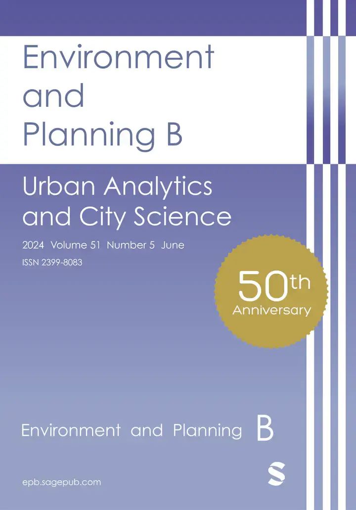
Call for Papers: Special Issue on Urban AI in Environment and Planning B
Together with collaborators from Urban Analytics Lab Singapore and CICI Lab, we are organising a special issue in Environment and Planning B: Urban Analytics and City Science, on the topic of Urban AI for a Sustainable Built Environment. Here is the summary of the call for papers: “Recently, Urban AI has become an emerging field…
-

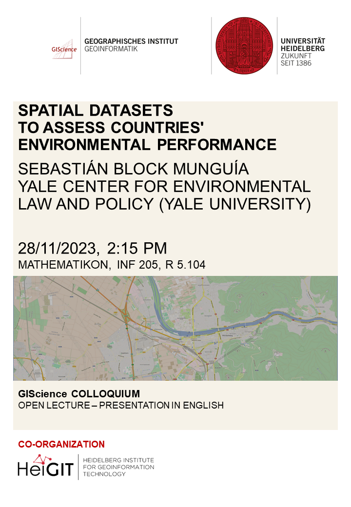
GIS Colloquium with Sebastián Block Munguía
Dear colleagues and students, We would like to invite you to our upcoming GIS colloquium. We are very pleased to host guest speaker Sebastián Block Munguía from the Yale Center for Environmental Law and Policy (Yale University), who will give a talk on “Spatial datasets to assess countries’ environmental performance”. He will tell a short…
-
2nd CALL FOR PAPERS – GIS Track at 18th International Conference on Information Systems for Crisis Response and Management (ISCRAM 2021)
2nd CALL FOR PAPERS – 18th International Conference on Information Systems for Crisis Response and Management (ISCRAM 2021) May 23-26, 2021, Virginia, USA – https://www.drrm.fralinlifesci.vt.edu/iscram2021/ Virginia Tech Track: Geospatial Technologies and Geographic Information Science for Crisis Management (GIS) https://www.drrm.fralinlifesci.vt.edu/iscram2021/files/CFP/ISCRAM2021-Track10-Geospatial_Technologies Deadline for paper submissions: December 6, 2020 * Track Description With crisis and hazardous events being an…
-
Reminder: Deadline next week Fri 06.12.2019: GIS Track ISCRAM 2020 at Virginia Tech
: CALL FOR PAPERS for the GIS track at 17th International Conference on Information Systems for Crisis Response and Management (ISCRAM 2020) May 24-27, 2020, Virginia, USA https://www.drrm.fralin.vt.edu/iscram2020/ Track: Geospatial Technologies and Geographic Information Science for Crisis Management (GIS) https://www.drrm.fralin.vt.edu/iscram2020/files/CFP/ISCRAM2020-Geospatial_Technologies_and_GIS.pdf Deadline for paper submissions: December 6, 2019 Track Description With disasters and disaster management being…
-
CFP: GIS track ISCRAM 2020, 17th International Conference on Information Systems for Crisis Response and Management, Virginia, USA
CALL FOR PAPERS for the GIS track at: 17th International Conference on Information Systems for Crisis Response and Management (ISCRAM 2020) May 24-27, 2020, Virginia, USA https://www.drrm.fralin.vt.edu/iscram2020/ Track: Geospatial Technologies and Geographic Information Science for Crisis Management (GIS) https://www.drrm.fralin.vt.edu/iscram2020/files/CFP/ISCRAM2020-Geospatial_Technologies_and_GIS.pdf Deadline for paper submissions: December 6, 2019 Track Description With disasters and disaster management being an…
-
2nd CALL FOR PAPERS: GIS track of ISCRAM 2019, 16th. International Conference on Information Systems for Crisis Response and Management, Valencia Spain
ISCRAM is a forum where researchers and practitioners from all around the world meet every year to share experiences and raise challenges in all the aspects related to the design, development, and use of information systems to improve the management of crisis and disaster situations. The 16th International Conference on Information Systems for Crisis Response and…
-
GIScience at Fachaustausch Geoinformation 2016
On November 24th, “Fachaustausch Geoinformation“, a networking event for professionals in the geodata and geoinformation domain, took place in Heidelberg. It is organised every year by GeoNet.MRN, bringing together people, companies and institutions from the Rhein-Neckar region and beyond who are active in GIS, geoinformatics and GIScience. As in previous yeas, the GIScience research group…
-
Vortrag zur amtlichen Geodatenerfassung der Stadt Heidelberg
Im Rahmen der Vorlesung “Geodatenerfassung” wird am Montag, 25. Juli 2016, 9:15h, Hörsaal Berliner Str. 48, Herr Hubert Zimmerer zur Amtlichen Geodatenerfassung in Heidelberg referieren. Herr Zimmerer ist Abteilungsleiter des Geographisch Technisches Informationssystems (GTIS) am Vermessungsamt der Stadt Heidelberg. Herr Zimmerer bringt eindrückliche Beispiele aus Heidelberg mit und wird einen direkten Praxisbezug der gelernten Theorie…
-
Specialization in Geoinformatics in Master of Geography Degree at Heidelberg University
Since this winter semester it is now possible to formally specialize in “Geoinformatics” within the Master of Science “Geography” Degree at Heidelberg University, Institute of Geography. When a certain amount of courses and credit points in this Masters programme are taken from courses related to Geoinformatics, then the student can have this specialization subject be…
-
Save the date: Regional GIS Conference in Heidelberg 25. November 2015
Once again the “Fachaustausch Geoinformation” will be organized by the Geo-Network of the Metropolitain Region Rhine-Neckar GeoNet.MRN” in Heidelberg on 11/25/2015. The event serves the networking and exchange of experience between interested parties, experts, users and decision-makers from business, science, politics and government on applications and current issues of regional data and geographic information systems.…
-
Geographic information analysis and web-based geoportals to explore malnutrition in Sub-Saharan Africa
In our new paper we present a systematic literature review on geographic information analysis and web-based geoportals to explore malnutrition in Sub-Saharan Africa. 563 articles are identified from the searches, from which a total of nine articles and eight geoportals meet inclusion criteria. The review suggests that the spatial dimension of malnutrition is analyzed most…
-
Methods to measure potential spatial access to delivery care in low- and middle-income countries
A case study in rural Ghana Access to skilled attendance at childbirth is crucial to reduce maternal and newborn mortality. Several different measures of geographic access are used concurrently in public health research, with the assumption that sophisticated methods are generally better. Most of the evidence for this assumption comes from methodological comparisons in high-income…


