Tag: crowd sourcing
-

Digitizing Maps with SketchMapTool v2.1: Enhanced Sketch Detection and Global Impact
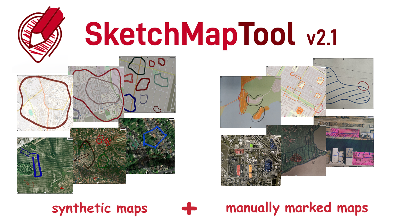
The newly released Sketch Map Tool v2.1 features a higher accuracy in digitizing hand-sketched markings on Sketch Maps, thanks to a larger training dataset and an updated machine learning model for sketch detection. New user metrics show that thousands of Sketch Maps are created every month all over the world. The Sketch Map Tool The…
-
LOKI – Video on UAV-based damage assessment combining automated methods with Micro-Mapping
Interested in how earthquake-induced damage to critical infrastructures is assessed in the research project LOKI? Then check out this teaser below! Link to video In the LOKI project (Luftgestützte Observation Kritischer Infrastrukturen; Airborne Assessment of Critical Infrastructures), an interdisciplinary system that enables fast and reliable airborne situation assessments following an earthquake is being developed by…
-
Successfull PhD Defence by Clemens Jacobs on Plausibility Estimation of Citizen Science Observations for Biodiversity
Last week Dr. Clemens Jacobs successfully defended his PhD about methods for assessing the data quality of citizen science observations of organisms. Congratulations, well done!!! We wish all the very best for the future! The research aimed at using geographic context as an information source for estimating the plausibility of an observation, e.g., of a bird,…
-
Put the world’s most vulnerable people on the map with MapSwipe
Humanitarian organizations can’t help people if they can’t find them. This was the simple reason to create MapSwipe back in 2016 and it is still as pressing as in the very beginning. In the last 2,5 years volunteers have contributed more than 18,000,000 results, which help humanitarian organizations to create maps of human settlements and…
-
Micro-Mapping für KI: Exponat auf der MS Wissenschaft
Auch dieses Jahr geht das Ausstellungsschiff MS Wissenschaft auf Tour. Im Fokus steht das Thema Künstliche Intelligenz (KI). Mit an Bord das Exponat „Micro-Mapping“, das wir am HeiGIT in Kooperation mit dem Alfred-Wegener-Institut erstellen. Unser Exponat stellt die Bedeutung des Menschen, besser gesagt: einer Menschenmenge („Crowd“), bei der Entwicklung von KI in den Vordergrund. Es…
-
First State of the Map Tanzania was successful
The first State of Map Conference in Tanzania was organised by the tanzanian OSM community and the Ramani Huria Team based in Dar es Salaam from 8-10th December. The GIScience Research Group contributed to the program by introducing MapSwipe and organizing an workshop on OpenStreetMap and the use of QGIS. (Photo: @InnocentMaholi) The conference brought…
-
Happy Birthday MapSwipe!
Already one year ago that MapSwipe was officially launched! A big thank you to our contributors for your support – one year of tapping, swiping and putting families on the map! In just one year thousands of users contributed more than 10 million taps and thereby provided crucial information on unmapped places. In projects like…
-
HeKKsaGOn – GIScience takes part in the 5th Japanese-German University Presidents’ Conference
Melanie Eckle and Benjamin Herfort represented the GIScience Research Group at the 5th Japanese-German University Presidents’ Conference that was held on 29th and 30th of September in Karlsruhe. The German-Japanese University Consortium HeKKSaGOn was founded in July 2010 as an association of three German (Heidelberg, Karlsruhe, Göttingen) and three Japanese (Kyoto, Sendai, Osaka) universities. We…
-
CAP4Access e-Newsletter No. 2 – 2015 (Part 1, Geoinfo for Mobility Impaired
CAP4Access e-Newsletter No. 2, 2015 (Part 1) First tools released + + + “Mapping parties” raise awareness for disability issues Dear Readers, The CAP4Access project has kick-started its second year by publishing first versions of a range of tools. They are intended to raise awareness about accessibility of the built environment and for providing concrete…
-
Low-cost 3D sensing of natural objects in the Dechen Cave
In one of Germany’s most visited show caves, the Dechen Cave near Iserlohn, different objects were captured with the GIScience‘s high-end terrestrial laser scanner Riegl VZ-400 and the low-cost structured light camera Microsoft Kinect™ by Johannes Fuchs, Bernhard Höfle, Martin Hämmerle (LiDAR Research Group) and Andrea Schröder-Ritzrau (Institute of Environmental Physics). Morphometric features that are…


