Tag: 3D model
-

3D Sensor Practical
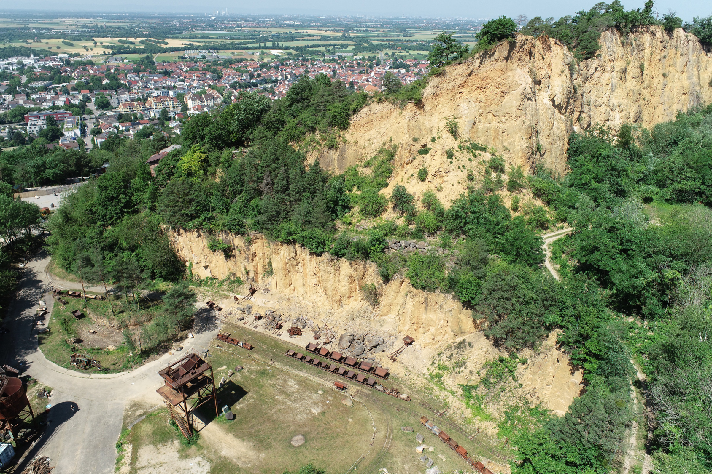
In June 2025, Ronald Tabernig and Hannah Weiser, researchers in the 3DGeo Research Group (Prof. Bernhard Höfle), held the annual 3D sensor practical, a two-day practical field course which took place in two exciting study sites close to Heidelberg: Our students learnt: Since we surveyed the same study sites last year, students will be able…
-
Open Data + Open Software – A perfect match
On 1st March 2021, the Swiss Federal Office of Topography (SwissTopo) released all official geodata according to the principles of “Open Government Data (OGD)”. With this step, Swisstopo is making large volumes of high quality geodata freely accessible. We are most excited about the 3D data, which includes digital surface models, digital terrain models and…
-
HELIOS++ 1.0.0 Software & Preprint Release
The 3DGeo Research Group is proud to announce the release of their novel ray-tracing based laser scanning simulator HELIOS++! HELIOS++ is a general-purpose simulation software for virtual laser scanning data acquisition. Such data can be used to complement real data in many use cases. Some examples include the generation of training data for machine learning,…
-
Save the date: Regional GIS Conference in Heidelberg 25. November 2015
Once again the “Fachaustausch Geoinformation” will be organized by the Geo-Network of the Metropolitain Region Rhine-Neckar GeoNet.MRN” in Heidelberg on 11/25/2015. The event serves the networking and exchange of experience between interested parties, experts, users and decision-makers from business, science, politics and government on applications and current issues of regional data and geographic information systems.…
-
UNESCO World Heritage Site Lorsch Abbey – Ladenburg Discourses of Daimler and Benz Foundation
Bernhard represented the GIScience discipline in the Ladenburg Discourse of the Daimler and Benz Foundation on the “Digital Model” of the UNESCO World Heritage Site Lorsch Abbey, which took place 13-14 March 2015 in Ladenburg. The Ladenburg discourse was organized by Susanne Krömker from the IWR of the Heidelberg University. The main aim of the…


