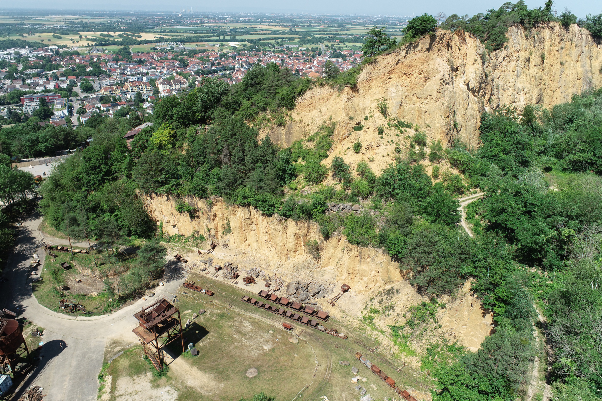
In June 2025, Ronald Tabernig and Hannah Weiser, researchers in the 3DGeo Research Group (Prof. Bernhard Höfle), held the annual 3D sensor practical, a two-day practical field course which took place in two exciting study sites close to Heidelberg:
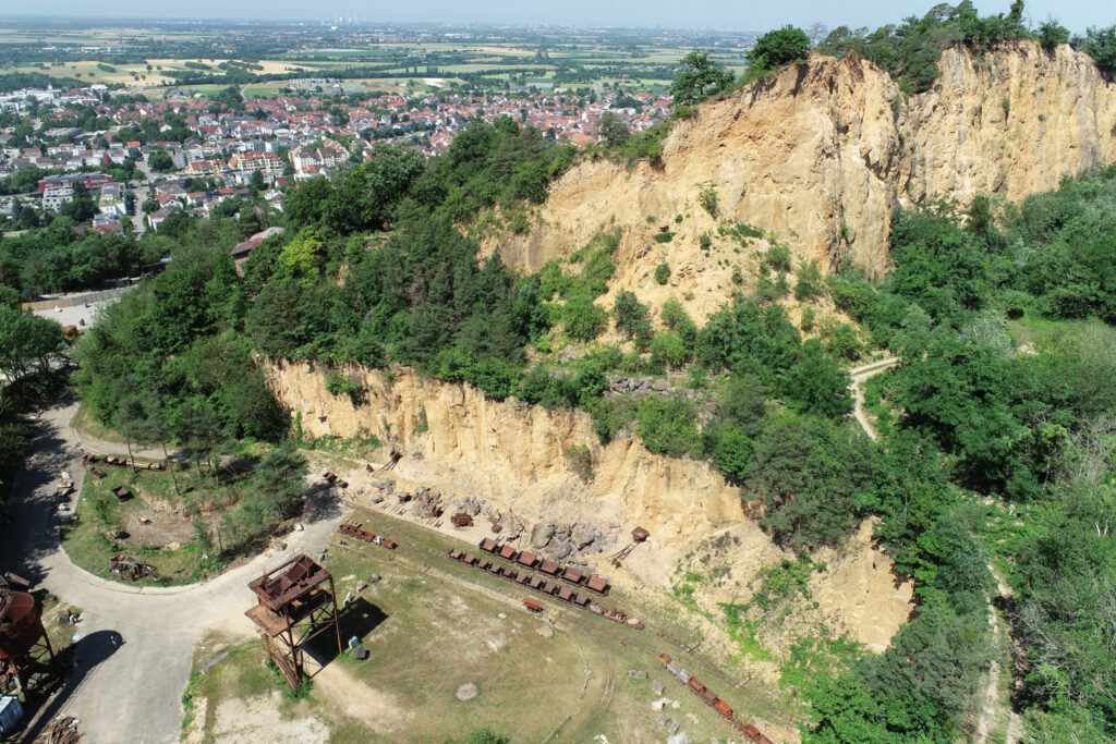
- Steinbruch Leferenz, a former quarry in Dossenheim
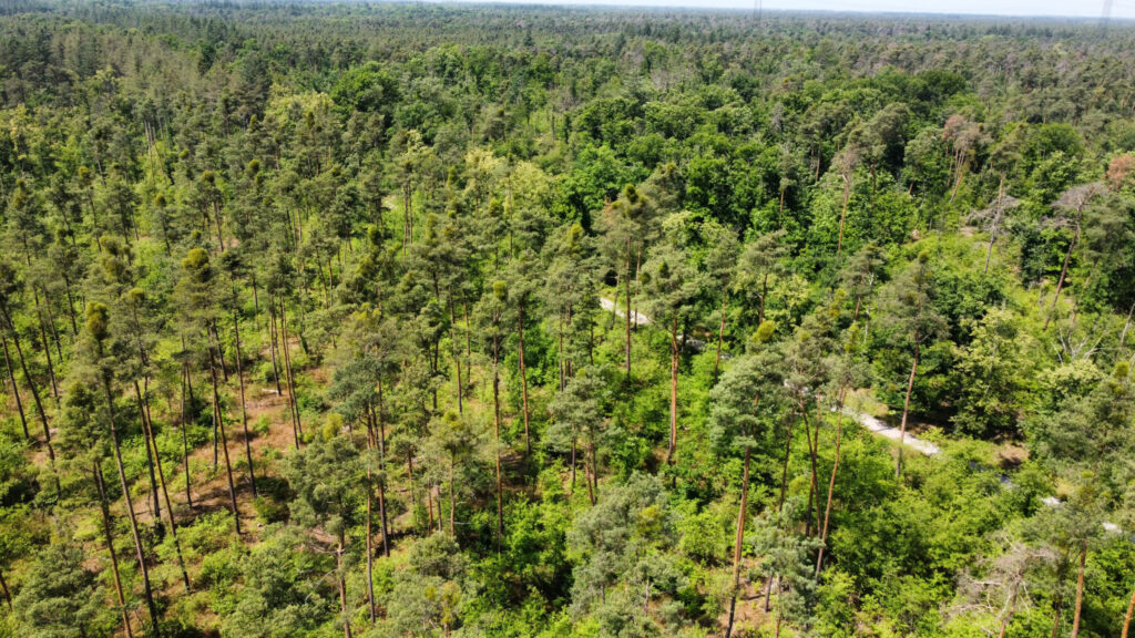
- Schwetzinger Hardt, a sparse pine forest in Sandhausen

Our students learnt:
- how to measure locations on the ground precisely using global navigation satellite systems (GNSS) with Real Time Kinematic (RTK) corrections
- how to plan and conduct UAV photogrammetric flight missions for 3D reconstruction of a scene (they even became drone pilots themselves!)
- how to scan an area with terrestrial laser scanning (TLS) in static multi-station mode and in mobile kinematic mode.


Since we surveyed the same study sites last year, students will be able to observe changes such as rockfalls at the quarry and variations in tree health in the forest.
Or, like below, damage to infrastructure!
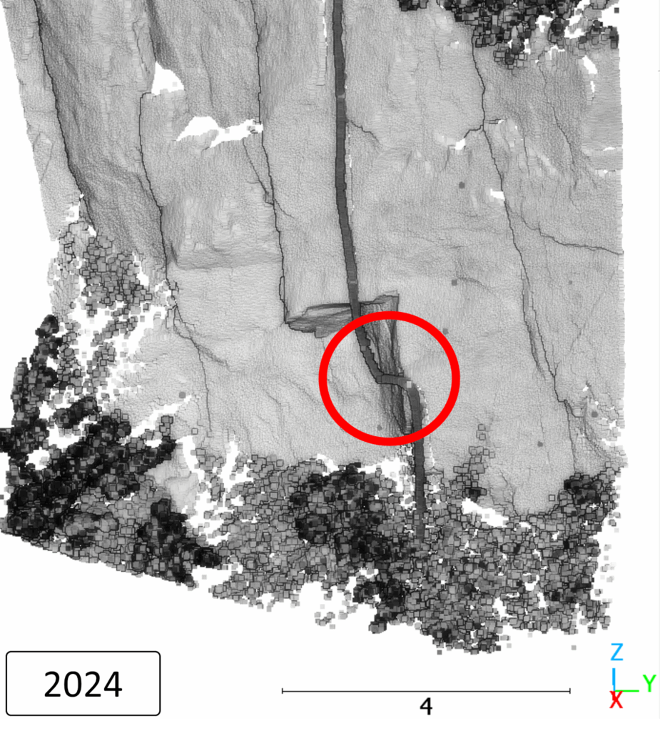
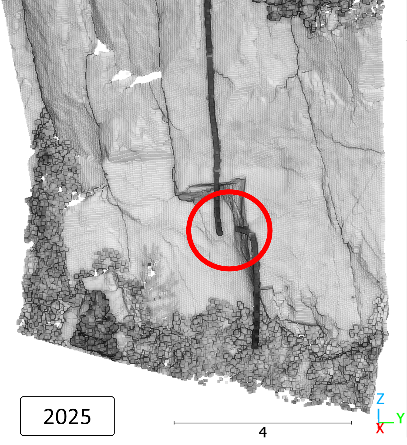
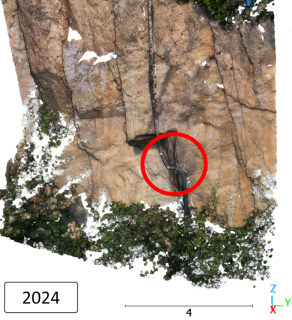
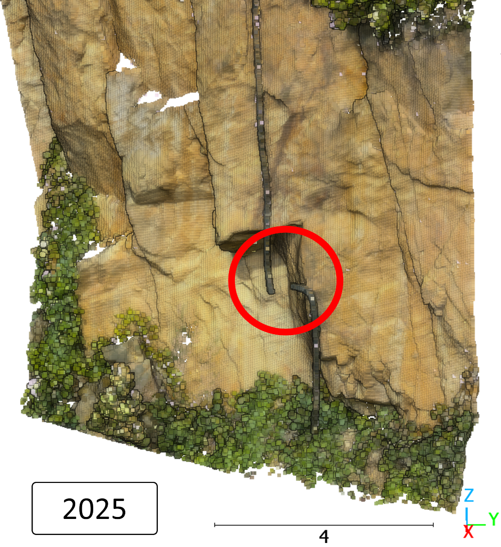
The students will write a short report on the surveying methods and conduct their own analysis. This will demonstrate how the resulting products — georeferenced point clouds, digital surface models, orthophotos and 3D models — can be used to answer geographical questions.
Check out the acquired 3D model of Steinbruch Leferenz on Sketchfab:
- 2025: https://skfb.ly/pyqEz
- 2024: https://skfb.ly/pyqEC
And the point clouds in our 3DViewer (based on potree):
- Steinbruch Leferenz: https://syssifoss.geog.uni-heidelberg.de/potree/scenes/UAVPhoto_Leferenz/
- Forest Sandhausen: https://syssifoss.geog.uni-heidelberg.de/potree/scenes/Sandhausen/
For more information on our 3DGeo teaching portfolio, visit our Website:


