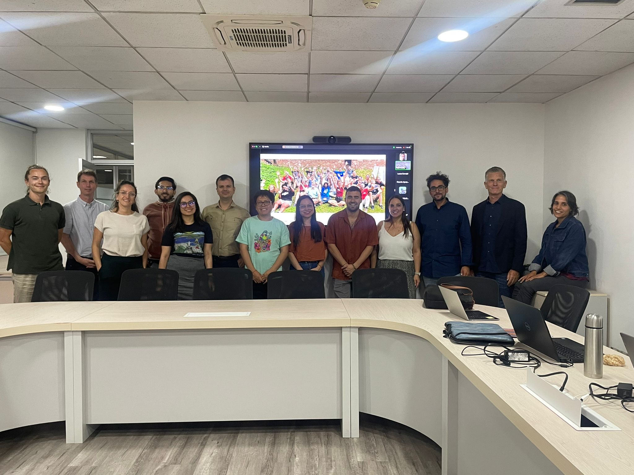
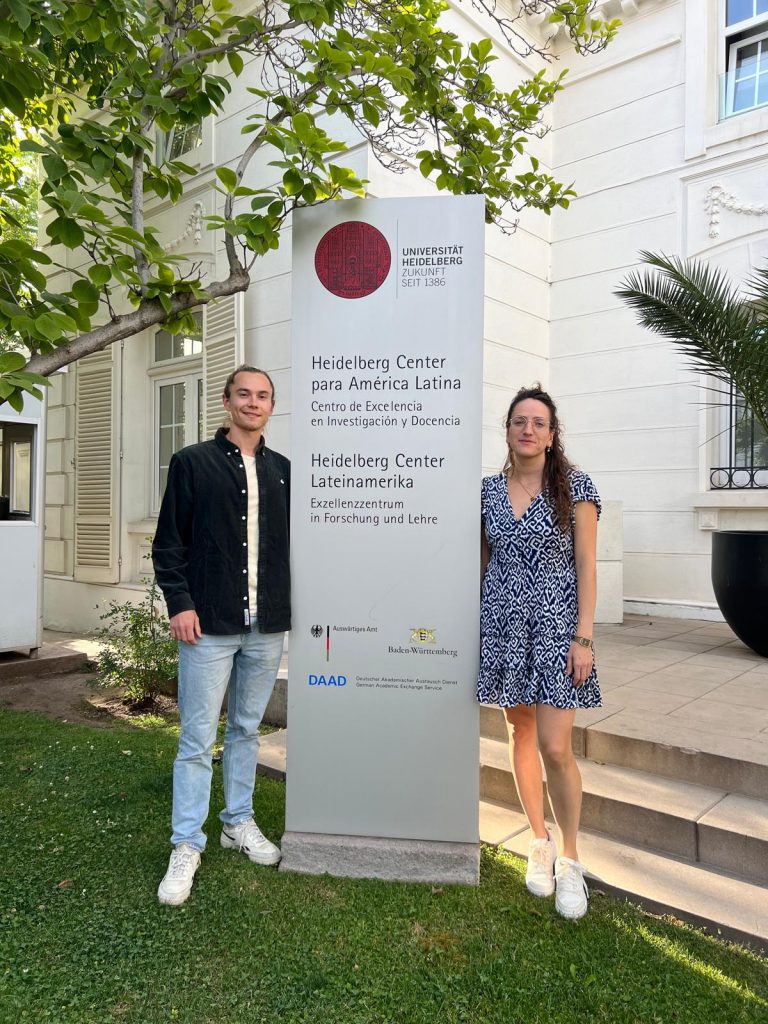
Recently, our colleagues traveled to Chile as part of our ongoing collaboration with the Heidelberg Center Latin America. During their visit, they hosted a block course, met with local research institutes, and participated in an alumni meeting for the master’s program “Governance of Risk and Resources” at the Heidelberg Center Latin America.
Anne Schauss and Steffen Knoblauch delivered a course about Geographic Information Systems (GIS) and Applications for Disaster Risk Management, which is part of the international Master program “Governance of Risks and Resources”, offered by Heidelberg University in cooperation with Pontificia Universidad Católica de Chile and Universidad de Chile. This collaborative Master program aims to equip students with tools and in-depth knowledge related to the management of natural resources, risk governance, and territorial planning.
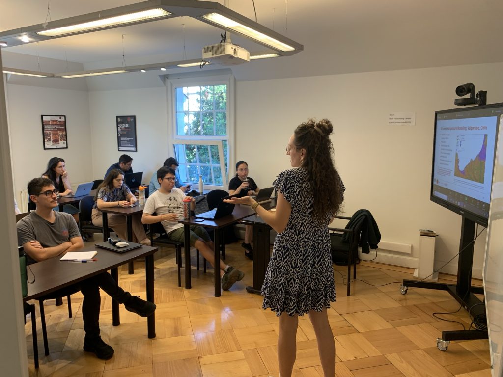
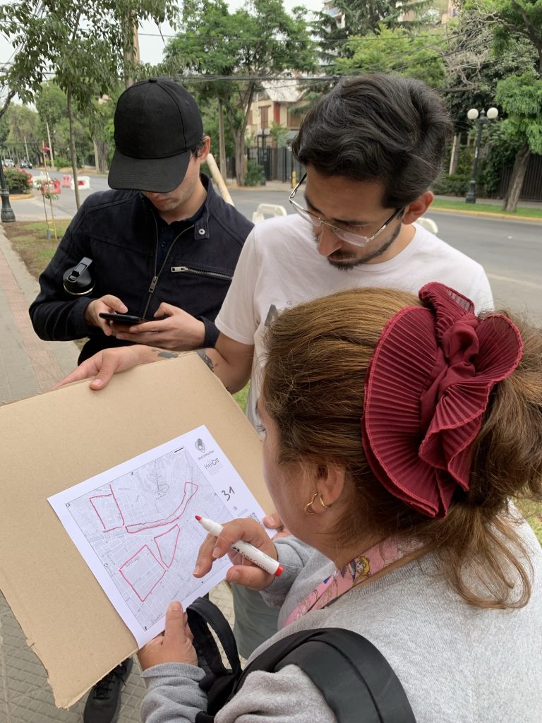
The course provided an overview of key Geodata Sources for governance and introduced students to Geographic Information Systems (GIS). The session combined theoretical insights with a hands-on exercise using QGIS software, allowing students to practice GIS techniques. The program also featured a session on mobile data collection tools such as Kobo Toolbox and Sketch Map Tool. In a field exercise, students applied these tools in tandem to collect data on crime hotspots in Santiago. While the Sketch Map Tool emphasized the spatial dimension of the data, Kobo Toolbox was used to capture additional thematic information, integrating both geographic and contextual details to enhance their analysis.
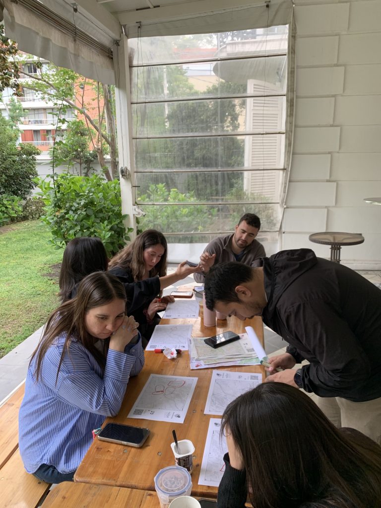
The visit was also rich in networking opportunities. In addition to their teaching duties, our colleagues met with researchers from CIGIDEN (Centro de Investigación para la Gestión Integrada del Riesgo de Desastres) to discuss potential areas for future collaboration. They also participated in an alumni meeting with graduates of the “Governance of Risk and Resources” program, strengthening connections and exchanging insights on how the program’s content is applied in practice.
The visit concluded with a public lecture by Prof. Alexander Zip at Universidad Católica, titled “Potential and Challenges of Volunteered Geographic Information for the Governance of Risk and Resources,” which contributed to ongoing academic discussions in the field.
To keep up with future developments and releases related to this project as well as other efforts to advance geospatial technology in the mobility, humanitarian aid, and data analytics space, follow our social media channels and stay up to date on our blog.


