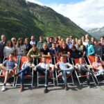
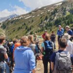
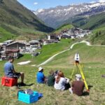
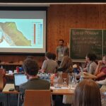
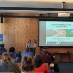
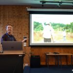
Close-range sensing techniques in Alpine terrain have been taught in the frame of a bi-annual ISPRS summer school since 2015. This week, a group of 40 young researchers (mainly PhD students) is participating in the third edition of the summer school to learn about various sensors, processing techniques, and analysis methods for different topics in high-mountain research. The program consists of a mix of lectures, keynote talks, hands-on data acquisition and processing, and assignments, in the frame of which participants work on specific research topics in groups.
Lectures were given by
- Martin Rutzinger on Alpine Research and Close-Range Sensing Techniques in Alpine Terrain
- Marco Scaioni on Photogrammetry
- Sander Oude Elberink on Point Cloud Segmentation
- Francesco Pirotti on Point Cloud Classification
- Bernhard Höfle on Point Cloud Simulation
- Roderik Lindenbergh on Change Detection
The summer school benefited highly from the great composition of keynote talks by
- Fabio Remondino on Past, Current and Future Developments in Photogrammetry
- Norbert Pfeifer on Laser Scanning Fundamentals and Challenges for Mountain Research
- Heather Viles on Biogeomorphology in the Anthropocene
- Georg Wohlfahrt on The Ecobot Concept (with Demo!)
- Simon Buckley on Combining Remote Sensing and Geoscience Data for Virtual Field Trips
- Bas Altena on ICECUBES – Observing the Ice of our Planet with Daily Cubesat Imagery
Follow the many impressions of the summer school on Twitter: #ISSAR19 #CRSTAT
An important part of the summer school are the group assignments, where participants worked on their own research questions from data acquisition to analysis. Topics lead by the organizational team of lecturers and additionally Thomas Zieher, Magnus Bremer, and Katharina Anders included geomorphic change analysis, classification of Alpine landscape elements, and analysis of temperature patterns, with LiDAR sensors (terrestrial and UAV), photogrammetric techniques (terrestrial and UAV), and thermal imagery.
The assignment group lead by the 3DGeo found some interesting results in analyzing surface changes in multitemporal TLS data of a rockfall (2015 and 2019) that are put into the context of post-glacial landscape evolution. We’ll keep you updated on follow-up studies and publications!
We congratulate and thank Martin Rutzinger for the (again!) great organization of the summer school and are already looking forward to the fourth edition!


