Kick-off meeting of BMBF/MOST project “ER3DS” at Heidelberg University

On Tuesday 26 March 2019, the 3DGeo Research Group of Prof. Bernhard Höfle and the newly founded Transdisciplinary Lab (TdLab) Geography (Dr. Nicole Aeschbach) hosted a workshop on “Emission Reduction in Smart Cities Using 3D Spatial Sensing and Analysis (ER3DS)” within the frame of the collaboration and exchange project ER3DS running from 2019 to 2020.

Participants of the first ER3DS workshop.

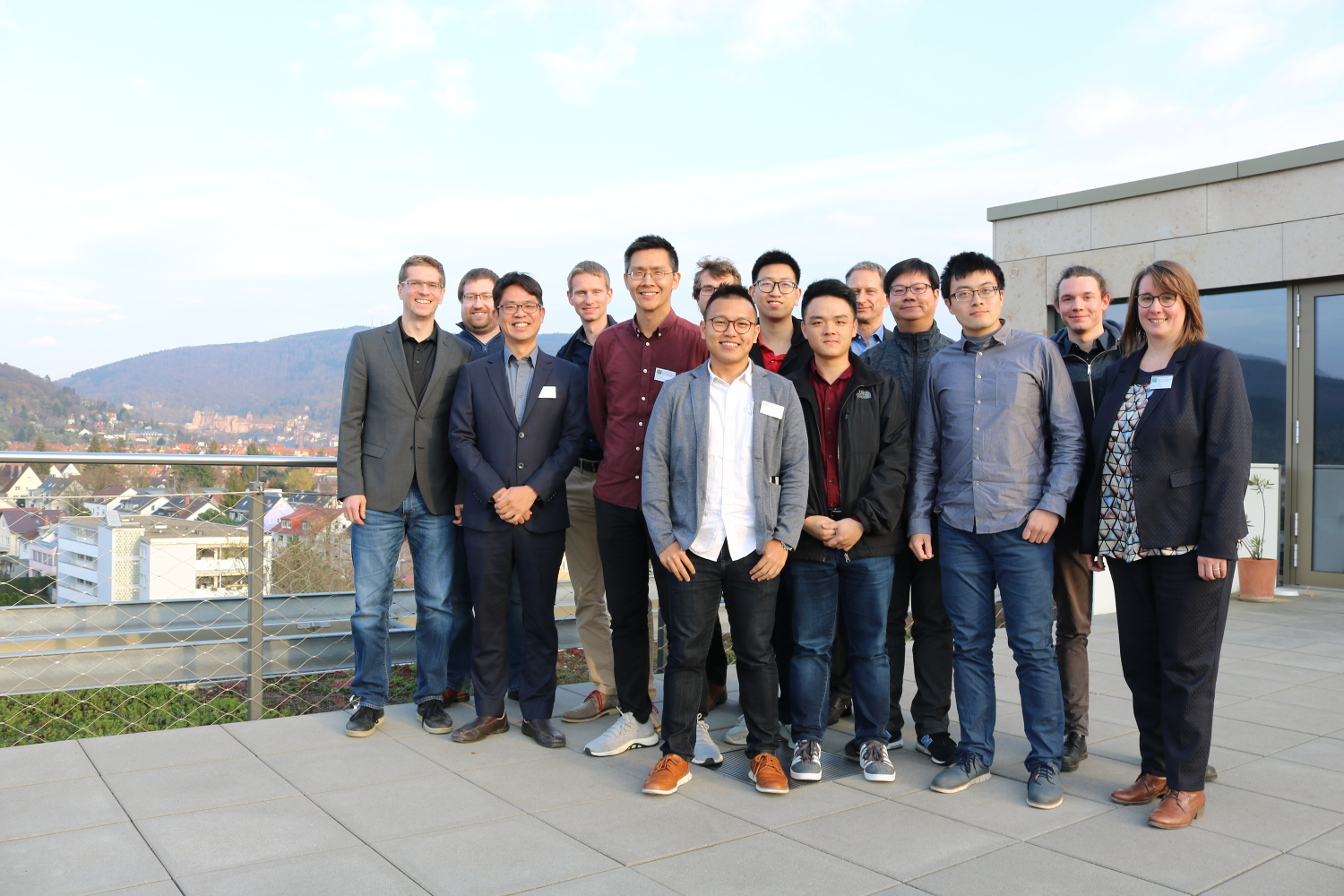
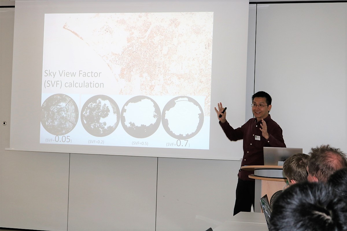
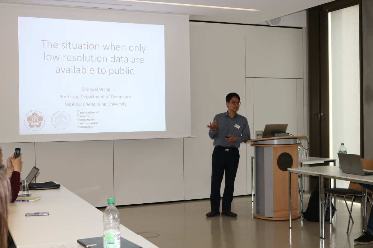
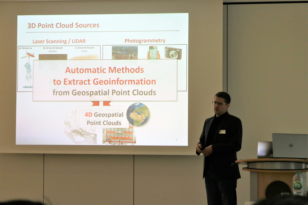
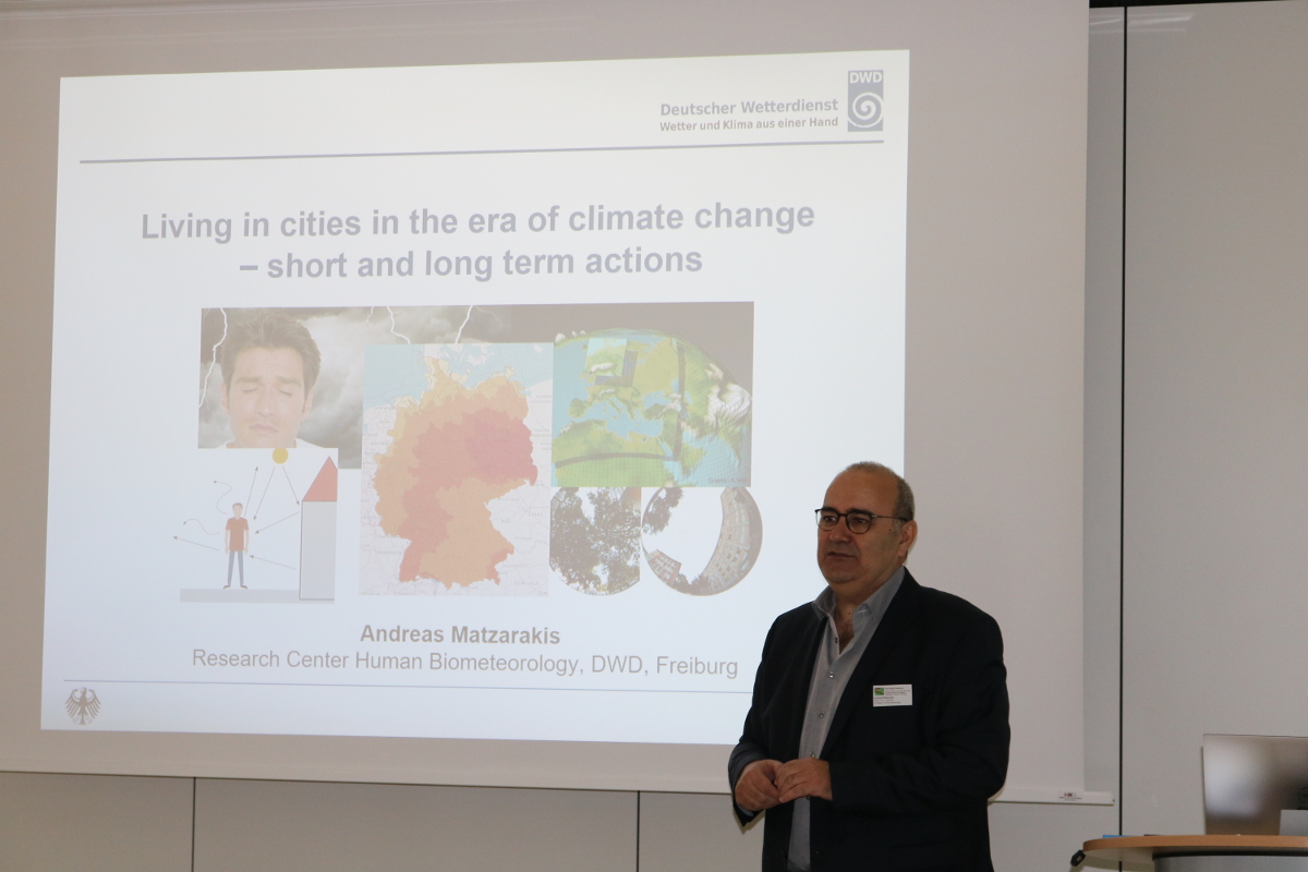
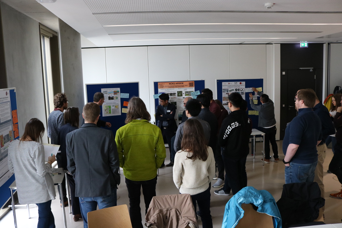
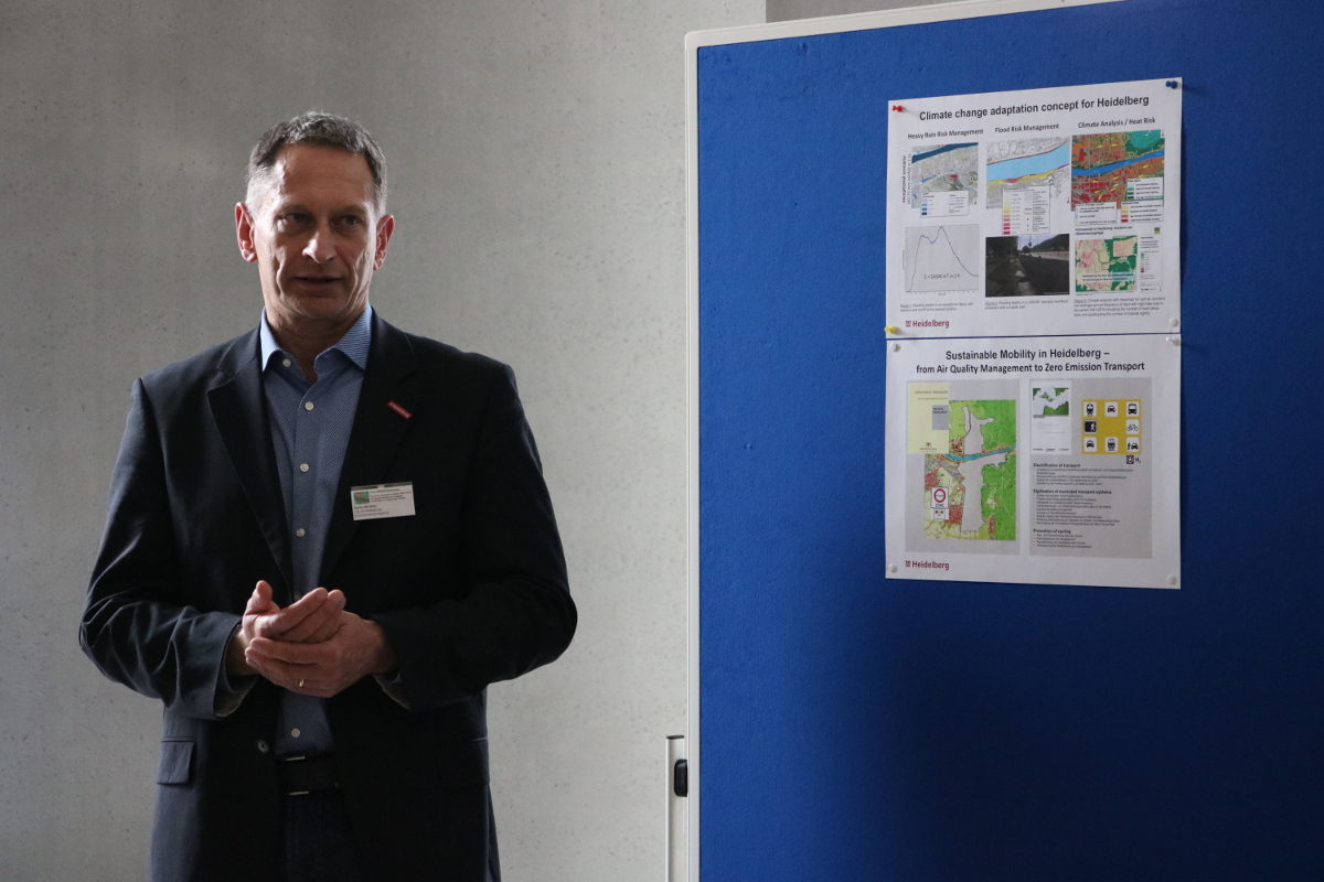
The aim was to integrate the knowledge of geography / geoinformatics, architecture, planning and environment, building energy use, and urban climate experts from Taiwan and Germany. Selected speakers from academia, SMEs and public authorities were brought together in order to assess the (future) role of 3D geodata and 3D analysis for emission reduction in the smart city context (e.g. smart building-integrated photovoltaics). As a result of the transdisciplinary workshop we exchanged know-how from multiple directions and we identified existing and new (joint) application examples. Moreover, we connected and linked new project partners in Heidelberg and Taiwan and we are able to address the main challenges across science and practice as well as between Germany and Taiwan.

Dr. Nicole Aeschbach and Prof. Bernhard Höfle opening the workshop.
Prof. Tzu-Ping Lin (National Cheng Kung University of Taiwan, Co-PI of the ER3DS project) talking about the application of urban 3D data for thermal, wind, and energy issues in urban areas.
Prof. Chi-Kuei Wang (National Cheng Kung University of Taiwan, PI of the ER3DS project) talking about the application of low resolution data for emission reduction in the smart city context.
Prof. Bernhard Höfle giving a presentation how to benefit from 3D geographic point clouds to reduce emissions.
Prof. Bernhard Höfle (PI of the ER3DS project) giving a presentation how to benefit from 3D geographic point clouds to reduce emissions.
Prof. Andreas Matzarakis (University of Freiburg and German Meteorological Service) giving a talk about short term and long term actions in cities in the era of climate change.
Discussions during a poster session.
Discussions during the "expert marketplace".
Raino Winkler (City of Heidelberg, Environment Department) presenting a poster on climate change adaption strategies in the city of Heidelberg.
Dr. Raino Winkler (City of Heidelberg, Environment Department) presenting a poster on climate change adaption strategies in the city of Heidelberg.

Many thanks to the IWR-Mathematikon administration for supporting the workshop with a perfect venue, and also to the helping hands in the background (Bettina Knorr, Carina Altmeyer and Hannah Weiser).

Find more information about the ER3DS project on the project website and in the GIScience News Blog. In case you want to contribute with your experience and knowledge about ER3DS, feel free to contact us directly.

The project ER3DS is funded by BMBF (Germany, FKZ 01DO19001) and MOST (Taiwan).