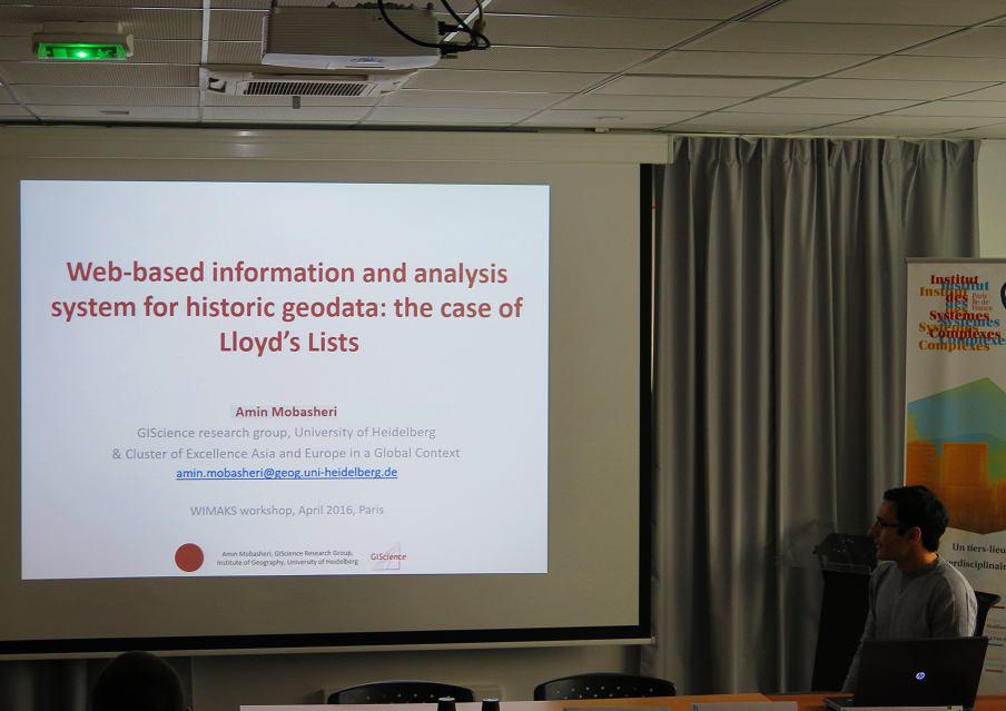
The second international workshop on maritime flows and networks was organized by the World Seastems European FP7 project during 25th-27th of April 2016 at the Institute of Complex Systems of French National Center for Scientific Research (CNRS), Paris. The workshop contained 12 sessions, 3 keynote speeches and 33 paper presentations which were given by 72 participants. The topics of some of the sessions were related to GIS domain such as session 1: Geovisualization of maritime networks, session 4: Maritime networks and Land-Sea interactions, as well as session 11: Maritime networks and spatial interactions.
From GIScience Heidelberg, Amin Mobasheri actively participated in the workshop and presented the results of the ongoing LLOYDS lists project. His presentation included the modeling and spatio-temporal analysis of speakings information in LLOYDS dataset as well as introducing the web GIS prototype implemented for inspection and analysis of LLOYDS dataset. Similar topics included the presentation of Dr. Claire Lagesse from Seastems project regarding geo-visualization of the worldwide maritime network over 30 years with focusing on the existing challenges and presenting their preliminary results.
Another interesting presentation was given by David Guerrero about geographical analysis of the relationship between inland accessibility and and maritime transport supply. The workshop included several panels of discussion between the participants and ideas for future work and collaboration.
Extended version of articles from workshop presentations are planned to be submitted and published as book chapters in a book entitled: Advances in shipping data analysis and modeling edited by Dr. Cesar Ducruet, published by Taylor and Francis (Routledge studies in transport analysis).


