

Following up on the joint field trip to the Peloponnese in Greece this spring, the GIScience Group, welcomed Lisa Bingham and Andreas Habel, two scientists from the University of Stavanger, Department of Petroleum Engineering, for a two-day workshop (Dec 9 and 10, 2015) on LiDAR processing. The main objective of the LiDAR workshop was to teach Heidelberg’s 3D geoprocessing methods and to discuss new procedures for using terrestrial LiDAR 3D point cloud data in geological research.
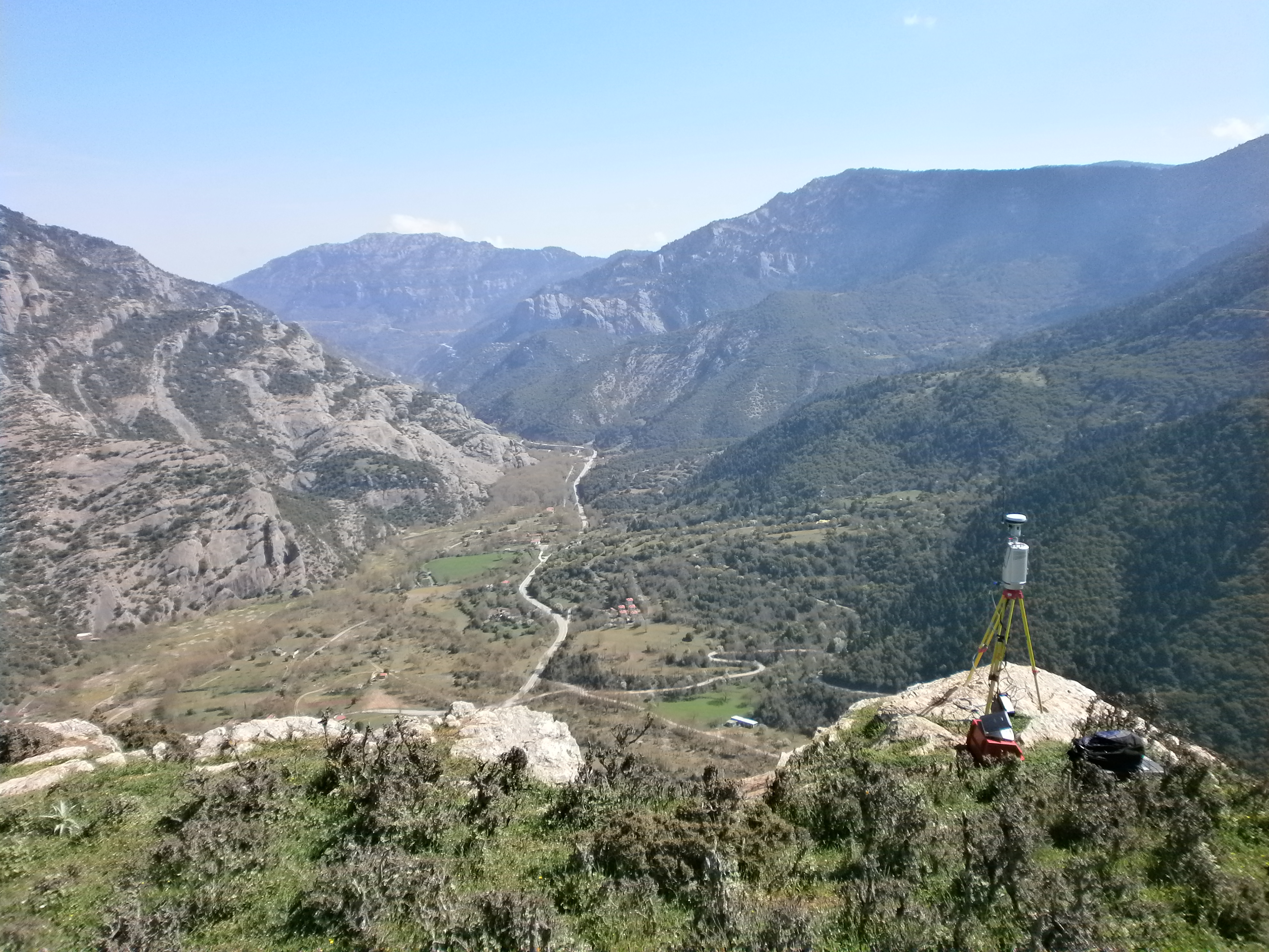
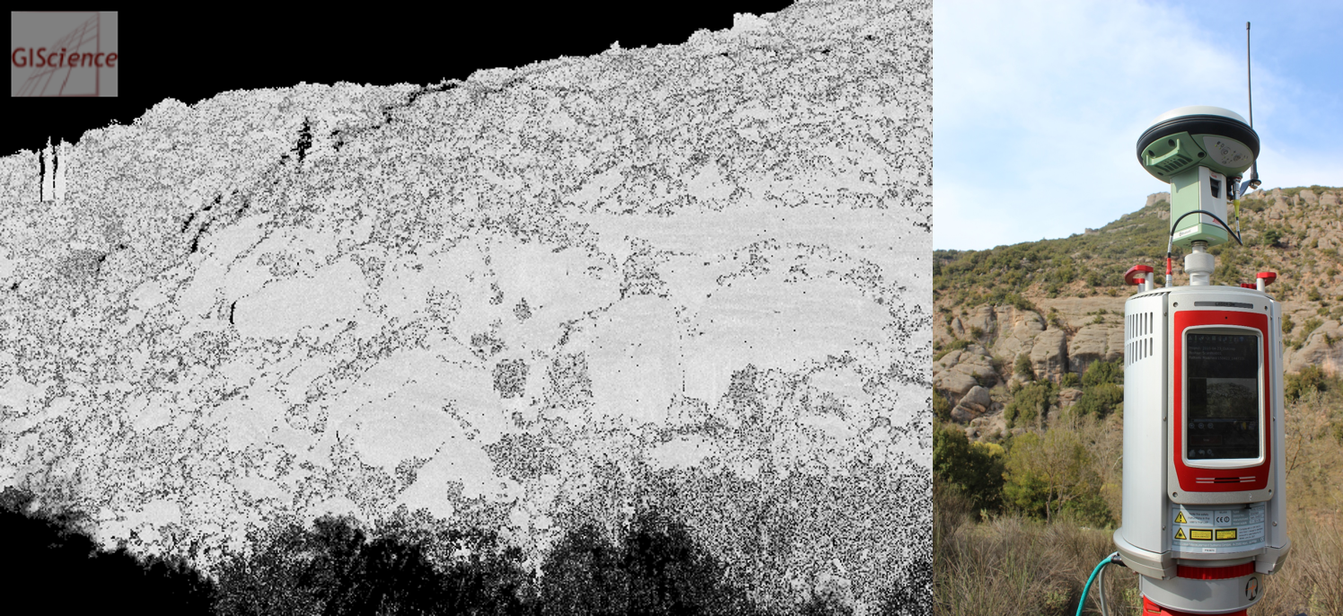
Overall background of the official collaboration between Heidelberg University and University of Stavanger is the stronger integration of LiDAR data and 3D geoprocessing methods in teaching and research at both universities. The technical basis for the data acquisition by terrestrial LiDAR was established in the frame of the field campaign around Kerpini and Rogi. The aim, here, is to generate a high-accuracy 3D outcrop model – the first of its size – of this geologically exciting area. The billions of single laser measurements will support the understanding of this complex area. In future, LiDAR methods will be applied for investigating further research questions in the geological field of the University of Stavanger.
Beyond the intensive training in LiDAR processing, the recent visit was a pleasant side effect of the continuing collaboration, including a visit of the famous Christmas market at the Heidelberg Castle.