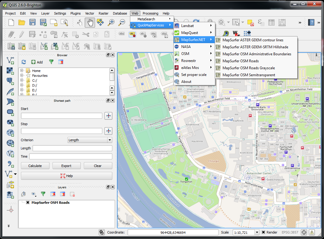
Using the free and open soruce gis QGIS in work or research, sometimes you might need to visualize spatial data on top of a basemap that is provided through different web interfaces such as WMS, WMTS or TMS service. Generally, this can be accomplished by using either WMS drivers or OpenLayers plugin. Both solutions have their merits and flaws, which are not going to be discussed in this blog post. This post is dedicated to briefly introduce a new alternative way of utilizing raster web maps in QGIS. A new free plugin called QuickMapServices, that has been recently developed and published by a russian company NextGIS, Ltd., allows adding and using web maps in few clicks. By default, this plugin provides a predefined list of web map services that can be easily extended by creating an ini file.
We are very pleased to mention that along with other maps provided by Landsat, MapQuest, OSM and NASA, the default set includes all maps and overlays available through our OSM based quality cartography OpenMapSurfer web service.