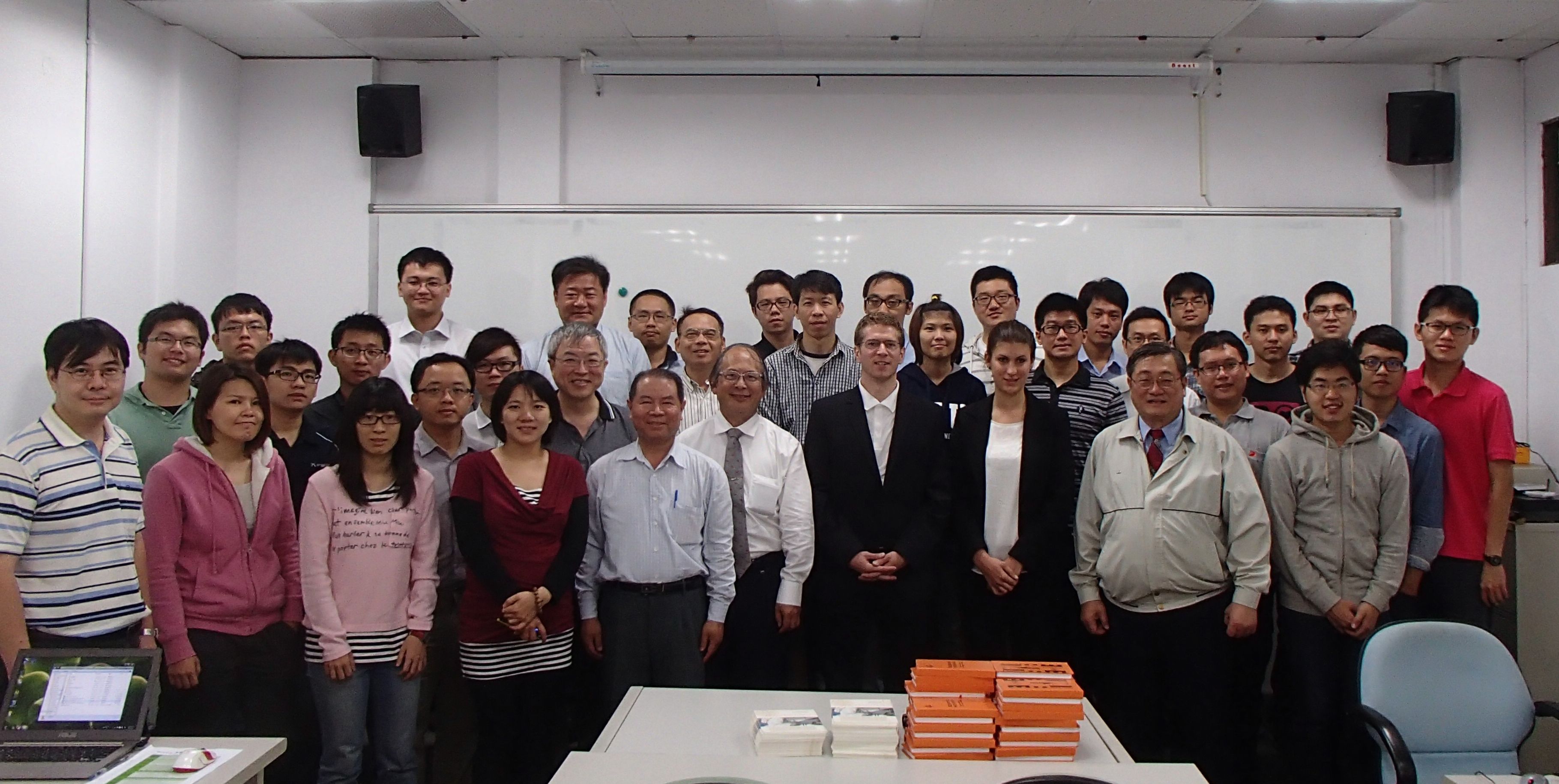
The one-day workshop on the Orientation and Processing of Airborne Laser Scanning data, OPALS – From Points to Models, took place at the National Taiwan University in Taipei on 9 April 2014. The workshop was organized by the LiDAR Research Group of the GIScience Group at the Heidelberg University (Bernhard Höfle, Sabrina Marx), the Department of Earth Sciences of the National Cheng Kung University in Tainan (Prof. Ming-Chee Wu, Mon-Shieh Yang) and the Taiwan Group on Earth Observations (TGEO). The workshop was very well attended with more than 40 participants from academia, governmental institutions and industry.

First of all, principles of LiDAR point cloud processing and analysis were introduced to the workshop participants. A hands-on part on processing of LiDAR point clouds using OPALS and QGIS completed the theoretical background. About half of the workshop was dedicated to practical examples, based on the outcomes of research projects of the LiDAR Research Group Heidelberg.
The OPALS software is developed at the Vienna University of Technology, Department of Geodesy and Geoinformation (Research Group Photogrammetry, Prof. Pfeifer): http://geo.tuwien.ac.at/opals
Furthermore, Bernhard Höfle gave two talks about the opportunities and challenges of coupling LiDAR and GIS:
Apr 11, 2014
LiDAR and 3D-GIS in Geosciences and Environmental Research at the Department of Earth Sciences, National Cheng Kung University (NCKU), Taiwan.
Apr 8, 2014
Bridging Remote Sensing and Geoinformatics for Geoinformation Extraction from 3D Point Clouds at the National Chiao Tung University (NCTU), Taiwan.


