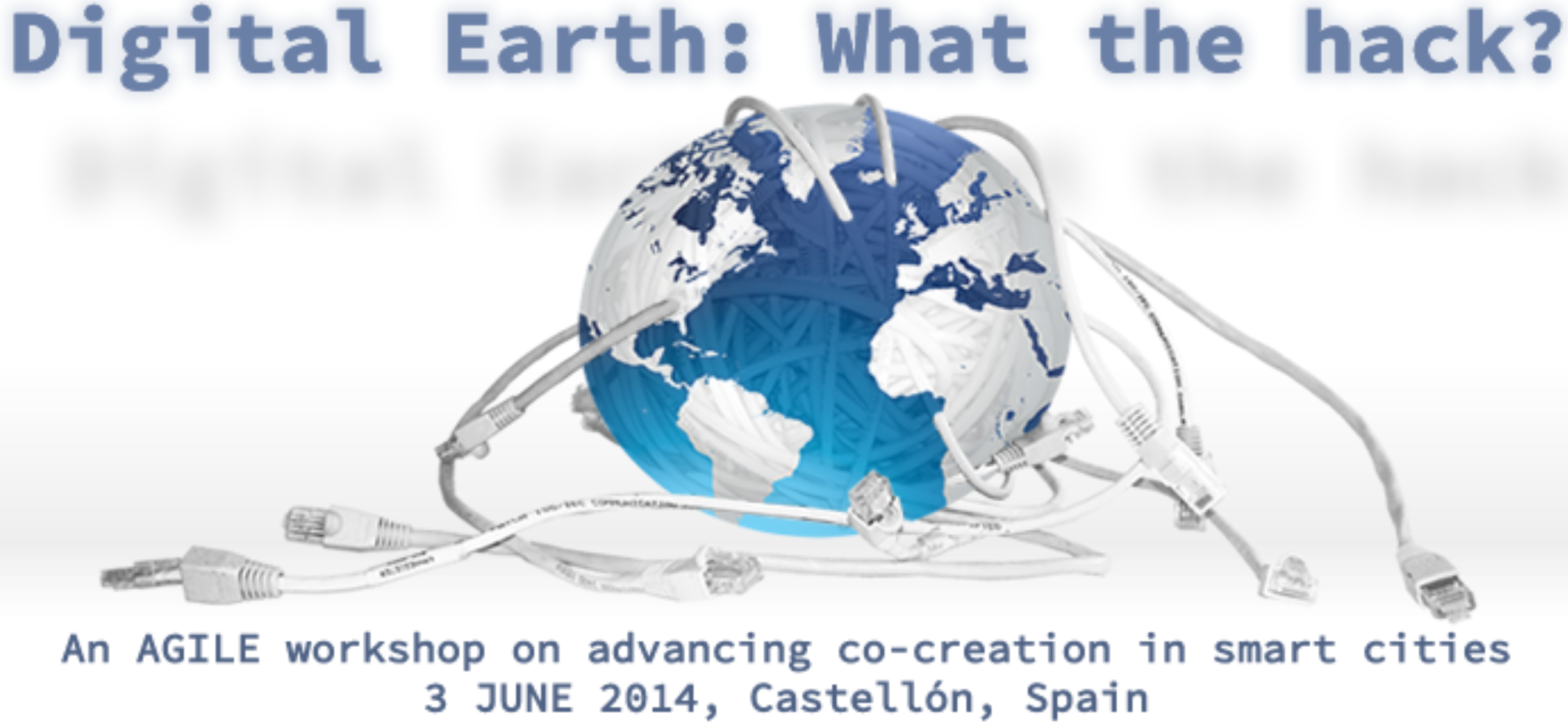
Objective
This workshop will elaborate on the possibilities of using geospatial information and processing across multiple sectors, and thereby implementing Digital Earth applications, i.e. applications of next-generation Geographic Information Systems (GIS) and Spatial Data Infrastructure (SDI). With this event, we initiate a coordinated discussion on the topic and through published guidelines prepare the ground for organizing future hackathons and mapathons. We will particularly investigate possibilities for organizing parallel events as competitions between (smart) cities. After the event, we intent to co-author a white paper on the identified issues, our joint conclusions and possible follow up activities.
Your contribution
For optimal use of our joint time, we invite everybody to submit questions that he/she proposes as kick-off questions for roundtable discussions during the workshop, questions which directly address issues to be considered in the organization of future hack-/mapathons. We also invite you to provide a brief and concise explanation about the relevance of your discussion question (Deadline: 20 May 2014). Participants will have the chance to briefly present their questions and a sub-set will be selected for detailed discussion during a World Café.
Submission of questions can be done on the workshop website (http://kartoweb.itc.nl/agilehackworkshop/). Here you also find the preliminary workshop program and further information.
We are looking forward to meeting you in Spain!
Rob Lemmens, University of Twente – ITC
Sven Schade, European Commission – JRC
Florian Hillen, University of Osnabrück
Christine Richter, University of Amsterdam
Bernhard Höfle, University of Heidelberg
Yola Georgiadou, University of Twente – ITC


