Tag: VGI
-

Crowdmapping on Street-Level Imagery with MapSwipe
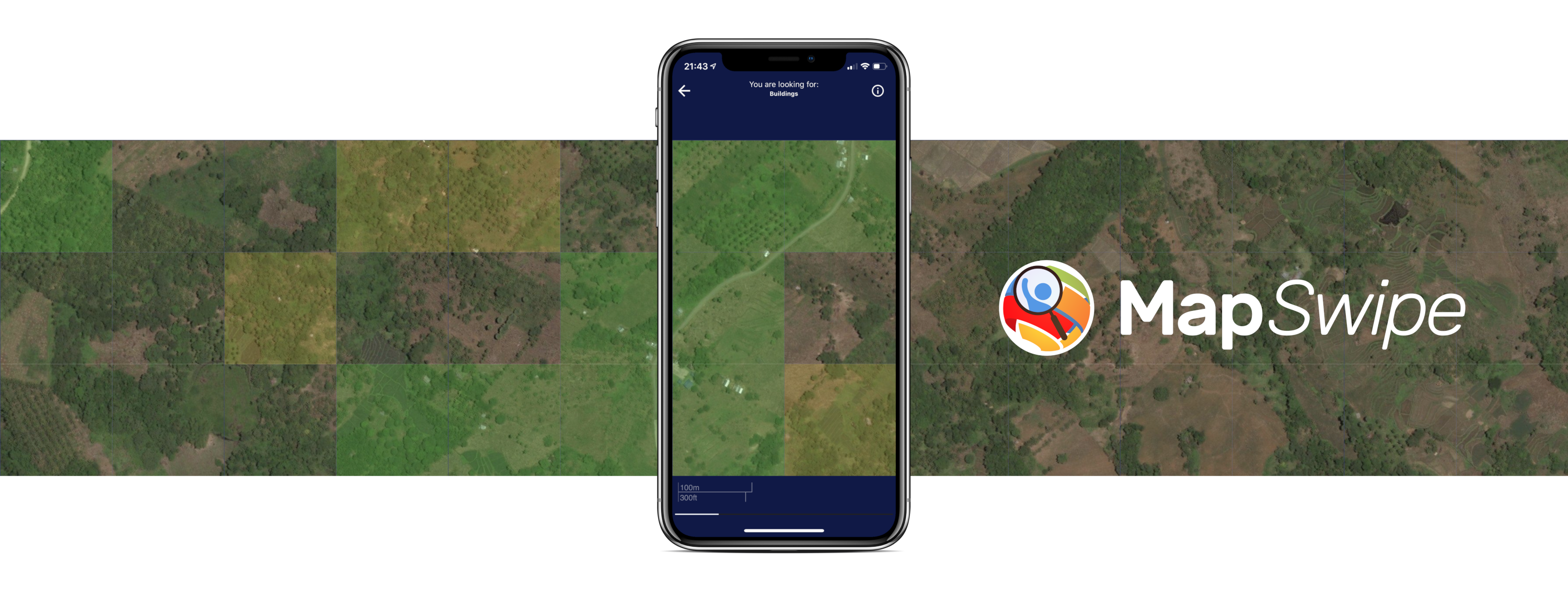
The crowdmapping app MapSwipe now integrates also street-level imagery. This new feature enables even mapping efforts that require the highest level of detail, such as detecting waste on the street. The MapSwipe App MapSwipe is an open-source app that enables volunteers to map missing geodata, making global mapping efforts more coordinated and efficient. Free, reliable geodata…
-

Call for Papers: Special Issue on Urban AI in Environment and Planning B
Together with collaborators from Urban Analytics Lab Singapore and CICI Lab, we are organising a special issue in Environment and Planning B: Urban Analytics and City Science, on the topic of Urban AI for a Sustainable Built Environment. Here is the summary of the call for papers: “Recently, Urban AI has become an emerging field…
-

OSM Element Vectorisation Tool Version 1
The IDEAL-VGI research project is nearing its end. And while that won’t be the end of our research into social data sources, data quality analyses and land-use information, we are happy to announce a major outcome: the version 1 release of the OSM Element Vectorisation Tool (OEV). The tool was first presented to the public…
-
Understanding spatiotemporal trip purposes of urban micro-mobility from the lens of dockless e-scooter sharing
Over the last two years, we have witnessed the ever-fast growth of micro-mobility services (e.g., e-bikes and e-scooters), which brings both challenges and innovations to the traditional urban transportation systems. For example, they provide an opportunity to better address the “last mile” problem due to their convenience, flexibility and zero emission. As such, it is…
-
New “Robert and Christine Danziger PhD Scholarships“ 2022 in Geoinformatics at GIScience Heidelberg University for PhD students from Africa – DL 15.July
It is our great pleasure to inform about the new “Robert and Christine Danziger Scholarships“ 2022 for doing a PhD in Geoinformatics at Heidelberg University. Please make yourself familiar with the research topics at GIScience Heidelberg and HeiGIT (e.g. projects, papers) when suggesting potential topics for your PhD research. Short facts: The Robert and Christine Danziger Scholarship is awarded to very…
-
Räumliche Daten für die Gesellschaft – HeiGIT in die Zukunft geführt
Unterführungen, Treppen und hohe Bordsteinkanten sind für Menschen mit Gehbeeinträchtigungen eine große Herausforderung. Ein maßgeschneiderter Routenplaner kann aber ihre Mobilität erhöhen, indem er Wege mit möglichst wenigen Hindernissen berechnet. Dieses Beispiel zeigt, wie Geoinformationstechnologie und Geoinformatik speziellen Gruppen in der Gesellschaft ganz konkret helfen. HeiGIT, das Heidelberg Institute for Geoinformation Technology, entwickelt nicht nur passgenaue…
-
Job Offer: “Lead: Geo Machine Learning for Good” Senior Spatial Data Science Expert (m, f, d) 100% permanent, HeiGIT gGmbH
Job advertisement HeiGIT gGmbH Do you want to use your machine learning expertise for the benefit of society and the environment? Do you want to improve the availability and quality of geospatial data and further develop geoinformatics methods used for open, non-profit applications in the field of sustainability, mobility and humanitarian aid? That’s our mission…
-
Stellenausschreibung Geoinformatik Heidelberg – Project GeCO: Generating high-resolution CO2 maps by Machine Learning-based geodata fusion
Stellenausschreibung Universität Heidelberg – GIScience Wissenschaftliche Mitarbeiter:in Geoinformatik – Projekt GeCO GeCO: Generating high-resolution CO2 maps by Machine Learning-based geodata fusion Du hast Interesse an Klimawandel, Treibhausgasemissionen und innovativen Geoinformatik-Methoden? Im Rahmen des vom Heidelberg Center for the Environment (HCE) durch die Exzellenzstrategie geförderten Kooperationsprojektes GeCO suchen wir baldmöglichst nach einer wissenschaftlichen Mitarbeiter:in (m/f/d). Die…
-
New Project: GeCO: Generating high-resolution CO2 maps by Machine Learning-based geodata fusion and atmospheric transport modelling
Recently a new project has been starting in the context of Climate Change Action research: GeCO: Generating high-resolution CO2 maps by Machine Learning-based geodata fusion and atmospheric transport modelling The spatiotemporal distribution of greenhouse gases and their sources on Earth has so far been considered mainly at relatively coarse resolutions. There is a lack of…
-
Automatic mapping of national surface water with OpenStreetMap and Sentinel-2 MSI data using deep learning
Large-scale mapping activities can benefit from the vastly increasing availability of earth observation (EO) data, especially when combined with volunteered geographical information (VGI) using machine learning (ML). High-resolution maps of inland surface water bodies are important for water supply and natural disaster mitigation as well as for monitoring, managing, and preserving landscapes and ecosystems. In…
-
A Web App to generate and disseminate knowledge on urban green space qualities and their accessibility
Urban green spaces (UGSs) can provide important ecosystem services for citizens and their well-being. To make use of these services according to UGS user demands, urban residents, tourists, and city administrations should know where UGSs are located, what qualities they have and how to reach them on convenient routes. A new open access paper at…
-
GIScience and HeiGIT contributions to AGILE 2021 conference
The AGILE 2021 conference is taking place this week. It is the the 24rd AGILE conference on GIScience. AGILE is the Association of Geographic Information Laboratories in Europe and the 2021 conference is for the first time held as a virtual conference. As in earlier years GIScience Heidelberg and HeiGIT are contributing to the conference with several…


