
Tag: Land Cover
-
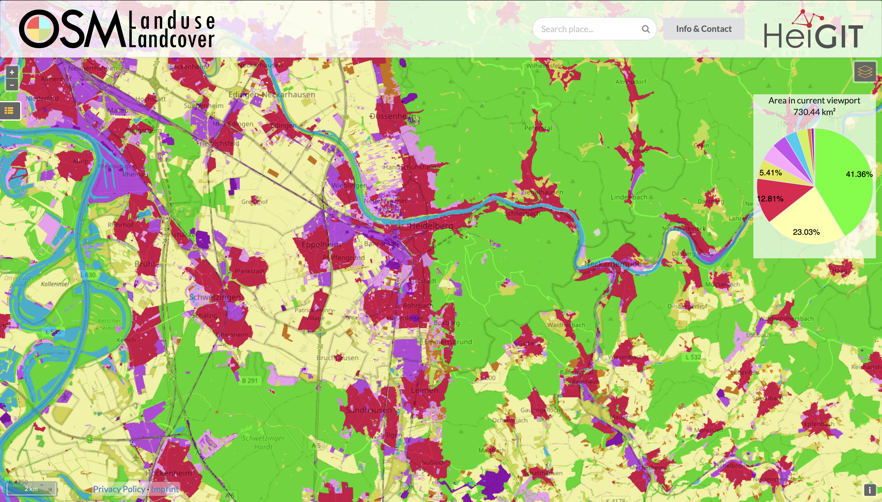
Functionality Update for OSM Landuse Landcover
We are pleased to announce that https://osmlanduse.org has received a functionality update. Thanks to the cooperation of GIScience and HeiGIT under the IDEAL-VGI project, our researchers were able to add a number of new features to the interactive map. The map displays OSM land-use and land-cover information. The two different data layers that made up…