
Tag: history
-
2022 #30DayMapChallenge Round-Up Part 2: Deleted Maps
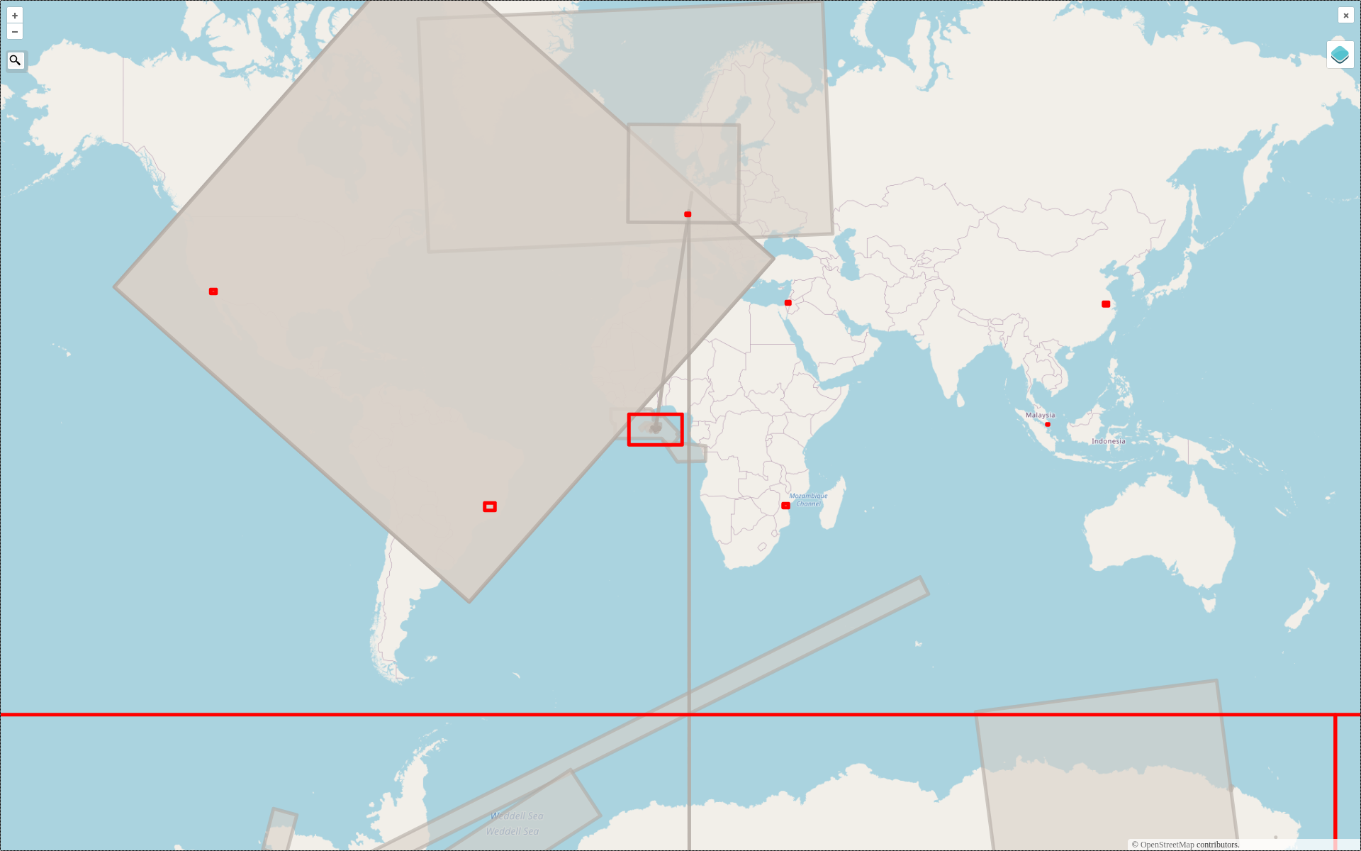
Featured photo: The deleted map displays all deleted elements within the analyzed areas (red). Gray rectangles represent deleted buildings. This past November, our teams at HeiGIT and GIScience participated in Topi Tjukanov’s Twitter event #30DayMapChallenge, where mappers display their creativity and ingenuity with a set of 30 daily prompts ranging from colors to specific datasets…
-
Challenging the difficulties of automated georeferencing in Historic GIS
Here you find an article about Quality control at Orbis Latinus Online (OLO), which provides coordinates to Latin places in the standard reference Orbis Latinus. The system developed in the RIgeo.Net project combines several databases, like OpenStreetMap, Yahoo Maps, the in-house tool GeoTWAIN and especially the Getty Thesaurus of Geographical Names, which allow multilingual search…
-
Elucidating Environmental History with 100 Million Laser Beams
The Heidelberg University has published a press release about our work on laser scanning and subsurface geodata fused for 3D reconstruction of karst depressions on Crete. https://www.youtube.com/watch?v=_9jgPC6zGl8