Tag: GNSS
-

3D Sensor Practical
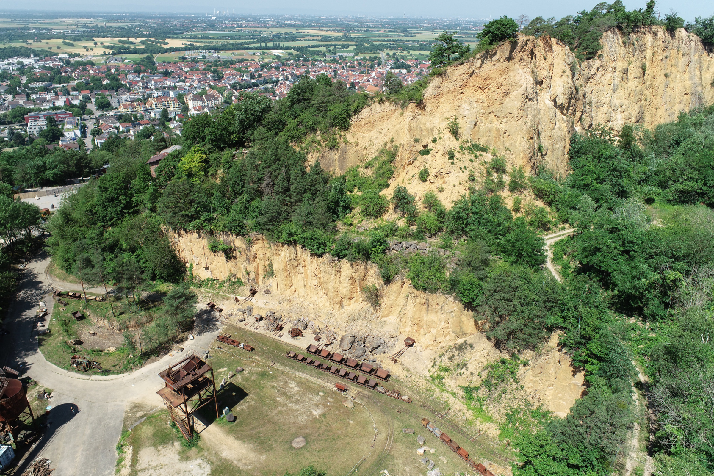
In June 2025, Ronald Tabernig and Hannah Weiser, researchers in the 3DGeo Research Group (Prof. Bernhard Höfle), held the annual 3D sensor practical, a two-day practical field course which took place in two exciting study sites close to Heidelberg: Our students learnt: Since we surveyed the same study sites last year, students will be able…
-
3D data acquisition in the Ötztal Alps – Exploring 3D GIScience on the “Monster of Rock”
As part of the practical field training “3D Geodatenerfassung im Hochgebirge (Ötztal), 31 July – 06 August”, the rock glacier “Äußeres Hochebenenkar” (42 ha), located in the Ötztal Alps in an elevation of 2,630-2,800 m a.s.l., was explored by 16 students under the direction of Bernhard Höfle, Stefan Hecht and Martin Hämmerle. With the help…


