

Search results for: “mapswipe”
-
Presentation and Demo Session on MapSwipe Analytics at MSF Scientific Days London
MSF Scientific Days is a conference organised by Doctors Without Borders (MSF) with a focus on research and innovation towards improving humanitarian actions. This years conference was held from May 19-20 at the Royal Society of Medicine in London and brought together more than 200 people. The presentations covered different aspects of medical treatment, but…
-
10 Million Contributions: It’s time for MapSwipe Analytics!
The MapSwipe App is widely used by many volunteers who donate their time and brain capacity to find buildings or roads on satellite imagery. Just recently we counted the 10,000,000th contribution! After only 6 months since MapSwipe was launched! The outcome of these efforts are mainly used by humanitarian organisations like MSF, Netherlands Red Cross…
-
MapSwipe2HOT_Tasking_Manager is OSM_Wiki “Image of the Week”
This week’s “OSM Wiki “Image of the Week”” shows two maps from our efforts to use MapSwipe data for defining and prioritising OSM Hot Tasking Manager tasks. We appreciate the recognition 🙂 The workflow and respective tools have been introduced recently and are based on the “Heidelberg Process“, that lead to the development of MapSwipe…
-
Integrating MapSwipe and HOT Tasking Manager
The MapSwipe app allows you to mark buildings and roads on satellite imagery within just a few seconds by tapping on your smartphone. Thousands of volunteers contributed to MapSwipe so far and it is just incredible how big the areas are that have been scanned (also see : With one swipe or tap you put…
-
HOT Summit MapSwipe and Pybossa Video Online
The presentations of this years HOT summit that was held in Brussels (September 22, 2016) were recorded and are now available in the Youtube channel of HOT, the Humanitarian OpenStreetMap Team. If you missed the summit and are interested in what we are doing, have a look at the video of the joint presentation of…
-
MapSwipe App for humanitarian mapping featured in Product Hunt today
today MapSwipe is featured in “Product Hunt”, a kind of reddit for products. https://www.producthunt.com/tech/mapswipe Learn more about the smartphone App that helps you to put a family on the map. It is so simple even children can use it but helps humanitarian organisations like the Red Cross and Doctors without Borders to better plan and…
-

HeiGIT at the Global Dialogue Platform Berlin
Stuntmen, jugglers, humanitarians stacking and climbing boxes, wildcard sessions – not the usual things you would expect at a conference. But all of these shaped this year’s Global Dialogue Platform and helped participants to leave their usual comfort zones. In dynamic discussions, interactive workshops, plenaries and side sessions, humanitarian practitioners, policymakers, tech experts and many…
-
World Humanitarian Day – How Maps can Help Aid Workers
August 19th marks World Humanitarian Day (WHD) to recognize the efforts of humanitarian workers and to advocate for the survival, well-being and dignity of people affected by crises, and for the safety and security of aid workers. One of many factors that are essential for effective humanitarian response and the security of people on site…
-
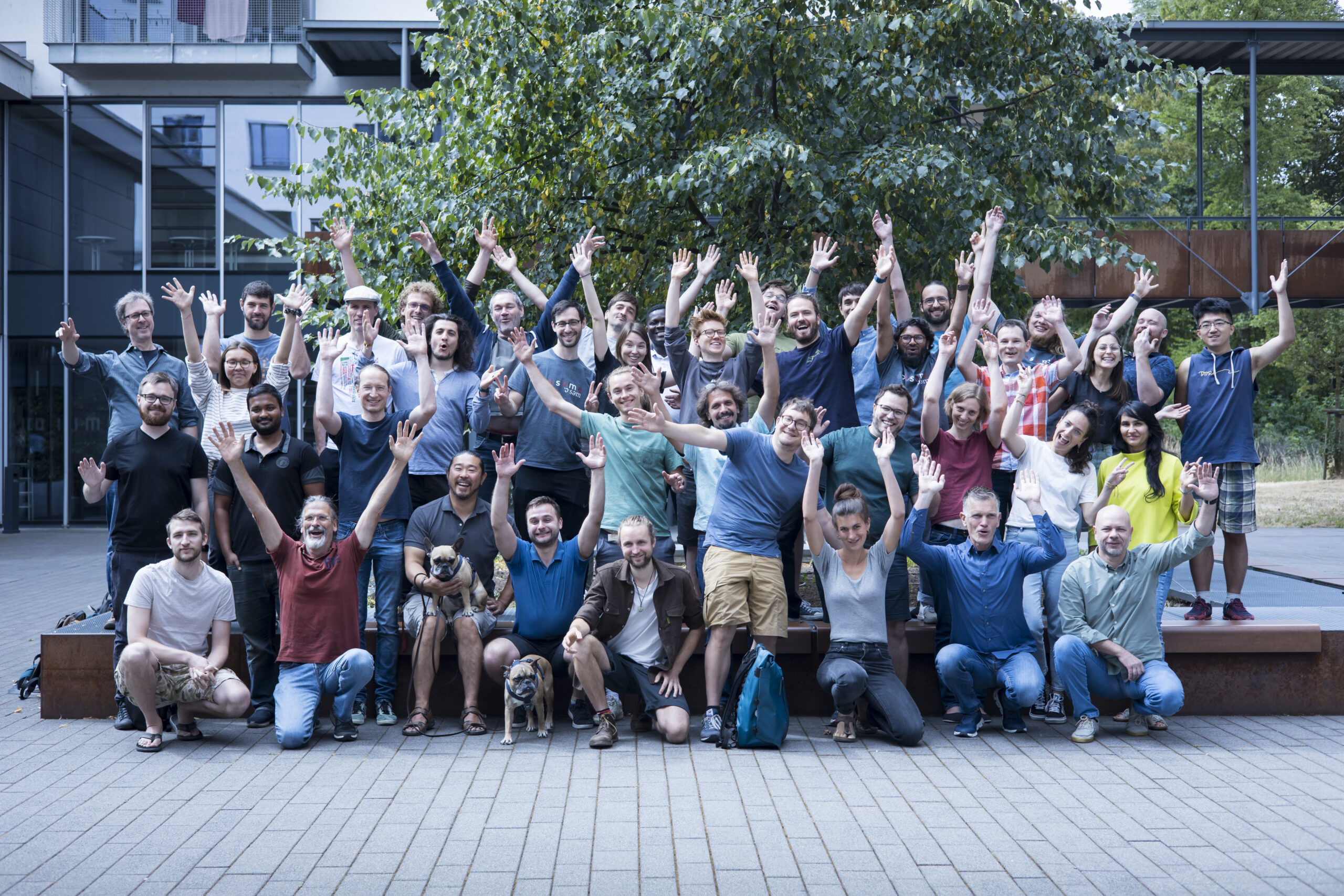
HeiGIT’s 5 Years Milestone: Looking Back at our Achievements
HeiGIT is celebrating its fifth anniversary today, July 1st! To commemorate this occasion, we invite you to join us on a little walk down memory lane. As we reflect on our achievements and the milestones we have reached, we want to express our deepest gratitude to the partners, projects and people that have made our…
-
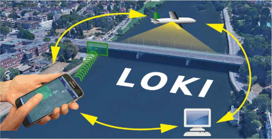
The LOKI Project: Rapid Earthquake Damage Assessment
In the aftermath of earthquakes, rapid and accurate assessment of infrastructure damage is crucial. The LOKI project (Airborne Observation of Critical Infrastructures), funded by the Federal Ministry for Education and Research and active from January 1, 2020, to March 31, 2023, aimed to tackle this challenge. Bringing together expertise from diverse research fields including earthquake…
-
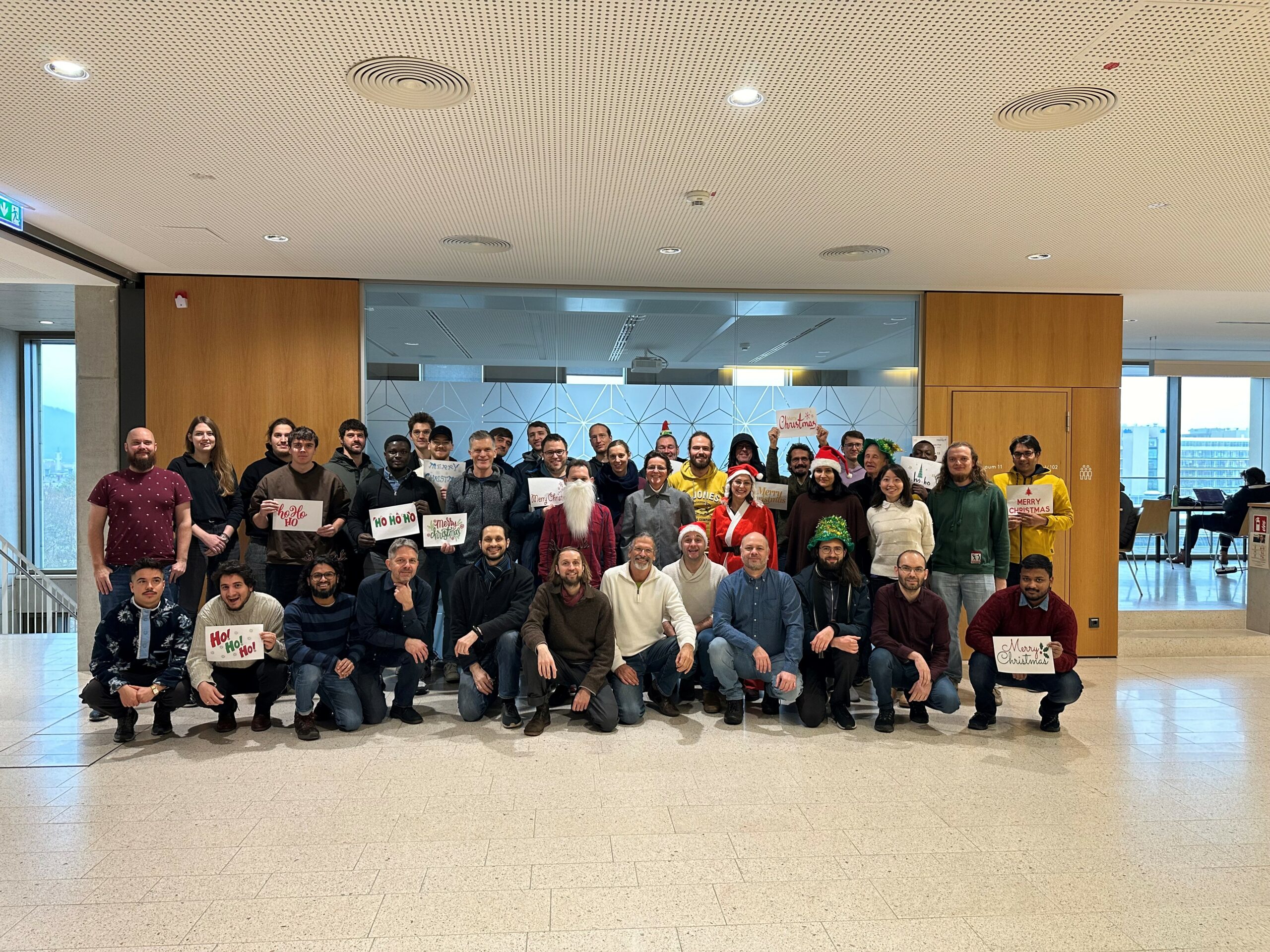
The Year 2023 at HeiGIT
As 2023 is coming to an end, we would like to take the opportunity to look back at this eventful year and appreciate the advance that HeiGIT has made towards its goal of enabling and improving the transfer of knowledge and technology. Thanks to the collective efforts of each team member and the GIScience community,…
-
HeiGIT and GIScience at AGILE 2023
Earlier this month, the Association of Geographic Information Laboratories in Europe (AGILE) held its 2023 conference, and GIScience and HeiGIT team members contributed presentations, analyses and papers toward this year’s theme of “Spatial data for design.” At the conference’s host university Delft University of Technology (TU Delft) in the Netherlands, the team members contributed work uniting design…