

Category: Events
-
HeiGIT at State of the Map Europe
The conference brings together experts, developers, and enthusiasts of open data for two days of talks, workshops, and discussions. HeiGIT will contribute with several different sessions covering a range of topics. “Goodbye OSHDB – Welcome ohsomeDB!” – Benjamin Herfort Friday, November 14, 11:00 AM We will introduce ohsomeDB, the new successor of the OpenStreetMap History…
-
HeiGIT at State of the Map World
State of the Map World is the annual event for all mappers and OpenStreetMap users. The program consists of talks, workshops, discussion rounds and more. HeiGIT is taking part with three different contributions. ORS-Tools – Beginner-friendly Mobility Analysis with OpenStreetMap and openrouteservice in QGIS – Julian Psotta, Benjamin Herfort Friday, 11:30 (60 minutes (plus Q&A)); Room:…
-
HeiGIT at Walk21
The 25th International Walk21 Conference on Walking and Livable Communities will take place from 6 – 10 October in Tirana, hosted by the Municipality of Tirana in partnership with GIZ Albania.
-
3D Sensor Practical
In June 2025, Ronald Tabernig and Hannah Weiser, researchers in the 3DGeo Research Group (Prof. Bernhard Höfle), held the annual 3D sensor practical, a two-day practical field course which took place in two exciting study sites close to Heidelberg: Our students learnt: Since we surveyed the same study sites last year, students will be able…
-
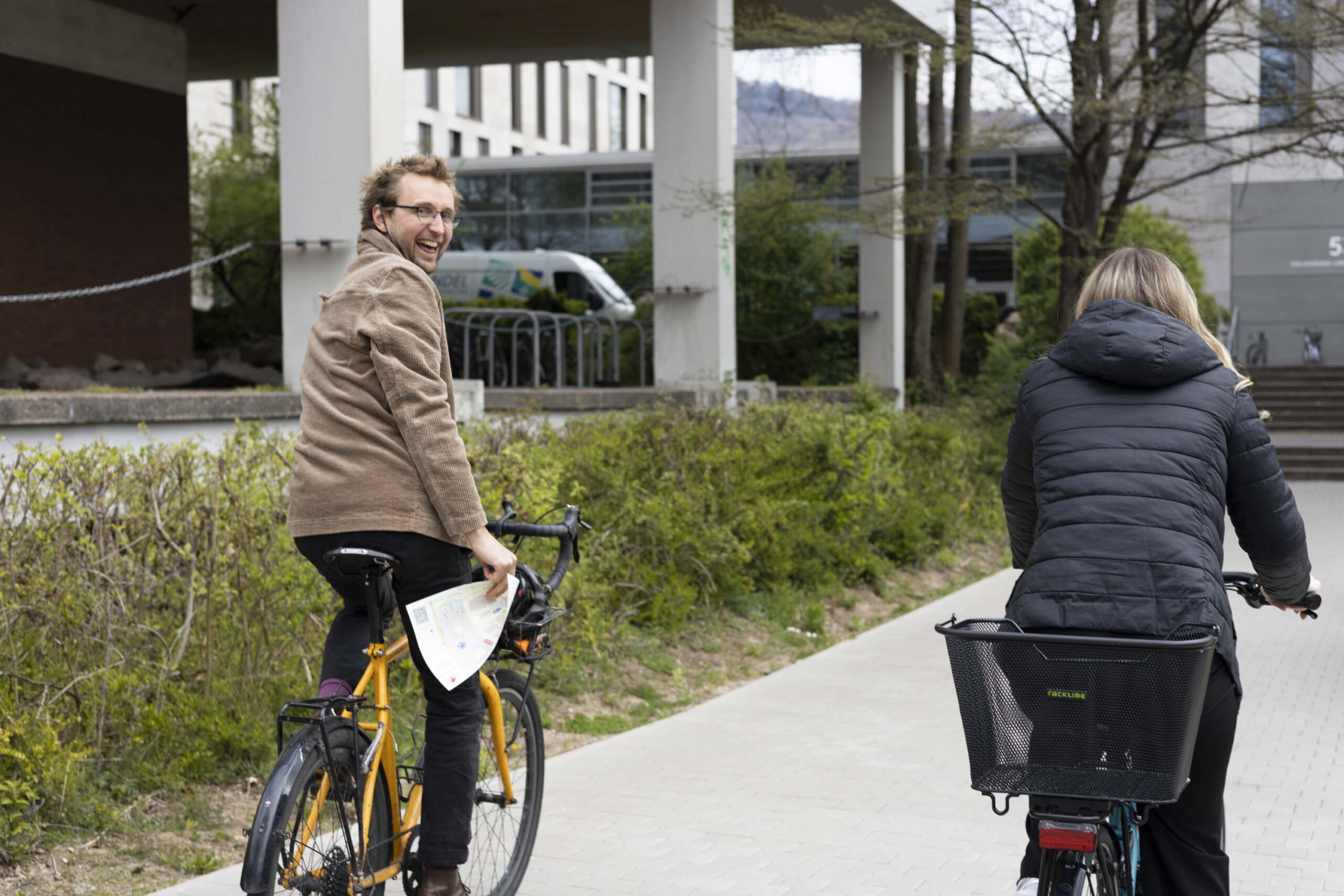
HeiGIT and GIScience take part in STADTRADELN
This year, the team from HeiGIT is once again participating in the nationwide cycling initiative STADTRADELN. For 21 days, teams across Germany collect bicycle kilometers, raising awareness for climate protection, sustainable mobility, and improved cycling infrastructure. The campaign promotes environmentally friendly transportation – not only in the everyday lives of the participants but also as…
-
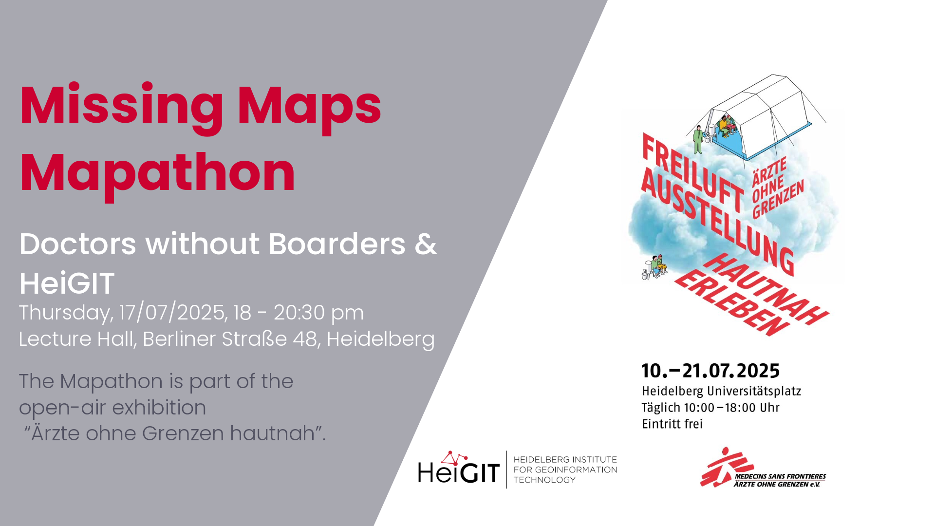
Mapathon with Doctors without Boarders
The lack of geographical data makes providing humanitarian aid more difficult. This is particularly the case in situations of disaster, when geographical data and routing data are crucial for coordinating help. In certain regions, however, this data still remains incomplete. During Mapathons, volunteers map these areas and provide the missing data. As part of this…
-
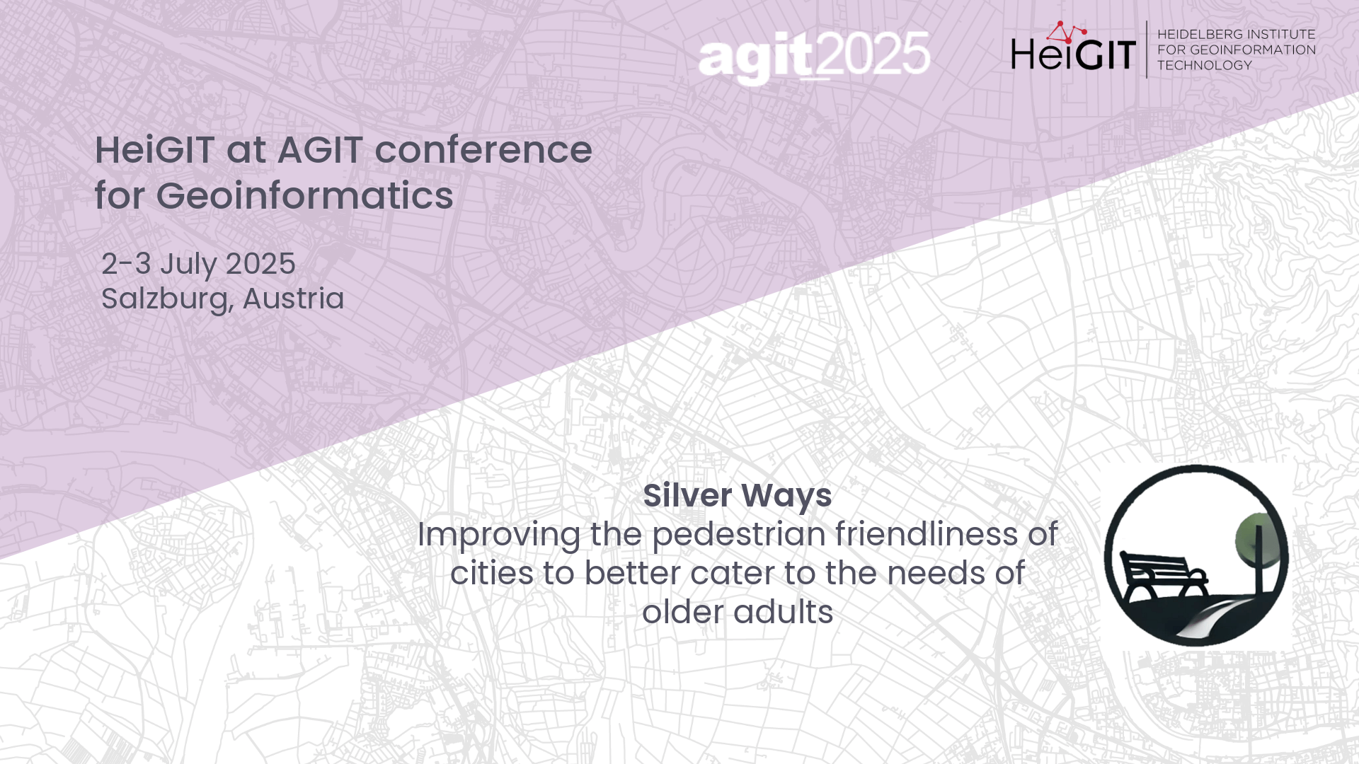
Presenting Silver Ways project at AGIT
At this year’s AGIT conference in Salzburg, Austria, GIScience and HeiGIT will host a poster session to our new Silver Ways project, developing a walkable routing system to cater the needs of older adults.
-
HGG lecture: Vietnam – Between Coffee and Karst
This HGG lecture is given by students from the Institute of Geography at Heidelberg University who participated in the Vietnam excursion.
-
HeiGIT at QGIS User Conference
HeiGIT will present two sessions on openrouteservice. ORSTools – using a global routing engine directly from QGIS Monday, June 2 2025, 16:30–17:00 (Europe/Stockholm), Statisten Getting from A to B fast and efficiently is central to mobility analysis and requires both road network data and a route calculation algorithm capable of using it. This session introduces…
-
Mapathon – Silver Ways Project
This time, we will map smoothness and surface tags within the Mannheim area. This mapping effort will contribute to delivering the data needed for our ongoing Silverways project. Silver Ways is a project aiming to improve the mobility of senior citizens by developing an empirically informed and validated routing system tailored to their needs. The…
-
HGG lecture – Why do tree lines exist?
The second HGG lecture of this semester answers the question of why tree borders exist and how climate change influences them.
-

3DGeo April Recap: Conferences
It was an exciting month for the 3DGeo research group in April. Three major conferences took place: Let’s give you some impressions below! JISDM The Joint International Symposium on Deformation Monitoring (JISDM) brings together experts on deformation monitoring from a range of fields such as photogrammetry, remote sensing and of course geodesy. It is a…