Category: Allgemein
-
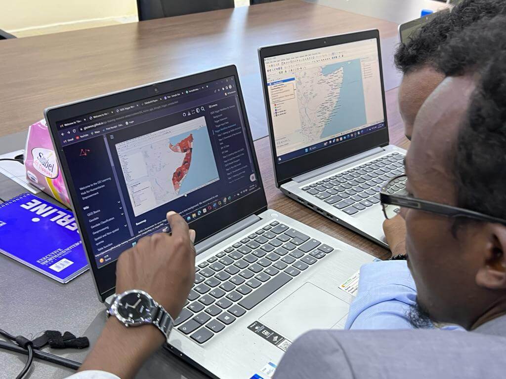
Unleashing the Power of GIS, Together: The IFRC Network GIS Training Platform
This article was originally published on the website of 510, the data and digital unit of The Netherlands Red Cross: Unleashing the Power of GIS, Together: The IFRC Network GIS Training Platform – 510 The Red Cross Red Crescent Movement has long channelled innovation to enhance humanitarian efforts. A shining example of this is the…
-
openrouteservice: key statistics and insights for 2024
HeiGIT has released the 2024 key statistics and numbers of openrouteservice. It demonstrates a significant increase in new users compared to the previous year. Specifically, there has been an increase of approximately 39% in new users since 2023, with a particularly notable rise in collaborative users. The number has increased by around 270%, compared to…
-

In their words: voices of women in science
Today, on February 11th, together with the International Day of Women and Girls in Science, we are celebrating women and girls in science, technology, engineering, and mathematics (STEM). Established by the United Nations, this day underscores the need for gender equality in scientific fields and recognizes the contributions of women scientists around the world. Despite…
-
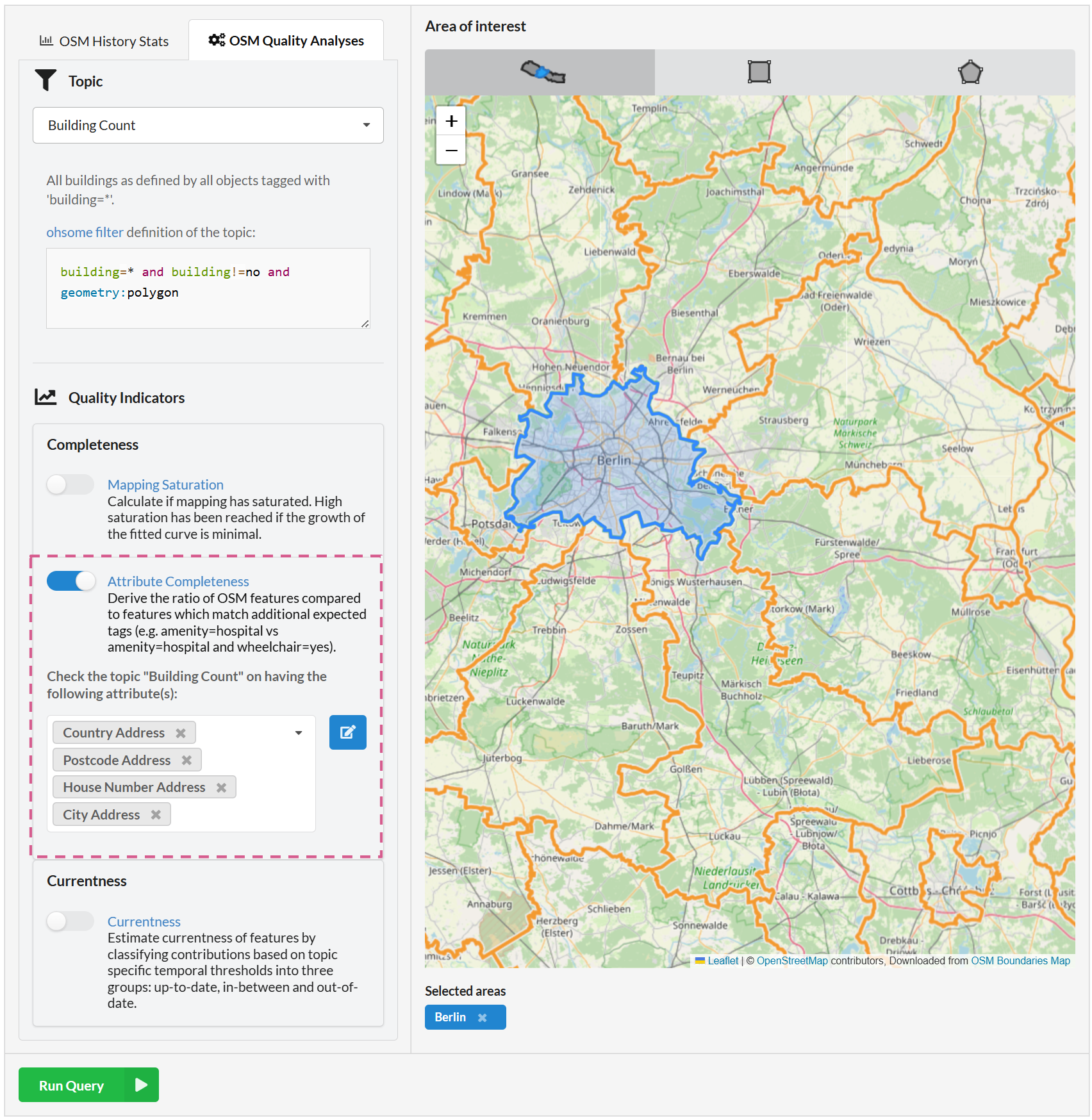
Ohsome Quality API enhancements for the attribute completeness indicator
Fig. 1: New feature: combining attributes We recently added the attribute completeness indicator to the Ohsome Dashboard, and we’re now happy to introduce major upgrades to its functionalities. The ohsome quality API (OQAPI) and the ohsome dashboard The ohsome quality API was built to provide data quality estimations for OpenStreetMap data. There are currently four…
-
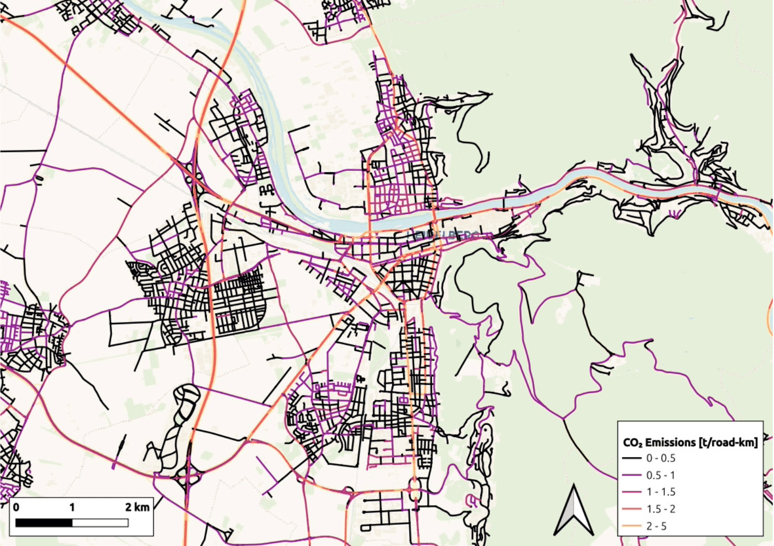
High-resolution maps of carbon dioxide emissions
Road traffic and residential heating are the two main sources of CO₂ emissions in many cities. HeiGIT´s new emission inventories map these emissions and can simulate the effects of new policies and interventions. We calculated how emissions would change in Heidelberg, Germany, if we introduced a 30 km/h road speed limit and replaced oil and…
-
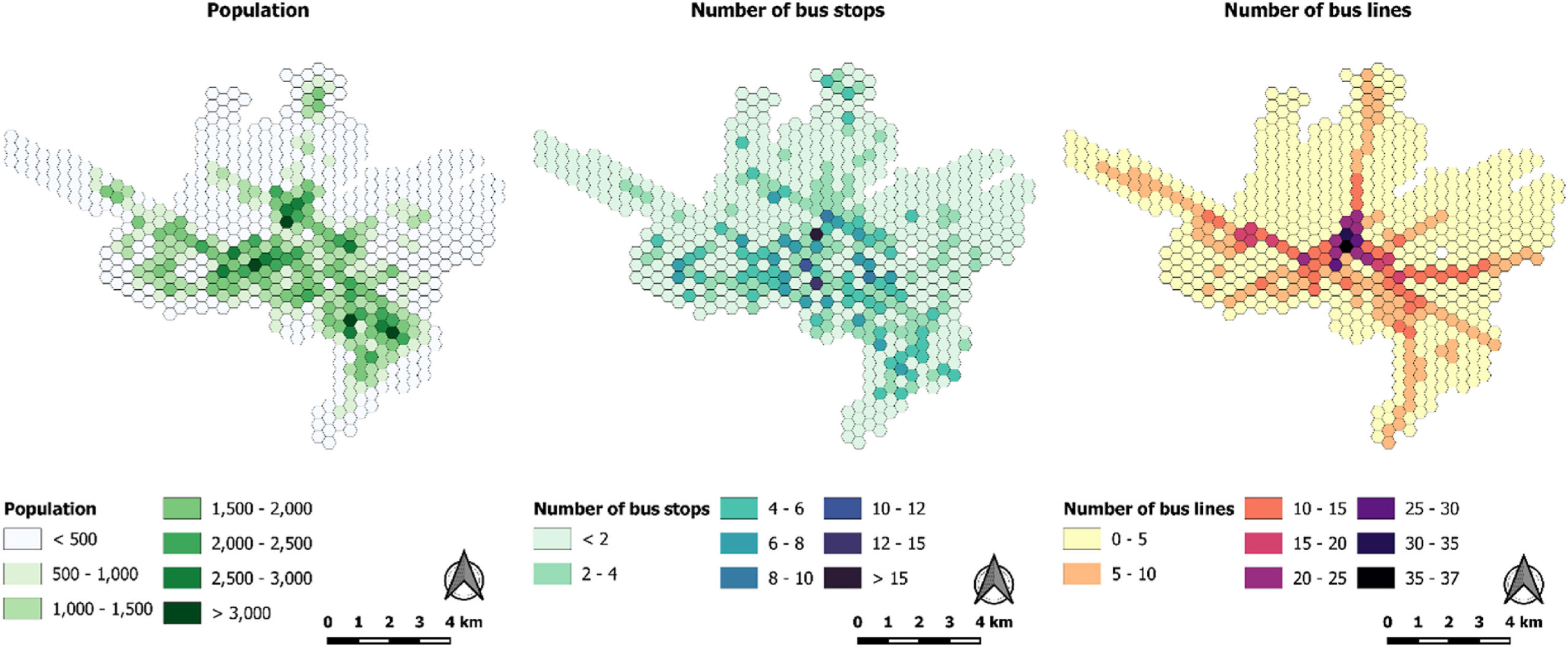
New Paper “Evaluation of accessibility disparities in urban areas during disruptive events based on transit real data”
Studies have long assessed people’s accessibility to amenities through public transportation, typically using General Transit Feed Specification (GTFS) data. GTFS reflects planned transportation schedules, detailing the intended services and routes of transit systems. However, this approach raises an important question: are we missing critical insights by not incorporating real-time information? A recent study led by…
-
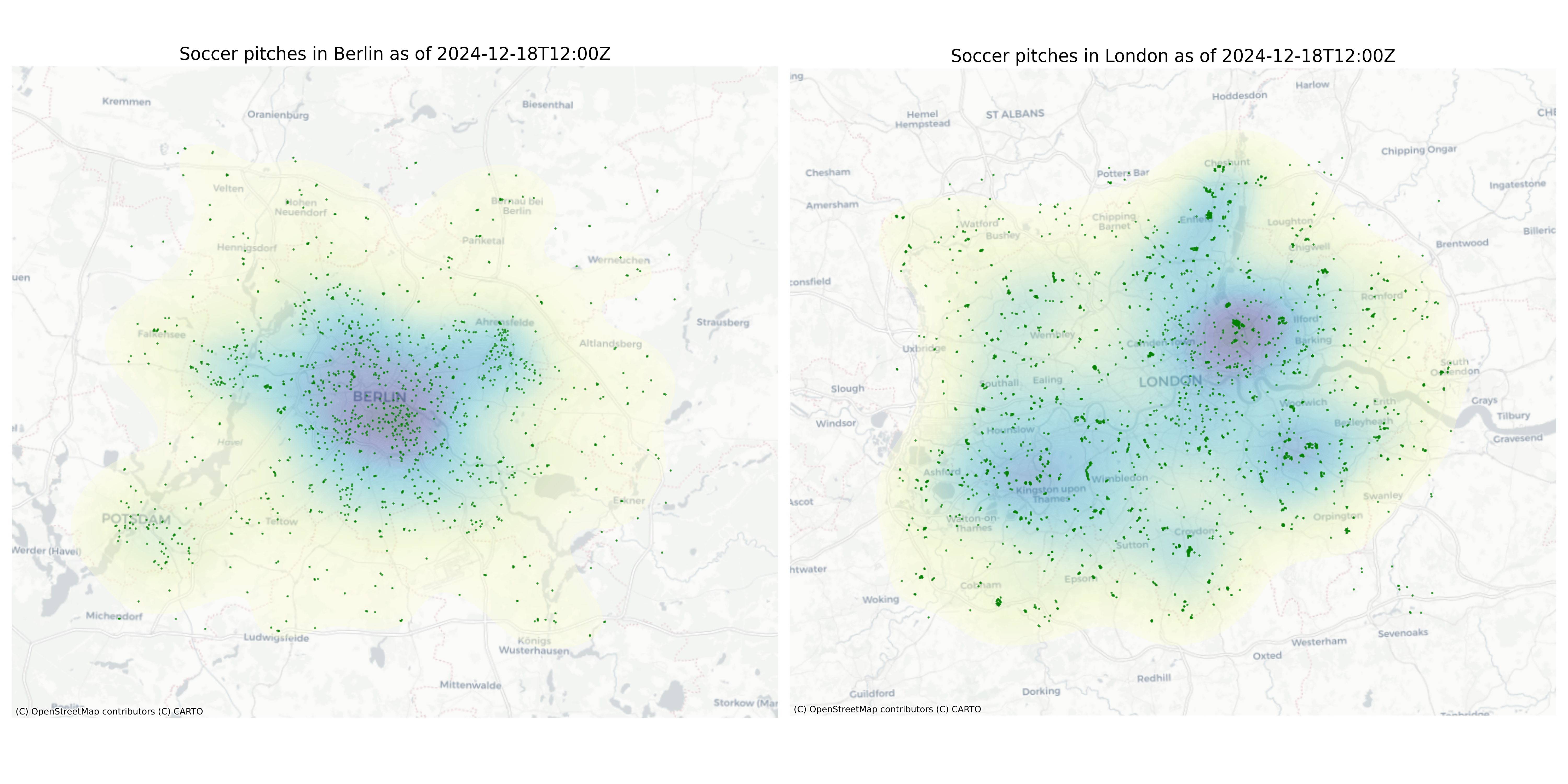
ohsome-py 4.0.0
The ohsome-py Python package is a client for the ohsome API, designed to facilitate the extraction and analysis of historical OpenStreetMap (OSM) data. The package simplifies handling API requests and responses by converting them into pandas or GeoPandas data frames, making data analysis and visualization easier. With ohsome-py, you gain all the functionalities of the…
-
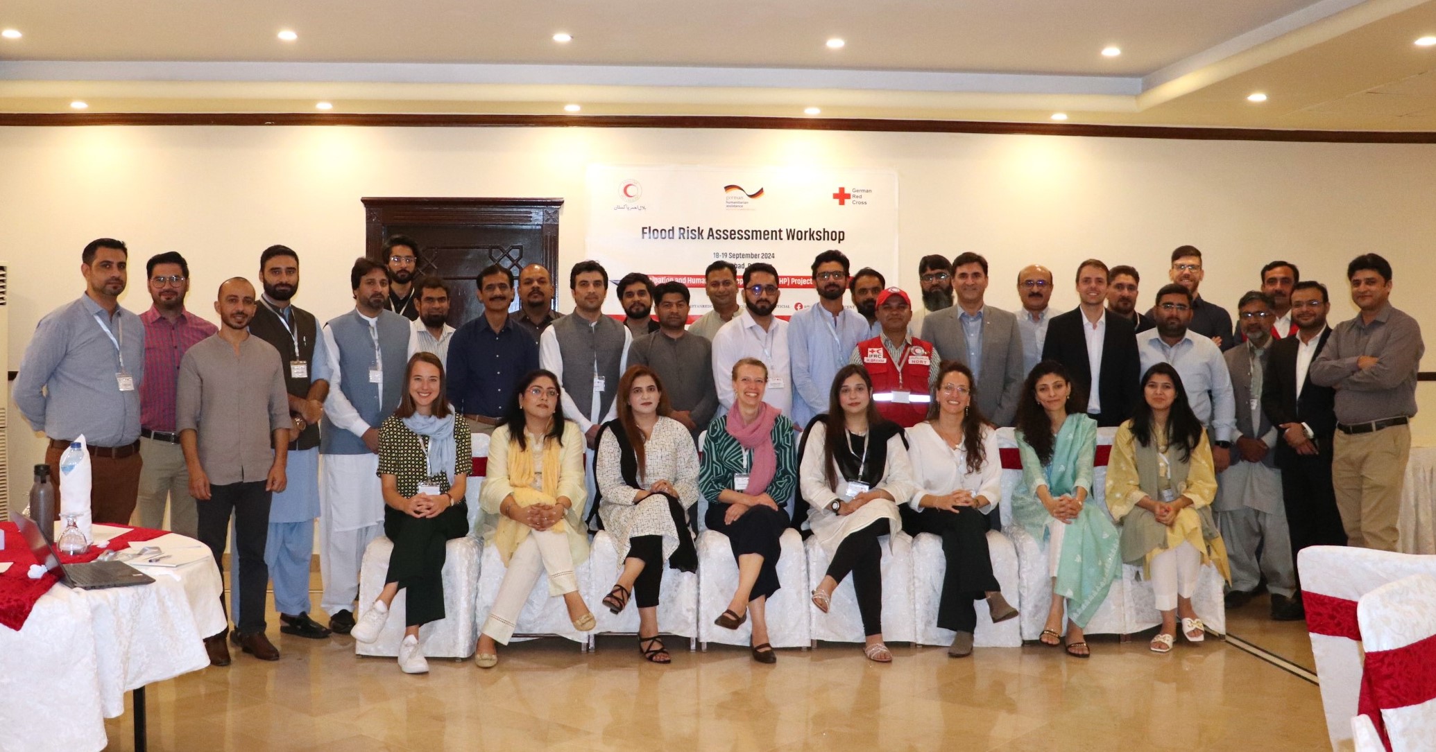
Acting Before the Disaster Happens: QGIS Training and Risk Assessment for Riverine Floods in Pakistan
In the field of humanitarian aid, Anticipatory Action (AA) is emerging as an important strategy to mitigate the impacts of natural disasters. At HeiGIT, we have been actively working with this approach to support local communities in building resilience. Unlike traditional reactive responses, AA aims to initiate predefined actions based on weather forecasts and risk…
-

The Year 2024 at HeiGIT
With 2024 drawing to a close, we reflect on a year filled with events, accomplishments and opportunities to make a positive impact. Halfway through the year, we celebrated HeiGIT’s fifth anniversary—a moment to appreciate how far we’ve come and everything we’ve accomplished together. From our early days to the milestones of 2024, our growth sets…
-
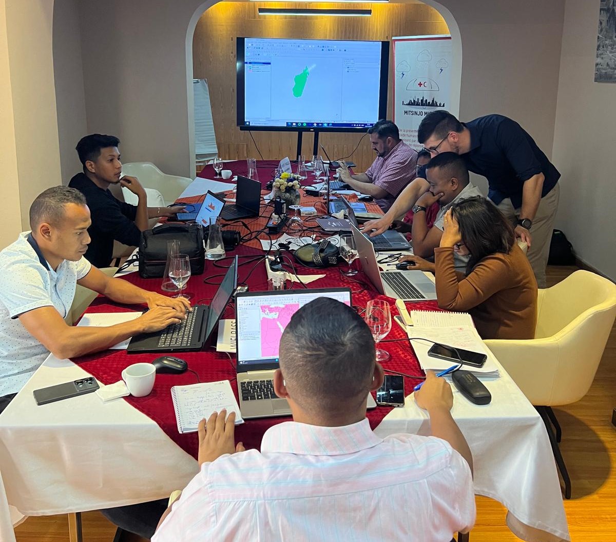
Acting Before the Disaster Happens: a Risk Assessment for Cyclones in Madagascar
Anticipatory Action for Disaster Management In the field of humanitarian aid, Anticipatory Action (AA) is emerging as an important strategy to mitigate the impact of hazards. Anticipatory Action is an innovative mechanism that intends to make humanitarian resources available before the disaster happens, based on prior data-driven forecasts and risk assessments. This approach seeks to…
-

GeoAI4Water III Thailand
In times of natural disasters and other emergencies, access to reliable data on critical infrastructure can mean the difference between a swift recovery and prolonged crisis. Building on the success of previous initiatives, the GeoAI4Water III project is taking a step forward by developing a comprehensive dataset of Wastewater Treatment Plants (WTPs) across Thailand. This…
-
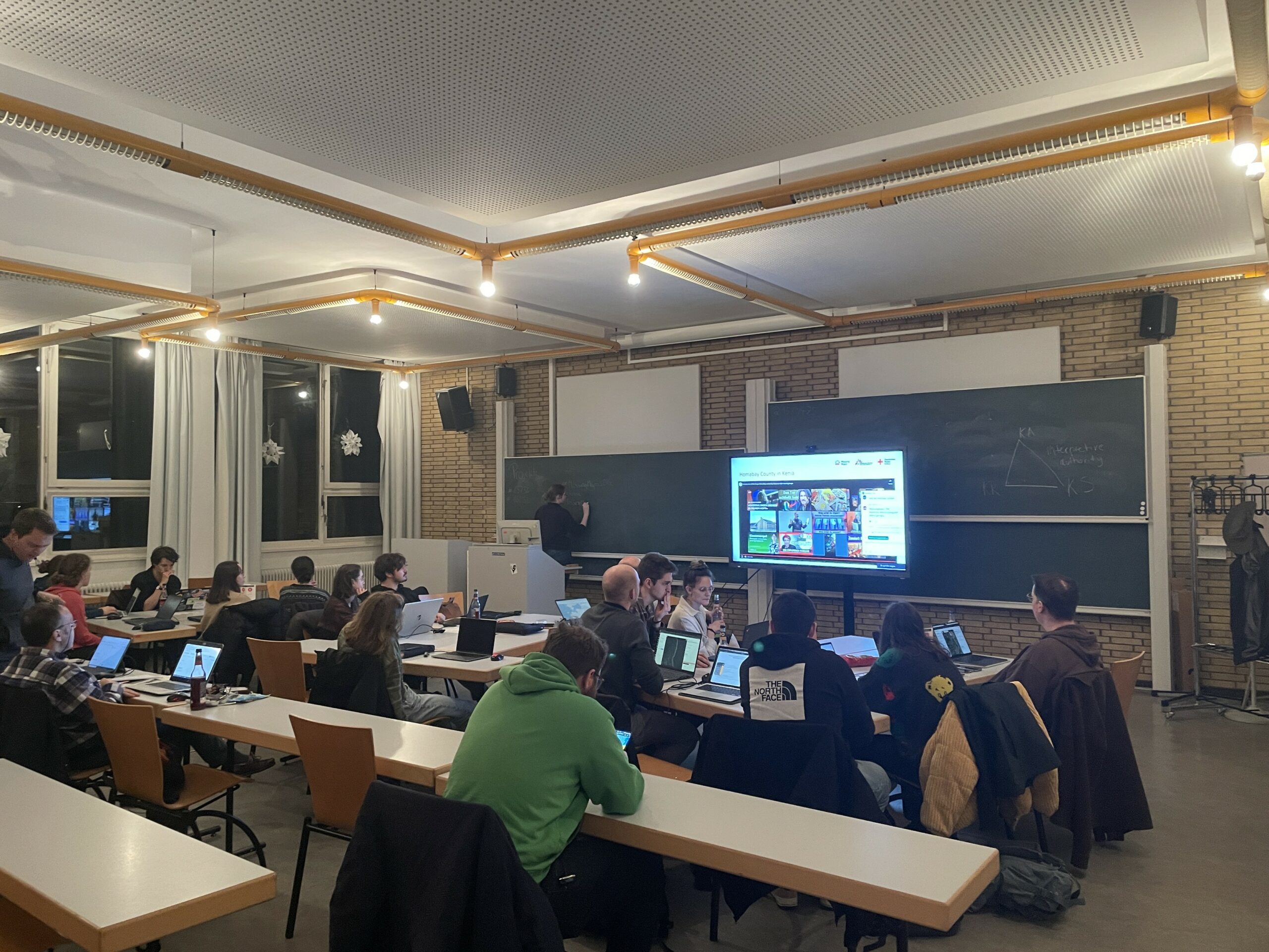
Mapathon on November 18
As part of the annual “Geography Awareness Week”, we are organizing a mapathon together with Doctors Without Borders, the German Red Cross and the University of Würzburg. When: Monday, November 18th, 7p.m. Where: Heidelberg, Berliner Straße 48 in the “Hörsaal” lecture hall What is a Mapathon?In order to be able to help people in crisis…


