

Author: Elena Gross
-
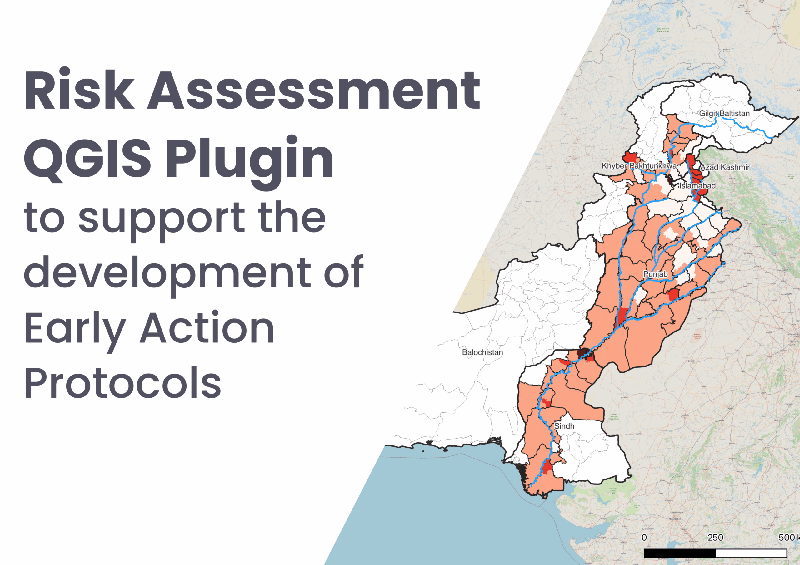
Risk Assessment QGIS Plugin to support the development of Early Action Protocols
As part of our ongoing work in Anticipatory Action, a QGIS plugin for risk assessments was developed with the goal of enabling local actors to carry out risk assessments independently and reliably. The tool builds on HeiGIT’s broader efforts to support community resilience by making geoinformation technology more accessible to practitioners in diverse operational contexts.…
-
Call for papers: VGI and Remote Sensing for Sustainable and Climate-Resilient Environments
Geospatial technologies offer significant opportunities to address sustainability and resilience challenges by integrating Volunteered Geographic Information (VGI) and remote sensing with environmental science to tackle critical climate-related issues. With the accelerating impacts of rising global temperatures and extreme weather events, communities face increasing demands to manage vital resources, including water, energy, and land. The combined…
-
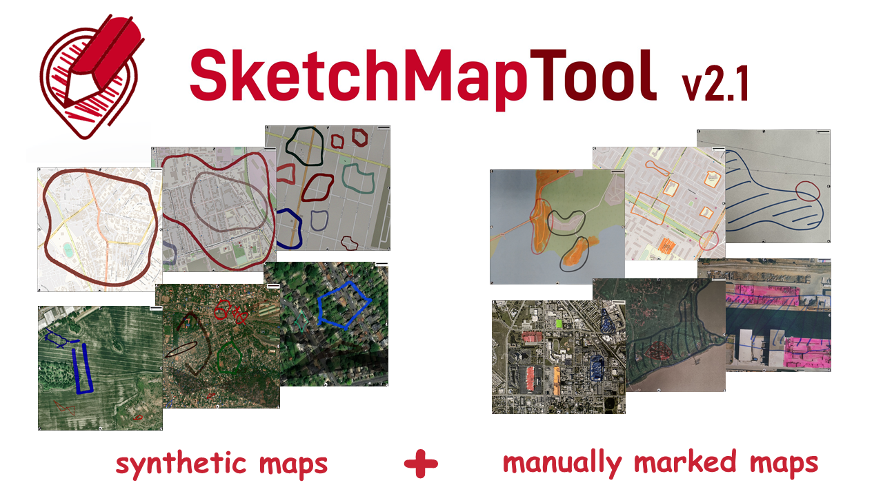
Digitizing Maps with SketchMapTool v2.1: Enhanced Sketch Detection and Global Impact
The newly released Sketch Map Tool v2.1 features a higher accuracy in digitizing hand-sketched markings on Sketch Maps, thanks to a larger training dataset and an updated machine learning model for sketch detection. New user metrics show that thousands of Sketch Maps are created every month all over the world. The Sketch Map Tool The…
-
HeiGIT International Postdoctoral Fellowships for GIScience Research
Dear Postdoctoral Scholars and Researchers, You are a highly motivated researcher who loves spatial data science and open geodata? You want to use your expertise for stimulating Climate Action? You want to improve the availability and quality of open geographic information for Climate Mitigation and Adaptation and develop high-resolution spatial indicators or GIScience methods for…
-
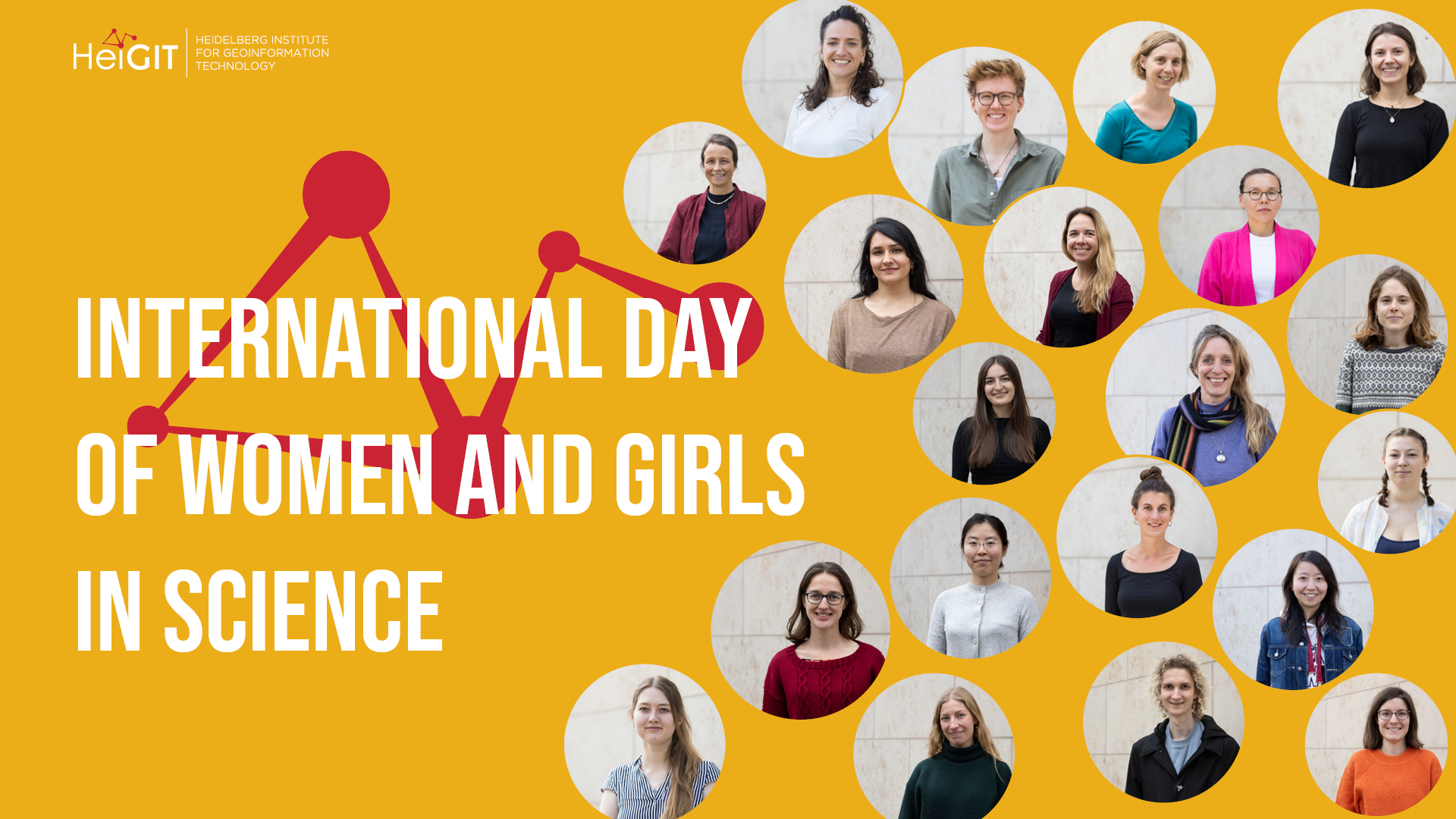
In their words: voices of women in science
Today, on February 11th, together with the International Day of Women and Girls in Science, we are celebrating women and girls in science, technology, engineering, and mathematics (STEM). Established by the United Nations, this day underscores the need for gender equality in scientific fields and recognizes the contributions of women scientists around the world. Despite…
-
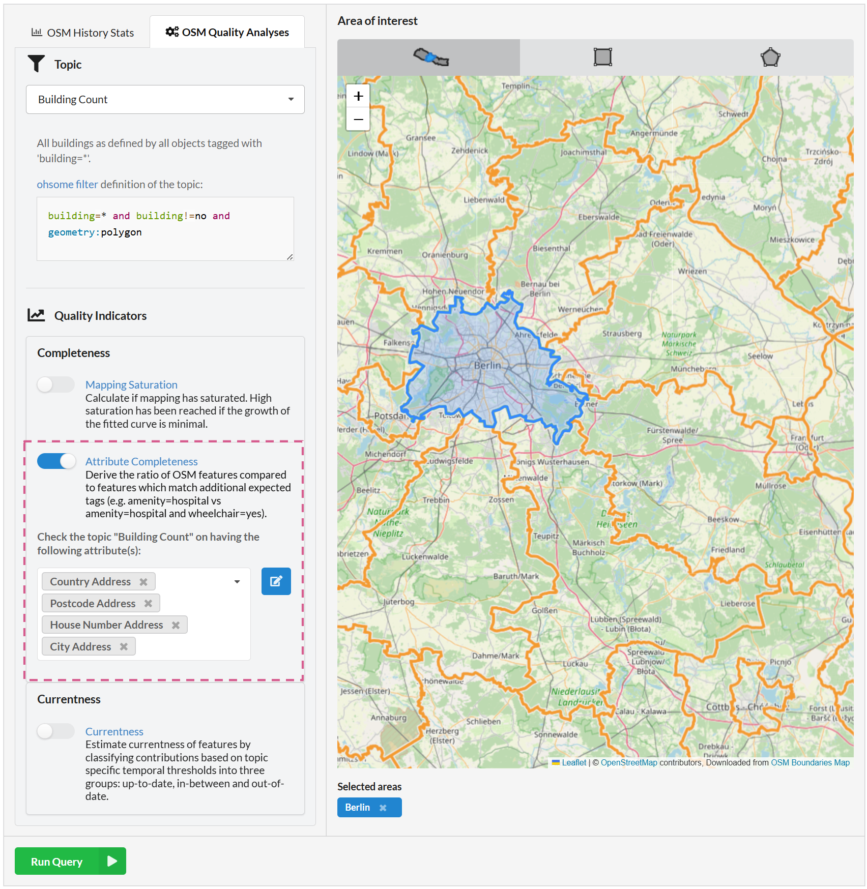
Ohsome Quality API enhancements for the attribute completeness indicator
Fig. 1: New feature: combining attributes We recently added the attribute completeness indicator to the Ohsome Dashboard, and we’re now happy to introduce major upgrades to its functionalities. The ohsome quality API (OQAPI) and the ohsome dashboard The ohsome quality API was built to provide data quality estimations for OpenStreetMap data. There are currently four…
-
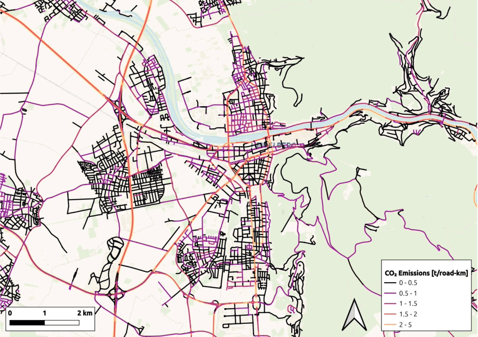
High-resolution maps of carbon dioxide emissions
Road traffic and residential heating are the two main sources of CO₂ emissions in many cities. HeiGIT´s new emission inventories map these emissions and can simulate the effects of new policies and interventions. We calculated how emissions would change in Heidelberg, Germany, if we introduced a 30 km/h road speed limit and replaced oil and…
-
ohsome-py 4.0.0
The ohsome-py Python package is a client for the ohsome API, designed to facilitate the extraction and analysis of historical OpenStreetMap (OSM) data. The package simplifies handling API requests and responses by converting them into pandas or GeoPandas data frames, making data analysis and visualization easier. With ohsome-py, you gain all the functionalities of the…
-
The Year 2024 at HeiGIT
With 2024 drawing to a close, we reflect on a year filled with events, accomplishments and opportunities to make a positive impact. Halfway through the year, we celebrated HeiGIT’s fifth anniversary—a moment to appreciate how far we’ve come and everything we’ve accomplished together. From our early days to the milestones of 2024, our growth sets…
-
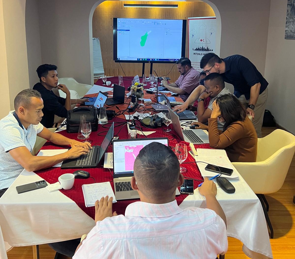
Acting Before the Disaster Happens: a Risk Assessment for Cyclones in Madagascar
Anticipatory Action for Disaster Management In the field of humanitarian aid, Anticipatory Action (AA) is emerging as an important strategy to mitigate the impact of hazards. Anticipatory Action is an innovative mechanism that intends to make humanitarian resources available before the disaster happens, based on prior data-driven forecasts and risk assessments. This approach seeks to…
-
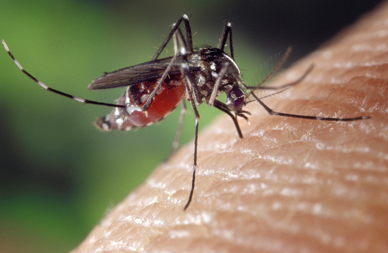
Public lecture on “Habitat-Scale Environmental Suitability Mapping for Aedes aegypti”
On December 18, 2024, GIScience PhD candidate Steffen Knoblauch will present his research on “Habitat-Scale Environmental Suitability Mapping for Aedes aegypti.” The public lecture will take place at 9:00 AM in the Conference Room, 5th Floor, Mathematikon, Im Neuenheimer Feld 205, 69120 Heidelberg, and will be followed by a non-public PhD defense examination. Geoinformatics Research…
-
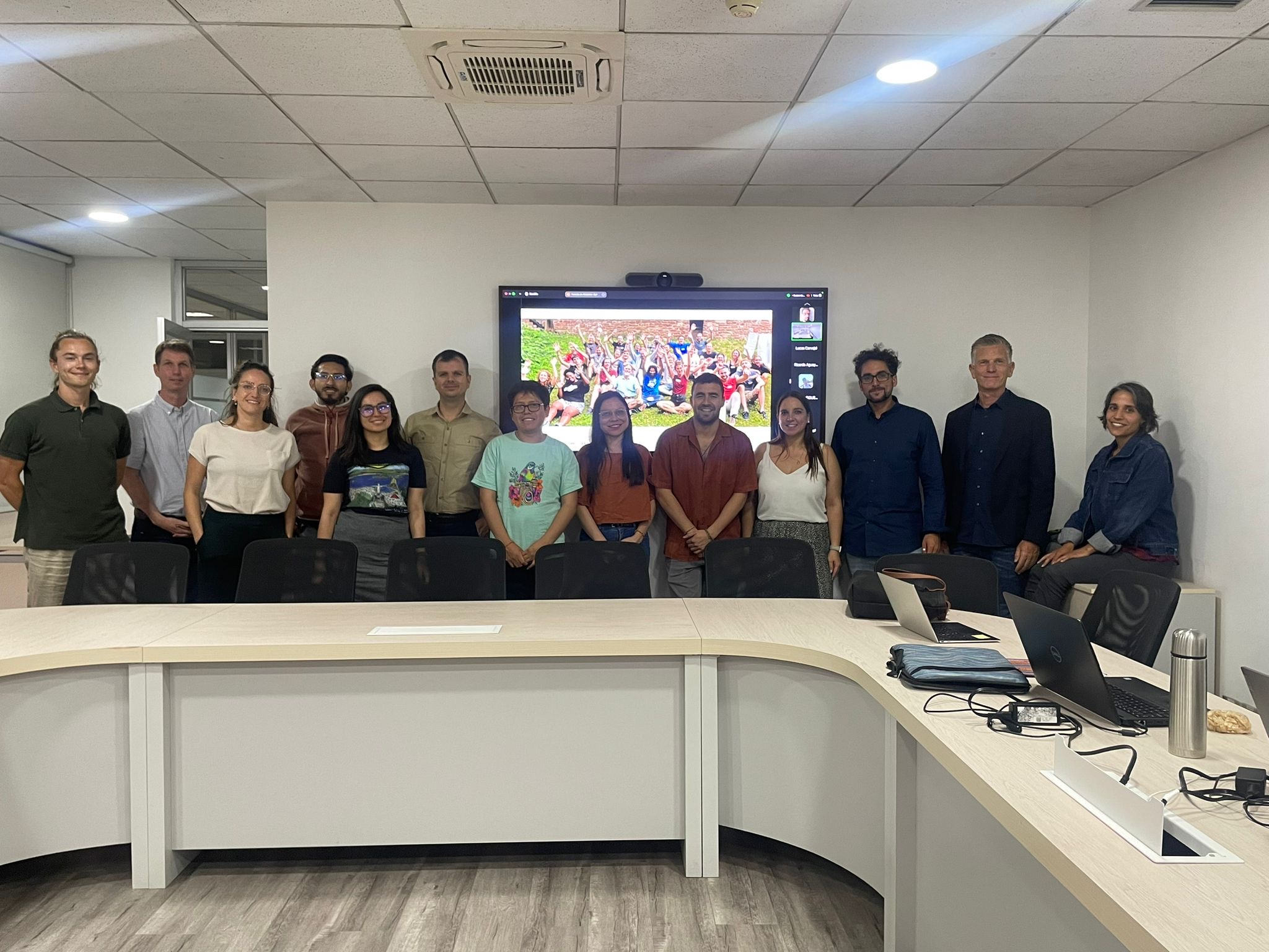
Teaching at Heidelberg Center Latin America in the master program “Governance of Risk and Resources”
Recently, our colleagues traveled to Chile as part of our ongoing collaboration with the Heidelberg Center Latin America. During their visit, they hosted a block course, met with local research institutes, and participated in an alumni meeting for the master’s program “Governance of Risk and Resources” at the Heidelberg Center Latin America. Anne Schauss and…