Anticipatory Action for Disaster Management
In the field of humanitarian aid, Anticipatory Action (AA) is emerging as an important strategy to mitigate the impact of hazards. Anticipatory Action is an innovative mechanism that intends to make humanitarian resources available before the disaster happens, based on prior data-driven forecasts and risk assessments. This approach seeks to optimize resource allocation and ensure timely interventions.
Following this approach, HeiGIT has been closely working with the German Red Cross to support local communities in building resilience.
Risk Assessment for Cyclones in Madagascar
Madagascar is highly exposed to the impact of cyclones every year. Just between 2000–2023, 47 tropical storms and cyclones hit Madagascar, causing severe damages to the country’s infrastructure, economy, housing, and food security.
In our latest Anticipatory Action project, we have been providing technical support to the Malagasy Red Cross in conducting a Risk Assessment on Cyclones in Madagascar, with a focus on accessibility measures and in-person training.
We develop the risk assessment by bringing together HeiGIT´s technical expertise and the local knowledge, following a tailored series of steps. After collecting and assessing all available data, we tackle the existing data gaps to enhance its quality. Then we identify and weight the relevant risk indicators in a workshop with local Red Cross experts. When all information is in place, we calculate the risk score and present the results in a map format. Finally, we hand over the risk assessment on cyclones with all the necessary know-how for the partner organizations to independently update the risk assessment in the future.

GIS Training and Risk Assessment Workshop in Antananarivo
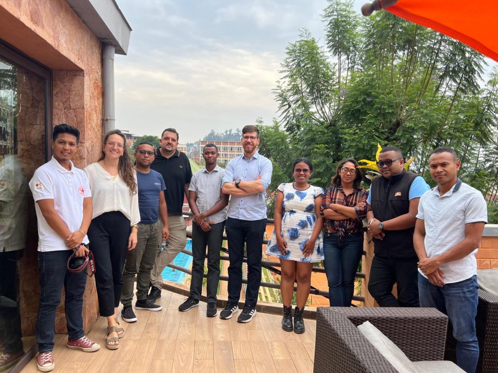
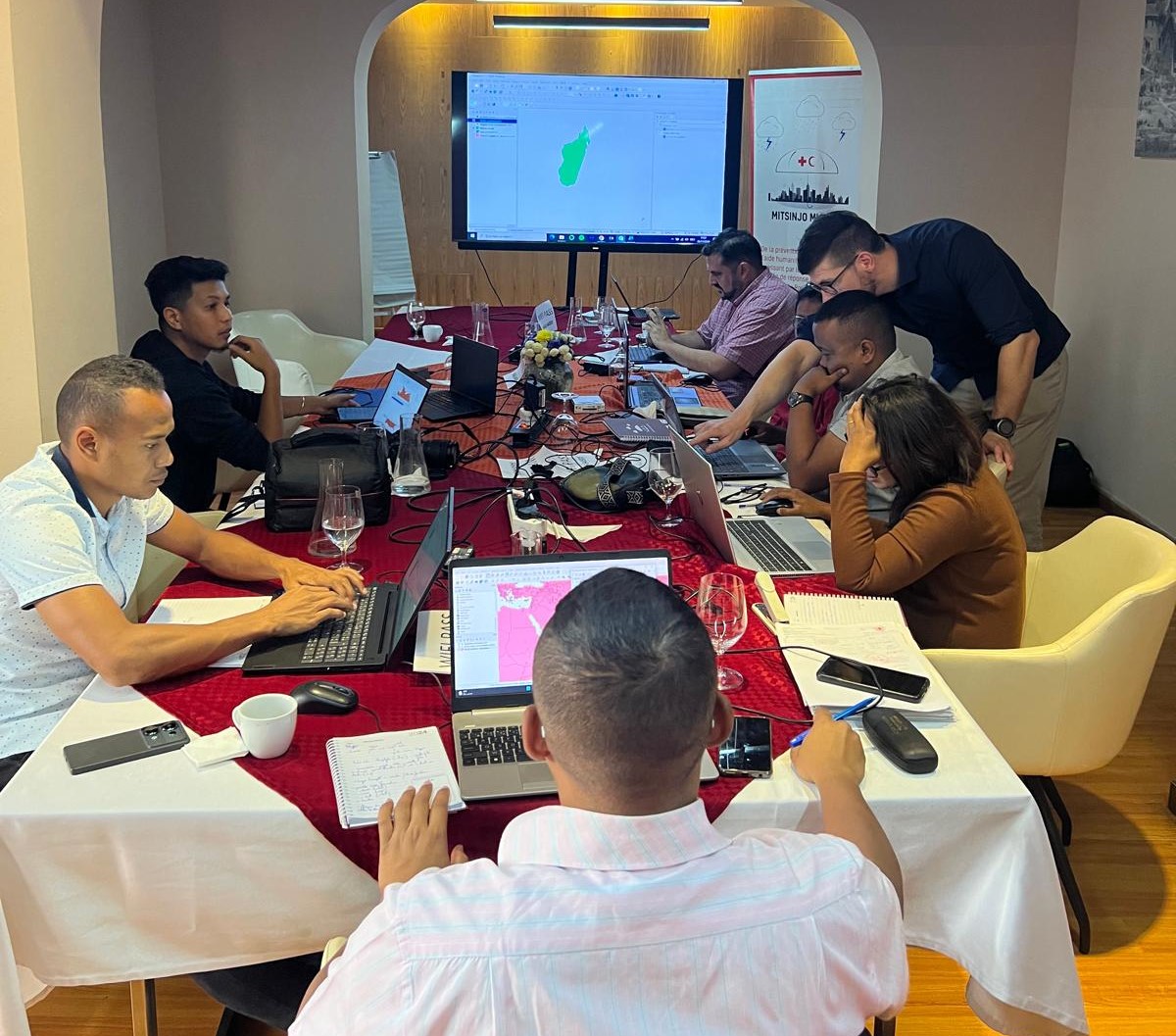
Our team recently traveled to Antananarivo, Madagascar, where we conducted a GIS training course and a workshop on risk assessment in November 2024. This event aimed to strengthen local capacity in disaster risk management and geospatial analysis.
The workshop participants included key staff and representatives from the Malagasy Red Cross, the International Federation of Red Cross and Red Crescent Societies (IFRC) and the Red Cross Red Crescent Climate Center. Our goal was to provide the staff with know-how on how to use maps and other digital tools as instruments in their daily work, and to gather local perspectives on the importance of different indicators related to cyclone risk in Madagascar.
The GIS training course included sessions on geodata processing and visualization with QGIS, an introduction to map making, a practical session on how to digitalize paper maps with the Sketch Map Tool, and a session on how to conduct accessibility analysis with the openrouteservice (ORS) plugin for QGIS.
Moreover, we ran a workshop on cyclone risk assessment. In the workshop, we collaboratively discussed the risks posed by cyclones and gathered valuable input from key experts in the region. The participants evaluated indicators for exposure, vulnerability and coping capacity in Madagascar using the Analytical Hierarchy Process (AHP), a technique to simplify and optimize decision making when multiple criteria and problems need to be taken into account.
The face-to-face exchange with local staff was key in ensuring that our risk assessment is fully in line with the current development of an Early Action Protocol (EAP) for cyclones in Madagascar. The Early Action Protocol is a collaborative effort of the German Red Cross, the Malagasy Red Cross, the Red Cross Red Crescent Climate Center, and HeiGIT. During our time in Antananarivo, we enjoyed plenty of opportunities for exchange on our respective work, and we gained vital insights to further enhance our collaboration while we approach the final steps of the joint development of an Early Action Protocol.

Outlook
The risk assessment for cyclones in Madagascar is the latest of several Anticipatory Action projects we have been working on with the German Red Cross and many other Red Cross or Red Crescent societies. It follows several data analysis and workshops on drought risk and locust risk in Somalia, riverine flood risk in Sudan, and riverine flood risk in Pakistan. We look forward to further strengthening this partnership to keep improving proactive disaster management.
—
To keep up with future developments and releases related to this project as well as other efforts to advance geospatial technology in the mobility, humanitarian aid, climate action, and data analytics areas, follow our social media channels and stay up to date on our blog.


