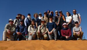
During the first three days of the field course in Erg Chebi, data collection focussed on the star dune with groups of students applying different techniques of geophysical and topographic surveying. Today, data was checked to plan the remaining three field days. A recap of this intermediate data revision will follow. For today, we’d like to reflect this year’s field course in numbers:
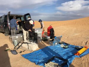
300 m of Electrical Resistivity Tomography transects were laid out across several arms of the dune field; 13 m of boreholes were drilled between the dune arms; 60 km were walked (by the same person!) along and across Erg Chebbi, and thereby 20 kg of sand were collected as samples at over 70 dune crests; in the meantime, 1.6 billion 3D surface measurements of the star dune were captured by terrestrial laser scanning

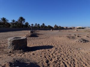
ERT as geophysical measurements continued transects of the first edition of the field course. Of particular interest are the hydrologic characteristics within (i.e. under) the dune field. After visiting the relict Khettara system on the excursiong day, the group encountered a modern installation of this traditional way of water supply at Erg Chebbi, which is used to irrigate the agriculture in the oasis of Hassilabied. The water level accessed with the Khettara system was reached by the depth of boreholes drilled during the field course. These drilling verified the interpretation of geophysical measurements, which show the subsurface stratification across several dune arm. The ground water table is reflected in these ERT transects. With regards of several new ground water wells being installed along the dune field to provide water for increasing touristic economy, we hope water supply will continue to be available long-term.


