

Month: September 2025
-
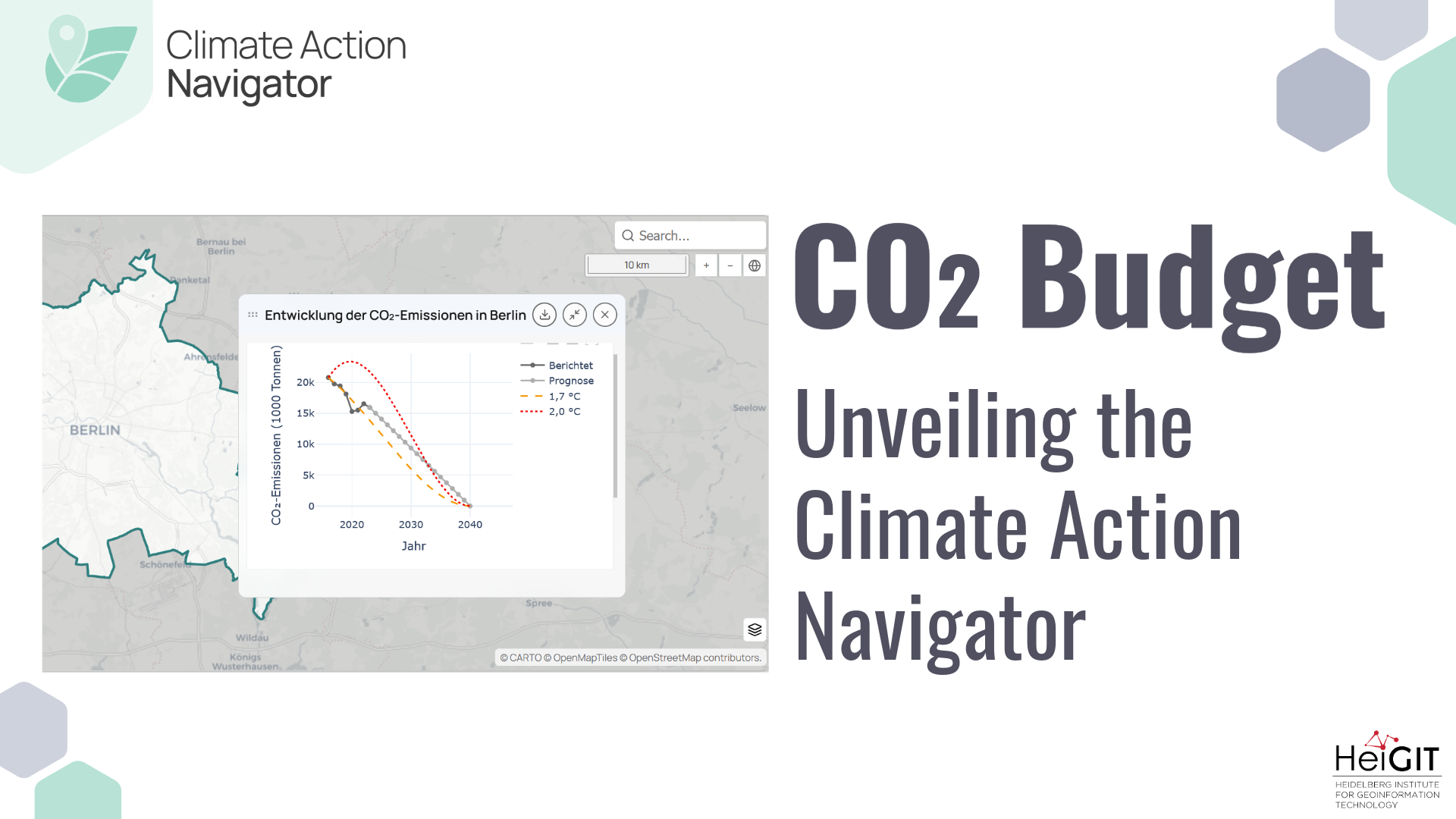
Unveiling the Climate Action Navigator Part 5 – CO₂ Budget
Thanks to the newest addition to the Climate Action Navigator, it is now possible to calculate the remaining CO₂ budget for several German cities (Berlin, Bonn, Hamburg, Heidelberg, and Karlsruhe) to stay within certain global warming limits (e.g. +1,5°C). The CO₂ Budget assessment tool also tracks if the city is on the right track to…
-
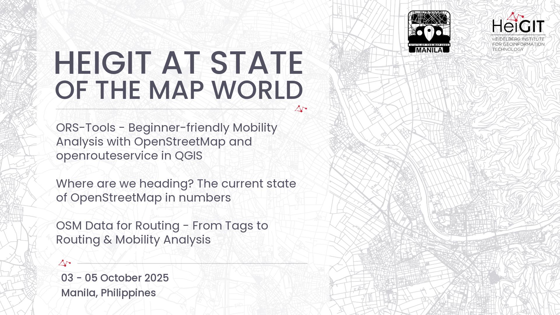
HeiGIT at State of the Map World
State of the Map World is the annual event for all mappers and OpenStreetMap users. The program consists of talks, workshops, discussion rounds and more. HeiGIT is taking part with three different contributions. ORS-Tools – Beginner-friendly Mobility Analysis with OpenStreetMap and openrouteservice in QGIS – Julian Psotta, Benjamin Herfort Friday, 11:30 (60 minutes (plus Q&A)); Room:…
-
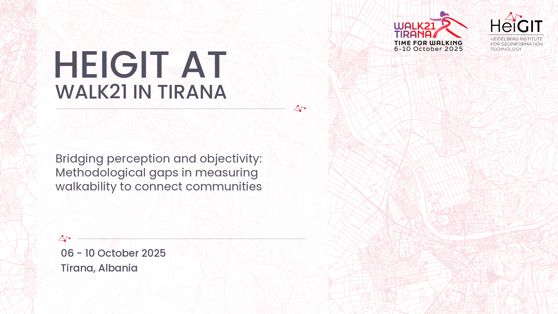
HeiGIT at Walk21
The 25th International Walk21 Conference on Walking and Livable Communities will take place from 6 – 10 October in Tirana, hosted by the Municipality of Tirana in partnership with GIZ Albania.
-
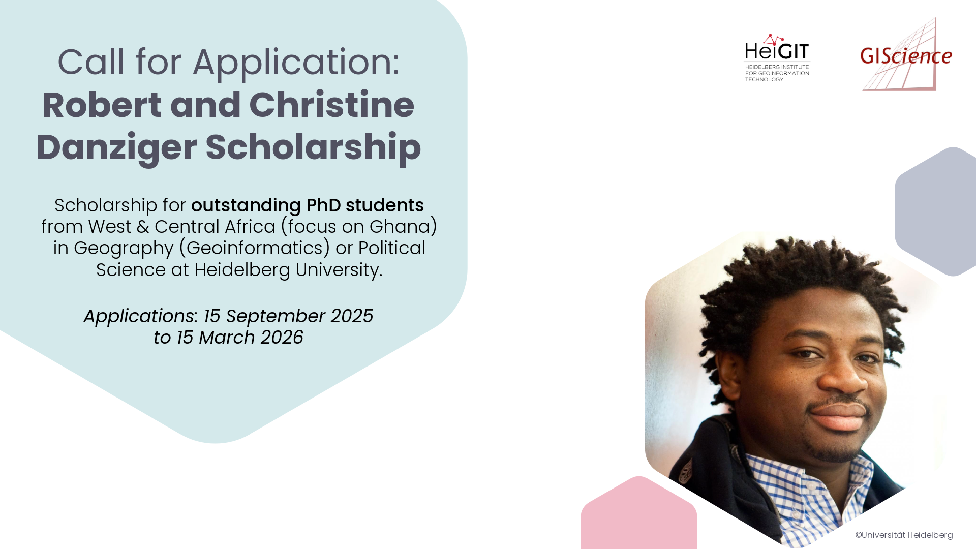
Call for Application: Robert and Christine Danziger Scholarship
The Robert and Christine Danziger Scholarship supports outstanding doctoral students from West and Central Africa (with particular emphasis on applicants from Ghana), who intend to pursue a doctoral degree in Geography (specializing in Geoinformatics) or Political Science at Heidelberg University. Applicants are expected to be in the process of applying for a doctoral position at…
-
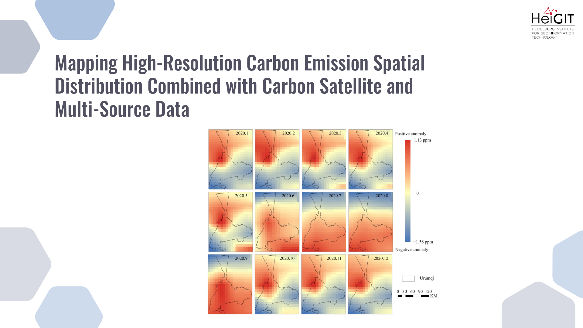
New paper “Mapping High-Resolution Carbon Emission Spatial Distribution Combined with Carbon Satellite and Multi-Source Data”
This study develops a framework integrating satellite observations with spatial proxy data to produce high-resolution urban carbon emission maps. The method is applied to Urumqi, China, demonstrating accurate and timely estimations compared with traditional inventories. Reducing carbon emissions is a global priority, but conventional inventory methods based on administrative statistics fail to capture fine-scale spatial…
-
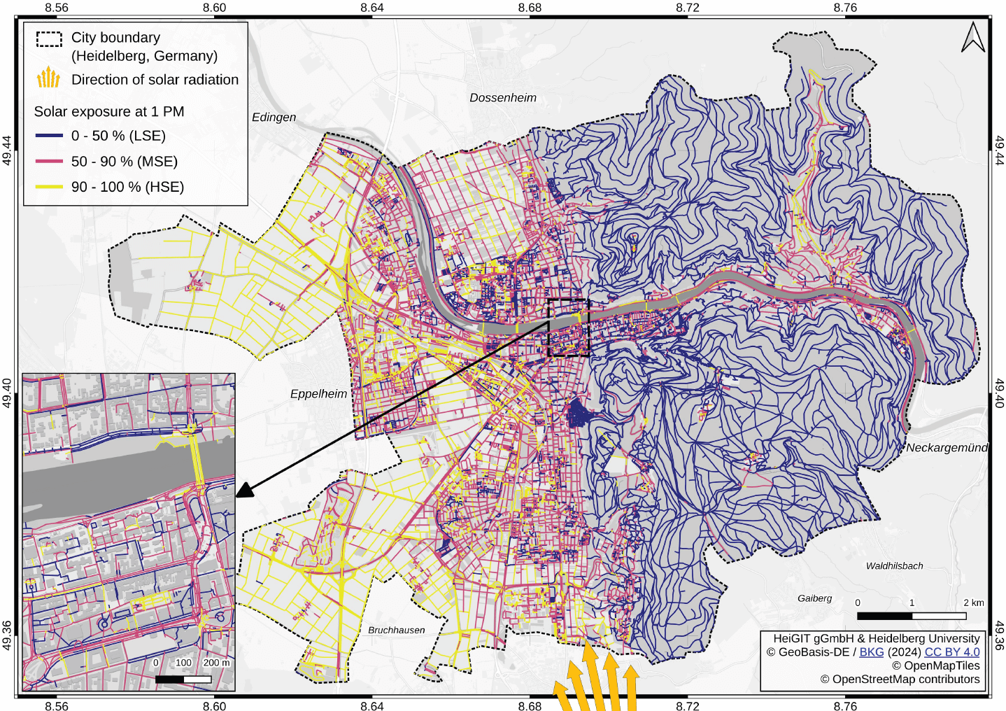
New paper “Mitigating heat stress by reducing solar exposure in pedestrian routing”
Using Heidelberg as a case study, researchers modeled time-dependent solar exposure for the entire pedestrian network by combining high-resolution DEM/DSM building and vegetation data with OpenStreetMap road data. Adapting to heat stress in cities is a major challenge under global warming, as both climate change and the urban heat island effect increase health risks worldwide.…