

The UndercoverEisAgenten team have developed a new online mapping application to monitor permafrost thaw. From now on, interested citizen scientists can directly contribute online to collect reliable and up-to-date data on the thawing of Arctic permafrost landscapes- and thus improve the basis for climate predictions.
The Arctic is warming about twice as fast as the rest of the Earth. This temperature change leads to the thawing of frozen ground known as permafrost. When the permafrost thaws, the greenhouse gases carbon dioxide and methane are released, further accelerating global warming. Underground thawing also causes the ground to sink, with devastating effects on buildings and roads.
The UndercoverEisAgenten project aims to improve the understanding and monitoring of these landscape changes to gain further insight into the extent and rate of permafrost thaw. To do so, students in Aklavik, an Arctic community in Canada, are taking high-resolution aerial images of the land surface using drones. The young citizen scientists are supported in developing their own research questions about permafrost. They participate in the selection of the study areas and help determine the focus of the ensuing analyses. Together with German students, the young citizen scientists then evaluate the aerial photographs and help track the effects of global warming.
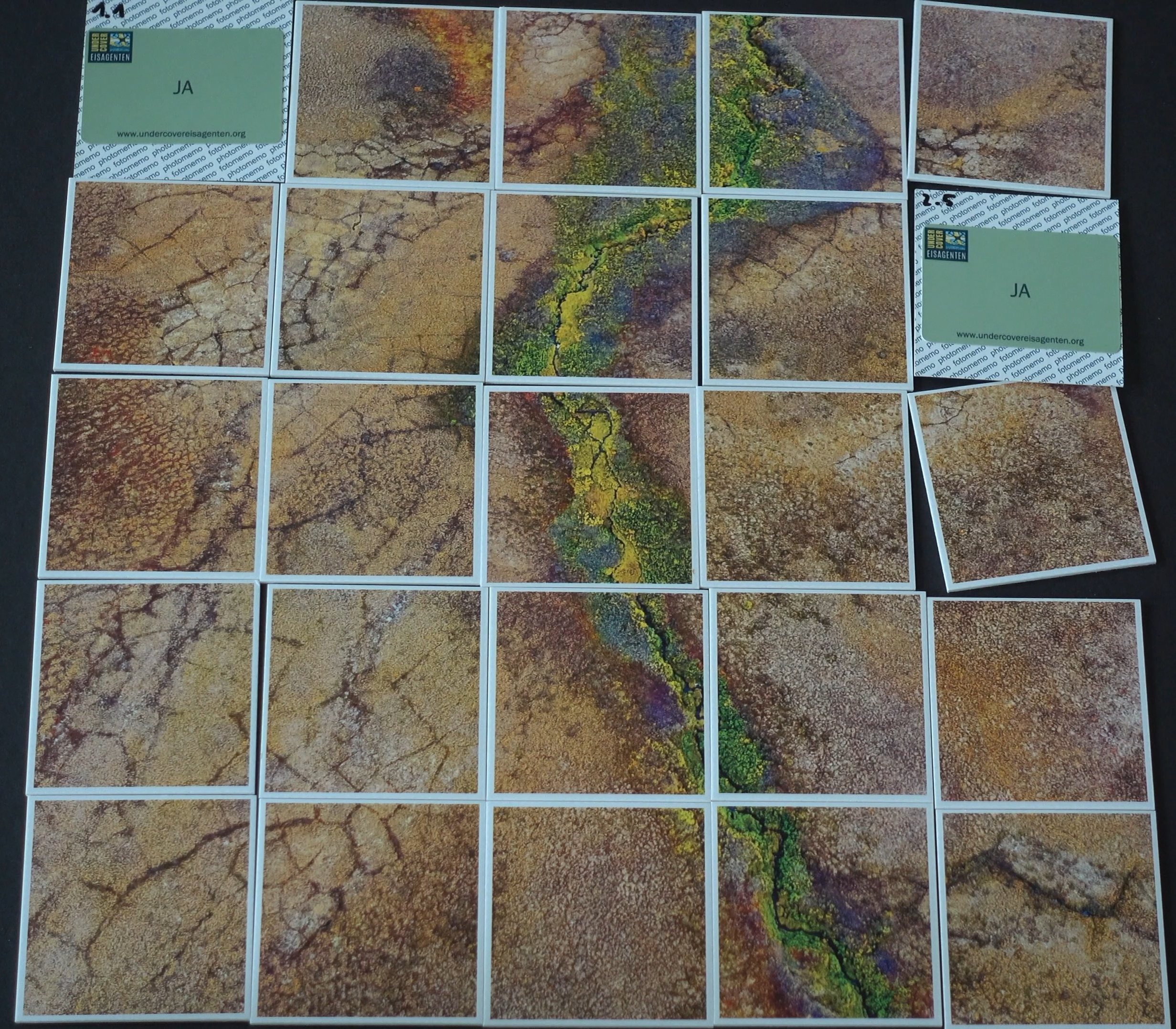
For the mapping of permafrost structures, we developed the UndercoverEisAgenten web app, which is now available online for everyone to use. Students and other interested citizen scientists can join in. With the help of a tutorial, citizen scientists receive a brief introduction to the topic and learn what special features to look out for when mapping. Then, they can start mapping directly. Each contribution will create a unique reference dataset for research which can be used to automatically detect and predict permafrost thaw in the future using machine learning methods.
The mapping application is under continuous development. We welcome suggestions and feedback via this form.
The UndercoverEisAgents project is a cooperation between the Alfred Wegener Institute (AWI), HeiGIT (Heidelberg Institute for Geoinformation Technology) and the German Aerospace Center (DLR).
The project is funded by the German Federal Ministry of Education and Research as part of the Citizen Research funding area. It is one of 15 projects that will advance the collaboration of citizens and scientists in terms of content and methodology and provide answers to societal challenges until the end of 2024. Further information at: Bundesministerium für Bildung und Forschung – BMBF.