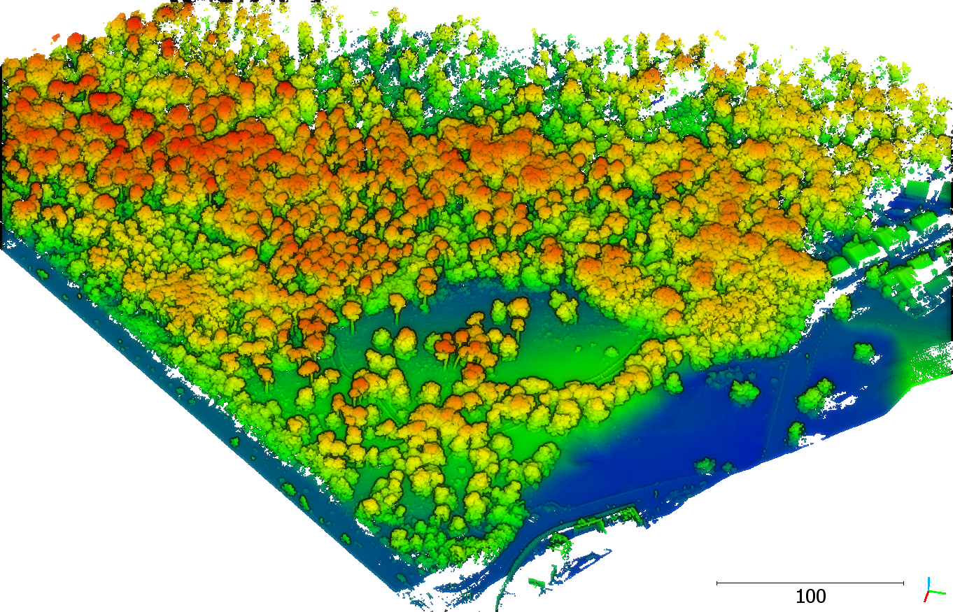
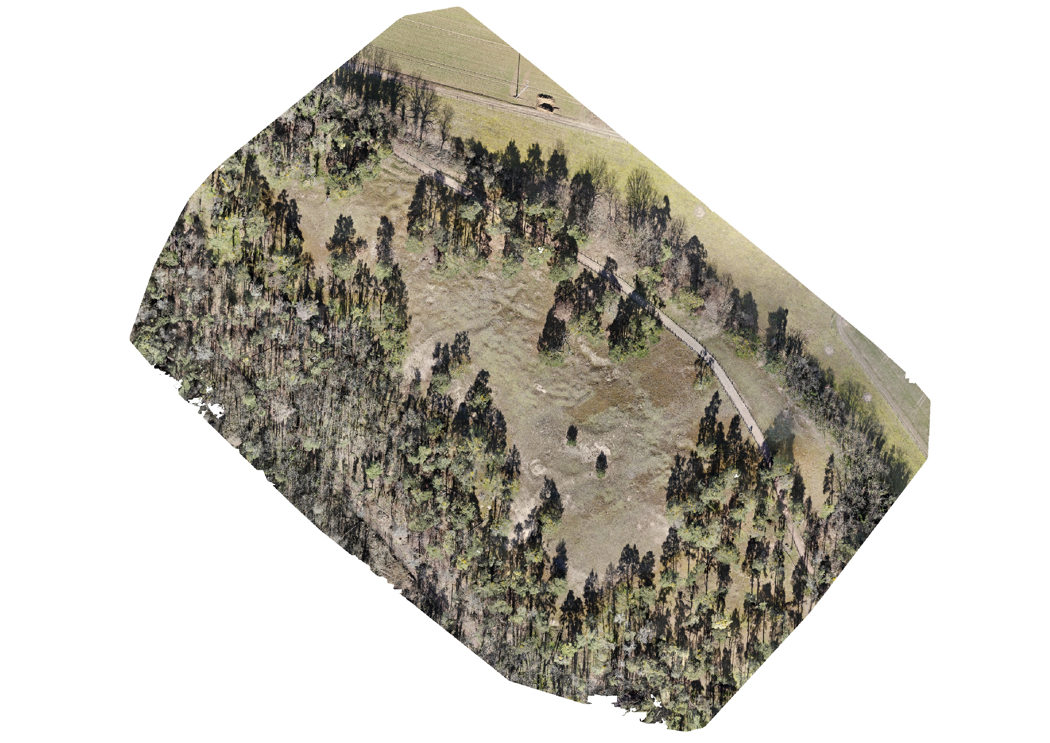
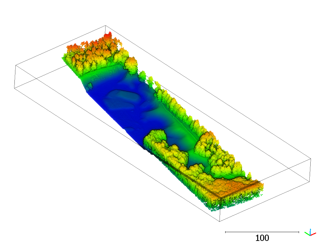
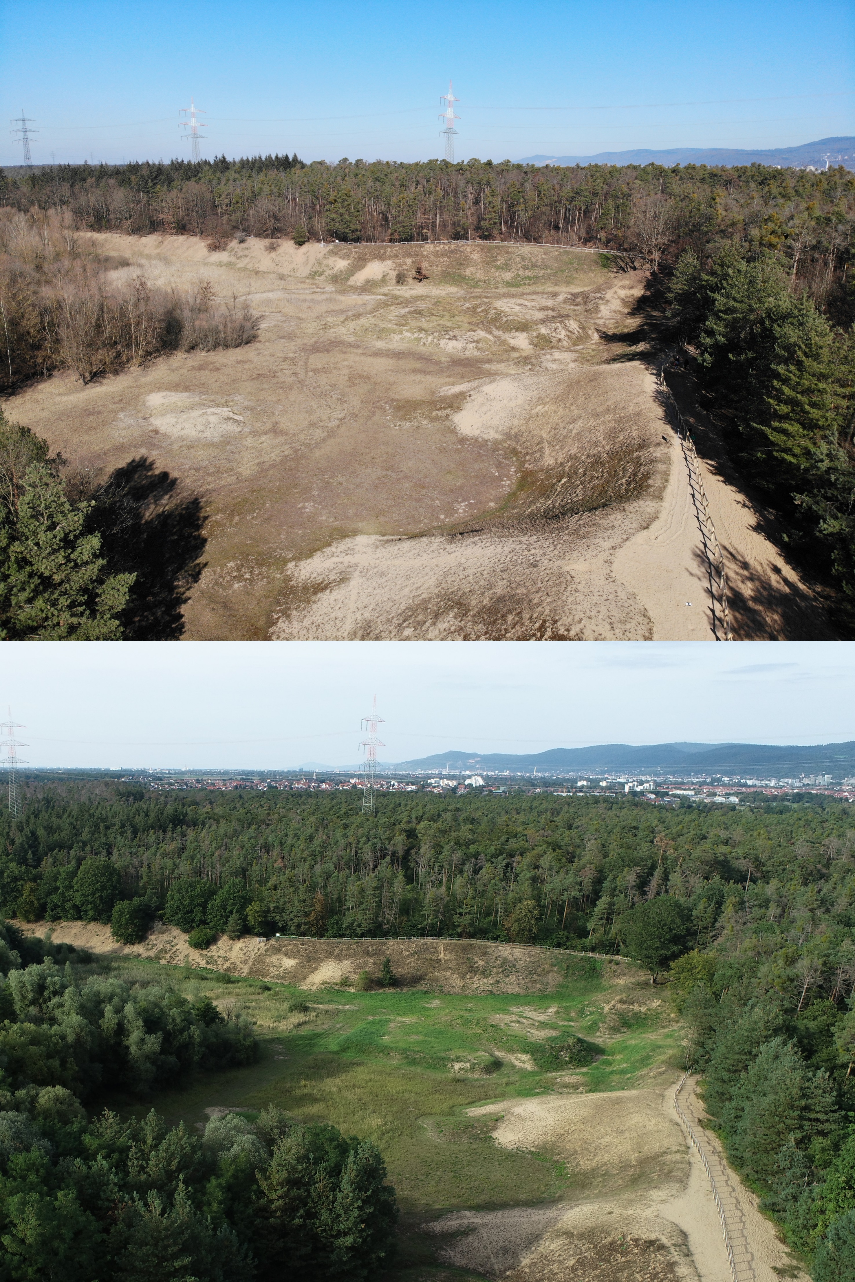
For the first time, the inland dunes in Sandhausen (Baden-Württemberg, Germany) have been captured by UAV-borne photogrammetry and laser scanning. The dunes are a precious habitat for many specialized plants and animals. They formed during the last ice age by sand drift from the Rhine valley. The large inland dunes, originally stretching from Karlsruhe to Mainz, have been wooded and only small areas have kept their initial dune character or have regained it. The sandy substrate and the aridity create grasslands with extreme conditions, which many rare and adapted plant and animal species thrive in (http://duene-sandhausen.de/). To preserve the valuable site conditions, the dune areas in Sandhausen are under protection. Habitats are maintained, e.g., by temporarily grazing sheep, goats, cows, or donkeys, which prevent ecological succession to forest.
The dunes have always been dynamic, both due to natural and anthropogenic influences. This is reflected in the land cover and geomorphology. By 3D data capturing of this unique habitat the 3DGeo research group aims at observing and analysing the current state of the dune areas and their development over the next years. Further acquisitions are planned in the future to uncover and document the dynamics of the areas. This can help understand the response of the vegetation to warming climate, the effects of grazing, or the influence of human activities.
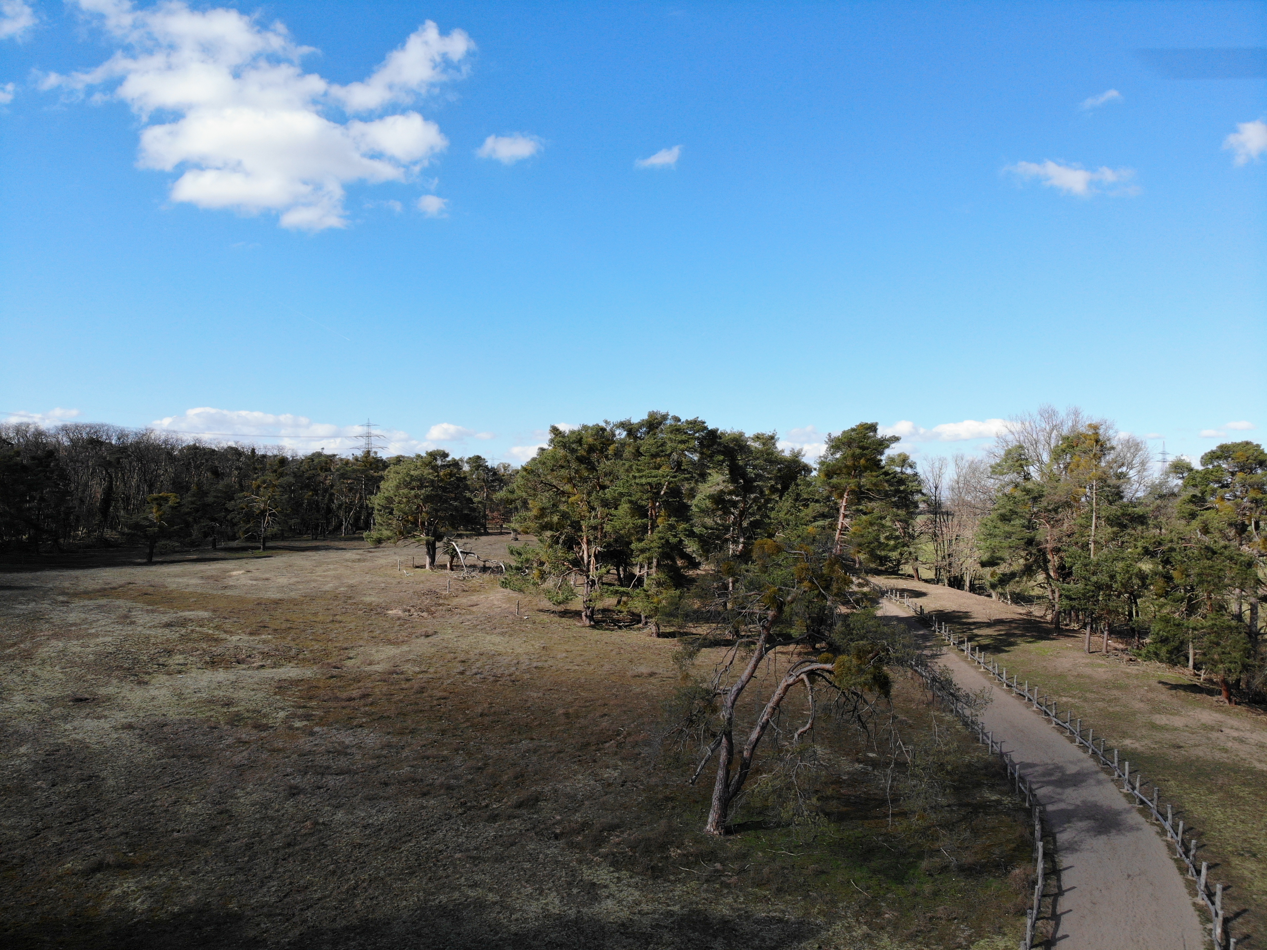
We acquired UAV-borne data of the inland dunes with an RGB camera, taking a series of pictures for photogrammetric reconstruction, and with a 3D laser scanner. Both methods, photogrammetry and laser scanning, can create 3D point clouds, from which we can derive further products, like digital terrain models and vegetation parameters. With the images, we can also derive orthophotos.
With a new multitemporal dataset, we aim to test and develop our methods for 3D change detection, e.g., Anders et al. 2021 and Winiwarter et al. 2021. The dataset can be used as input for HELIOS++, to simulate laser scanning over changing scenes (see also Weiser et al. 2021). This can help to understand which sensors, level of detail, and monitoring frequencies are needed to identify important change types.
Stay tuned: Once we completed all data collection and processing, we will make the dataset openly available for the general public.
