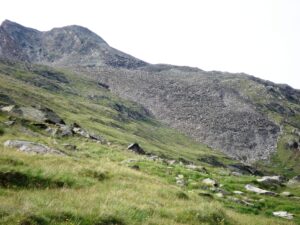
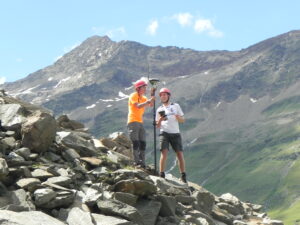
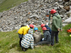
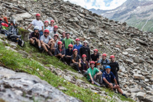
As part of the practical field training “3D Geodatenerfassung im Hochgebirge (Ötztal), 31 July – 06 August”, the rock glacier “Äußeres Hochebenenkar” (42 ha), located in the Ötztal Alps in an elevation of 2,630-2,800 m a.s.l., was explored by 16 students under the direction of Bernhard Höfle, Stefan Hecht and Martin Hämmerle.
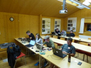
With the help of several sensor systems (LiDAR, GNSS), close range photogrammetry and the geophysical method of electrical resistivity tomography (ERT) a huge amount of data was captured to analyse the geomorphology, the sub-surface (e.g. permafrost) and the behaviour or change to the last year’s summer school project of the fondly called “Monster of Rock”. In three groups (“LiDAR”, “Photogrammetry” and “ERT”) specific sub-topics ranging from change detection over volume calculations all the way to the comparison of methods were chosen and already pre-processed in the on-site “sky-lab” at our base station, the Universitätszentrum Obergurgl. It provided us with a great accommodation to be ready for the daily hikes to the field and provided an excellent working environment.
Additionally, presentations of researches of the University of Innsbruck extended our knowledge of the surrounding we were working in. Field trips e.g. to the Köfels Bergsturz or the museum of local history gave further insights into recent fields of study and the local environment which has been highly influenced by anthropogenic factors for centuries.
All in all we had a very interesting and enjoyable time in Obergurgl which we can only thank our Heidelberg and Innsbruck lecturers for.

——————————————
Text: Tobias Brunk, Moritz Schott
——————————————


