

In order to optimize agricultural processes, near real-time spatial information about in-field variations, such as crop height development (i.e., changes over time), is indispensable. This development can be captured with a LiDAR system. However, its applicability in precision agriculture is often hindered due to high costs and unstandardized processing methods.
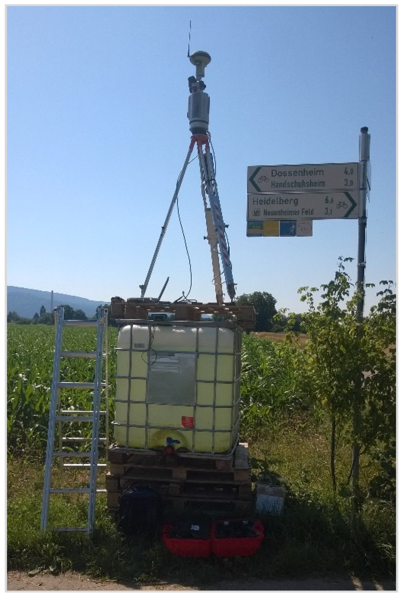
In our new study we investigate the potential of an autonomously operating low-cost static terrestrial laser scanner (TLS) for multitemporal height monitoring of maize crops. A low-cost system is simulated by artificially reducing the point density of data captured during eight different campaigns. The data were used to derive and assess crop height models (CHM).
Results show that heights calculated with CHM based on the unreduced point cloud are accurate when compared to manually measured heights (mean deviation = 0.02 m, standard deviation = 0.15 m, root mean square error (RMSE) = 0.16 m). When reducing the point cloud to 2% of its original size to simulate a low-cost system, this difference increases (mean deviation = 0.12 m, standard deviation = 0.19 m, RMSE = 0.22 m).
We found that applying the simulated low-cost TLS system in precision agriculture is possible with acceptable accuracy up to an angular scan resolution of 8 mrad (i.e., point spacing of 80 mm at 10 m distance). General guidelines for the measurement set-up and an automatically executable method for CHM generation and assessment are provided and deserve consideration in further studies.
Further reading of the full text: DOI: 10.3390/rs8030205
