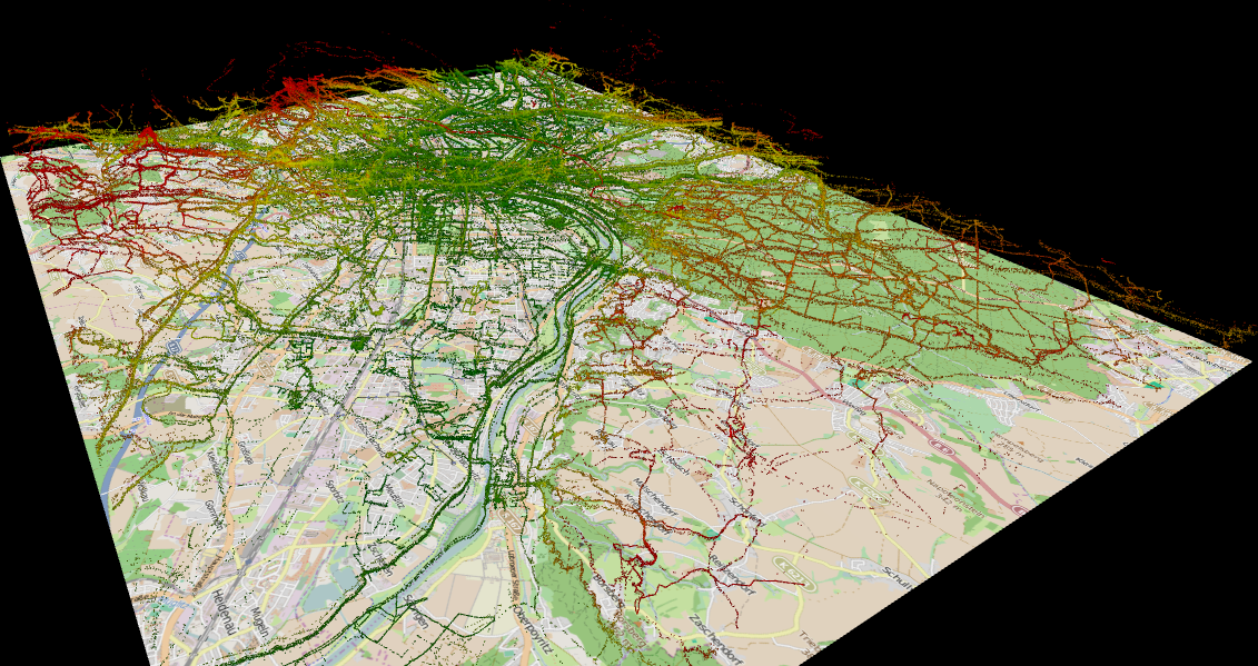
The Network Geoinformation GeoNet.MRN analyses and discusses the needs and challenges of providing an infrastructure for electromobility (e.g. charging stations) in the Metropolitan Region Rhine-Neckar. (Article in German). GeoNet.MRN also produced a nice map showing the current distribution of charging stations in this region. Thank you Hartmut, nice work!
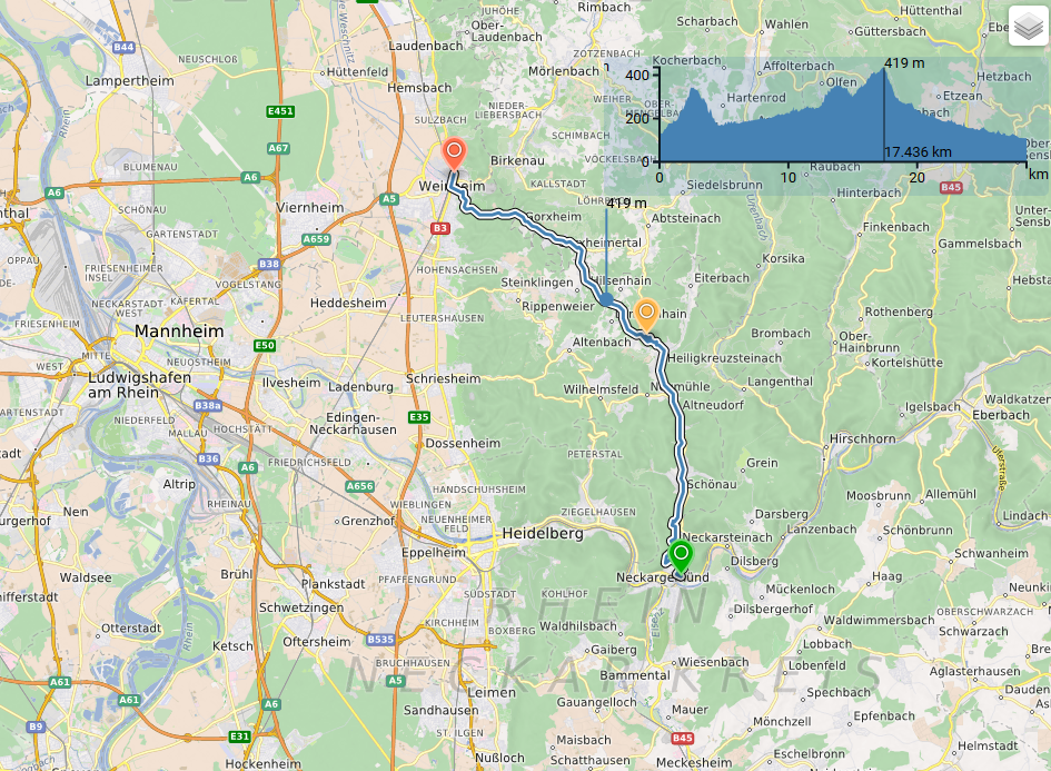
Also the need for detailled geoinformation for advanced routing services, including precise information on inclines and height profiles etc. is being stressed. In particular this is still a challenge for Open Data. A typical use case is the need to calculate the accessibility of locations and driving times.
Related work: Routing plus Accessibility Service, OSM GPS Incline Tool etc.


