

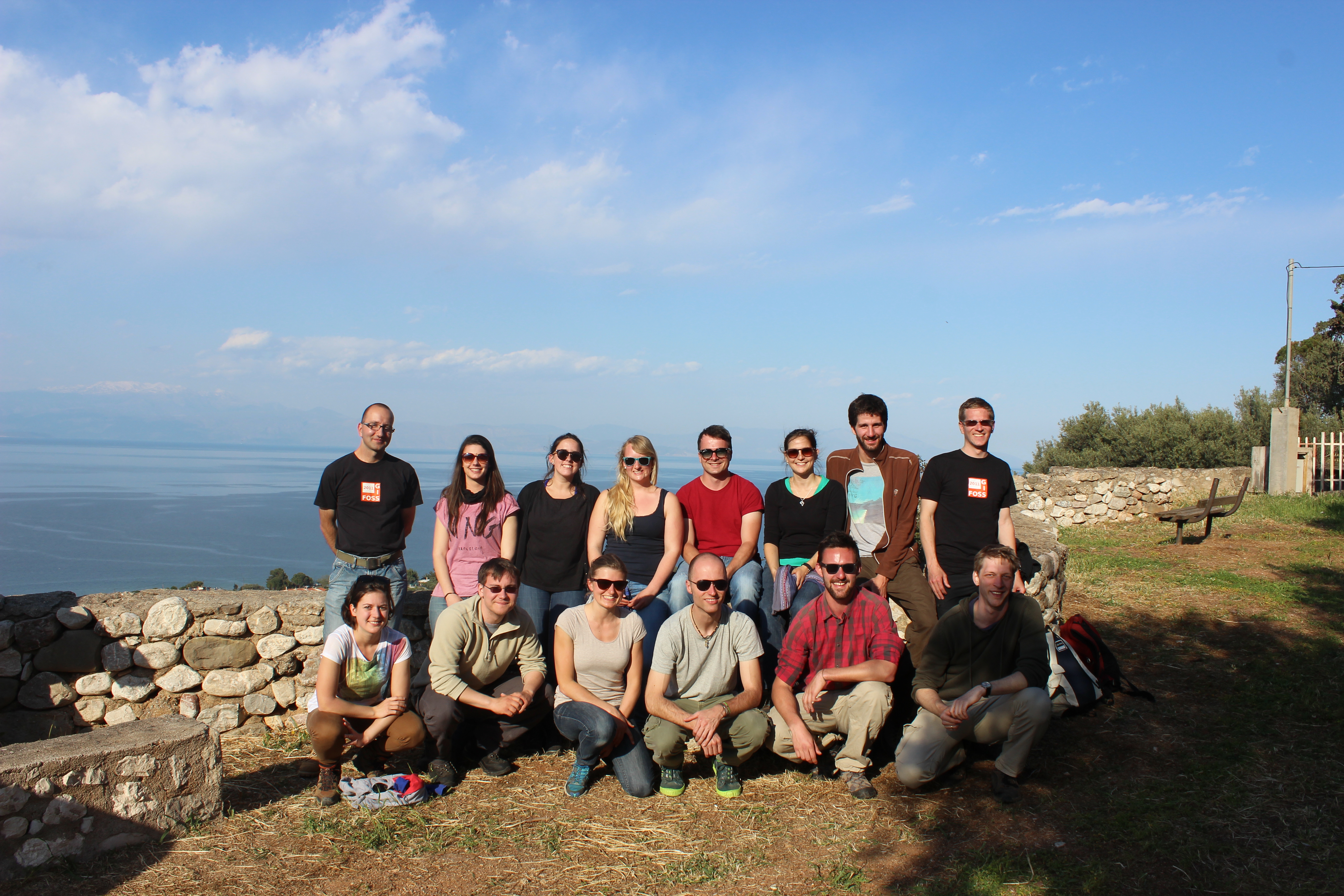
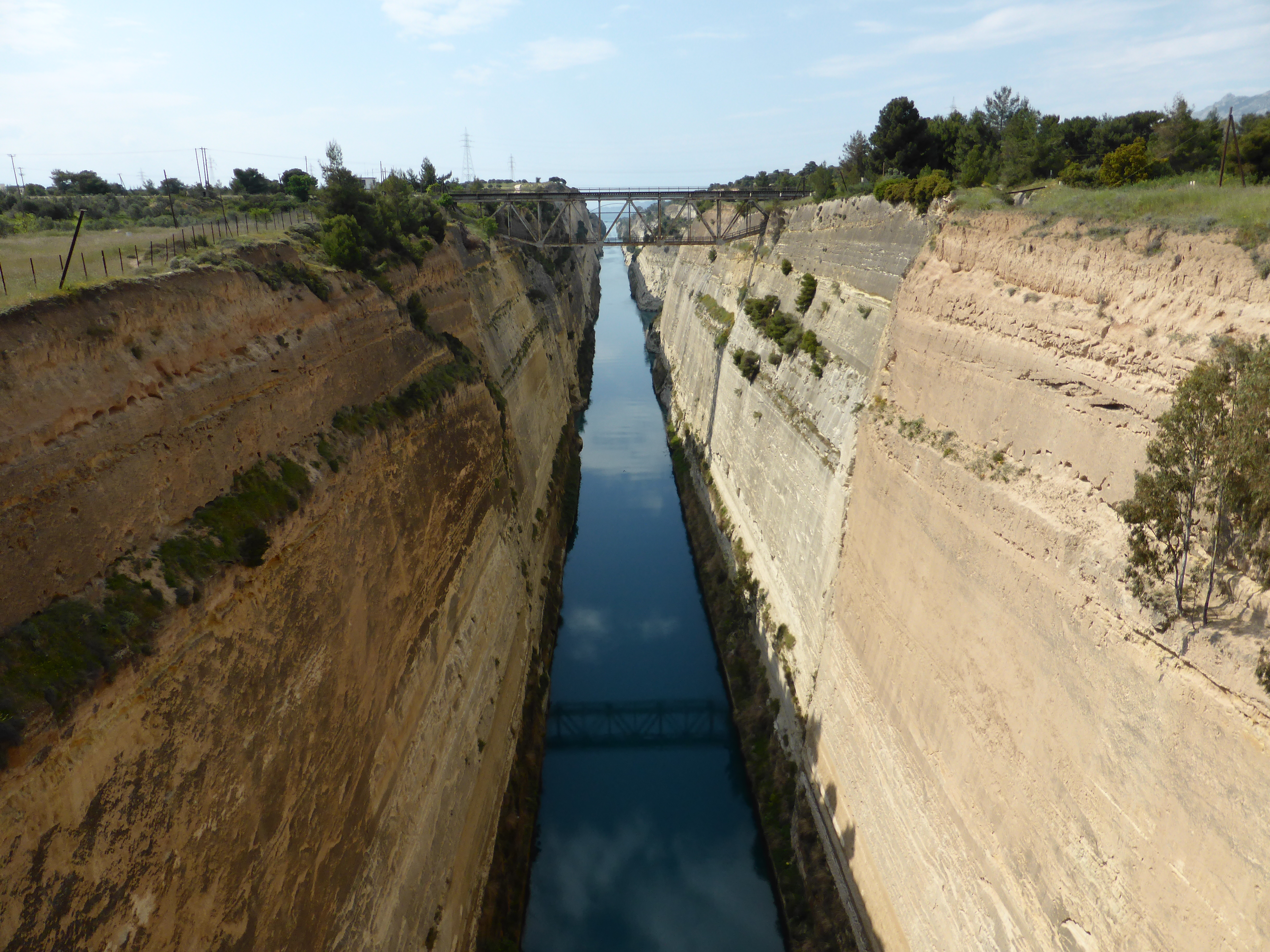
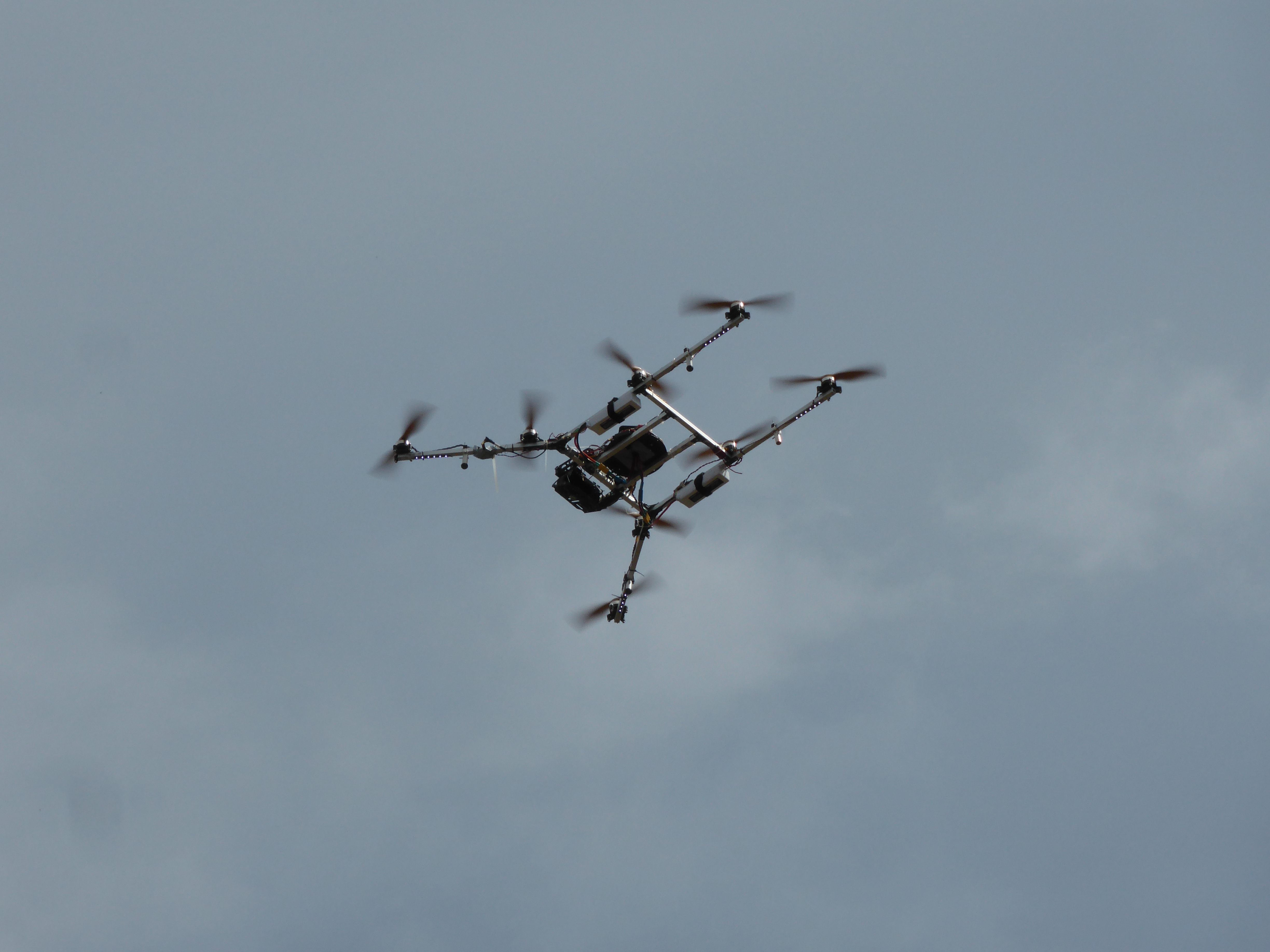
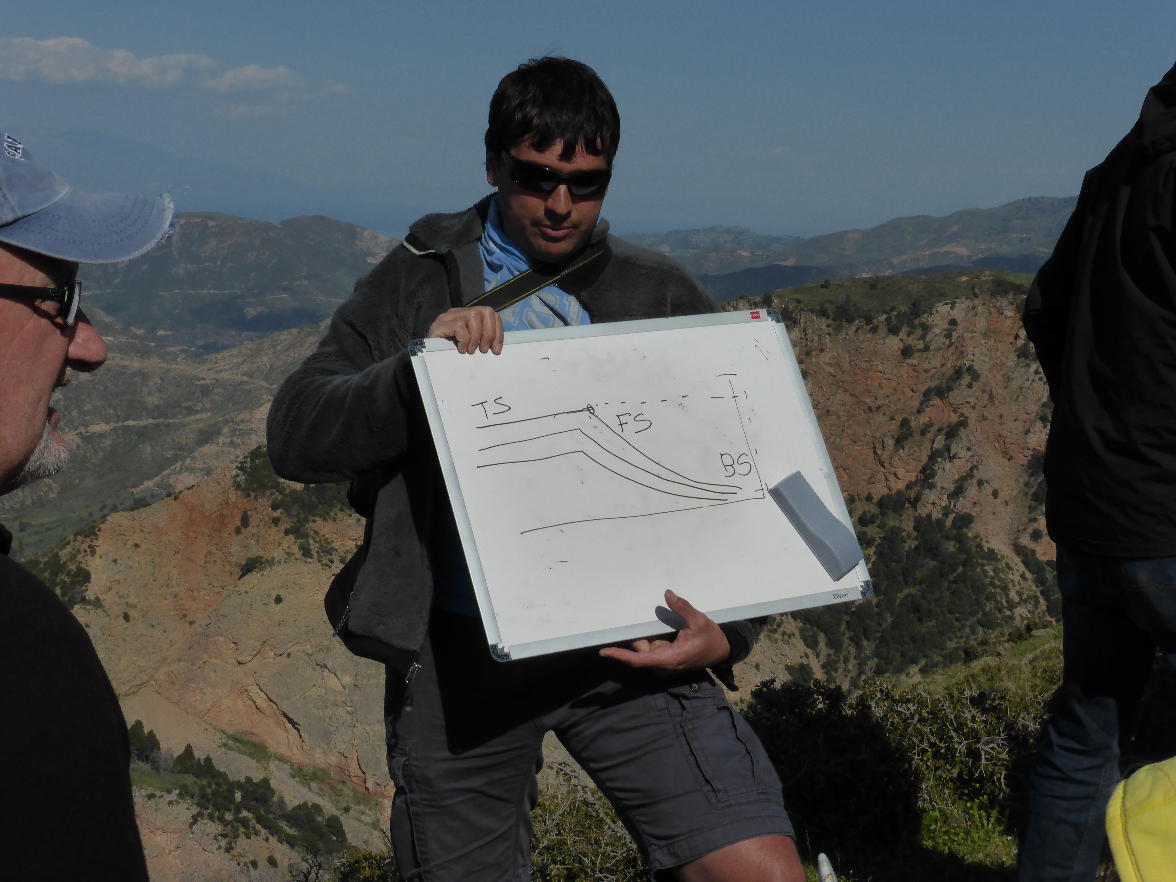
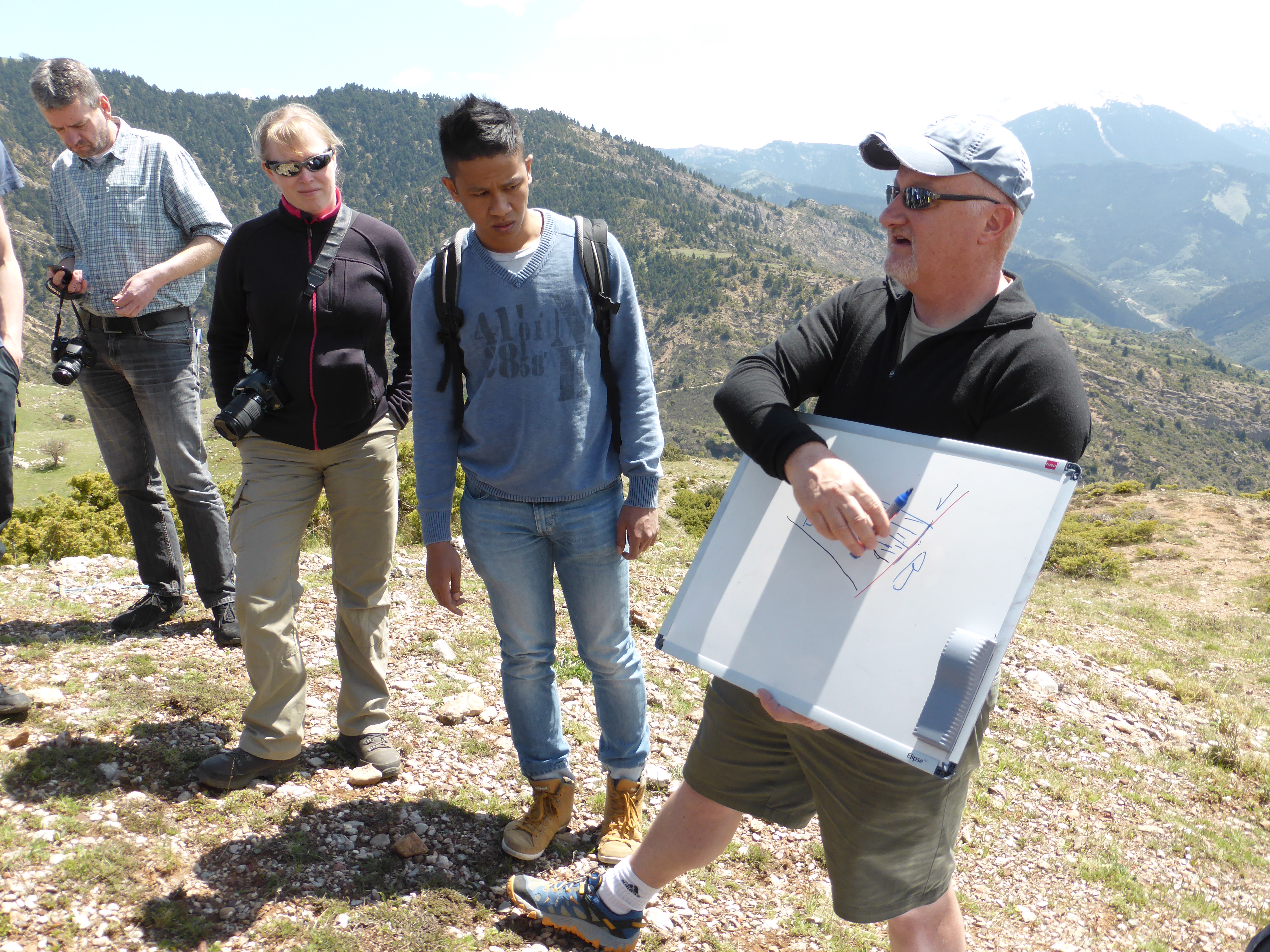
Our students learned how multiple 3D geodata sensor systems (LiDAR, UAVs, GNSS) can be used to capture and analyze the geomorphology and geology of one of the most exciting geological areas, the Peloponnese in Greece. Together with the geology students from the University of Stavanger more than 30 young researchers explored the area around the Kerpini fault and could exchange ideas, knowledge and viewpoints on our joint study object.
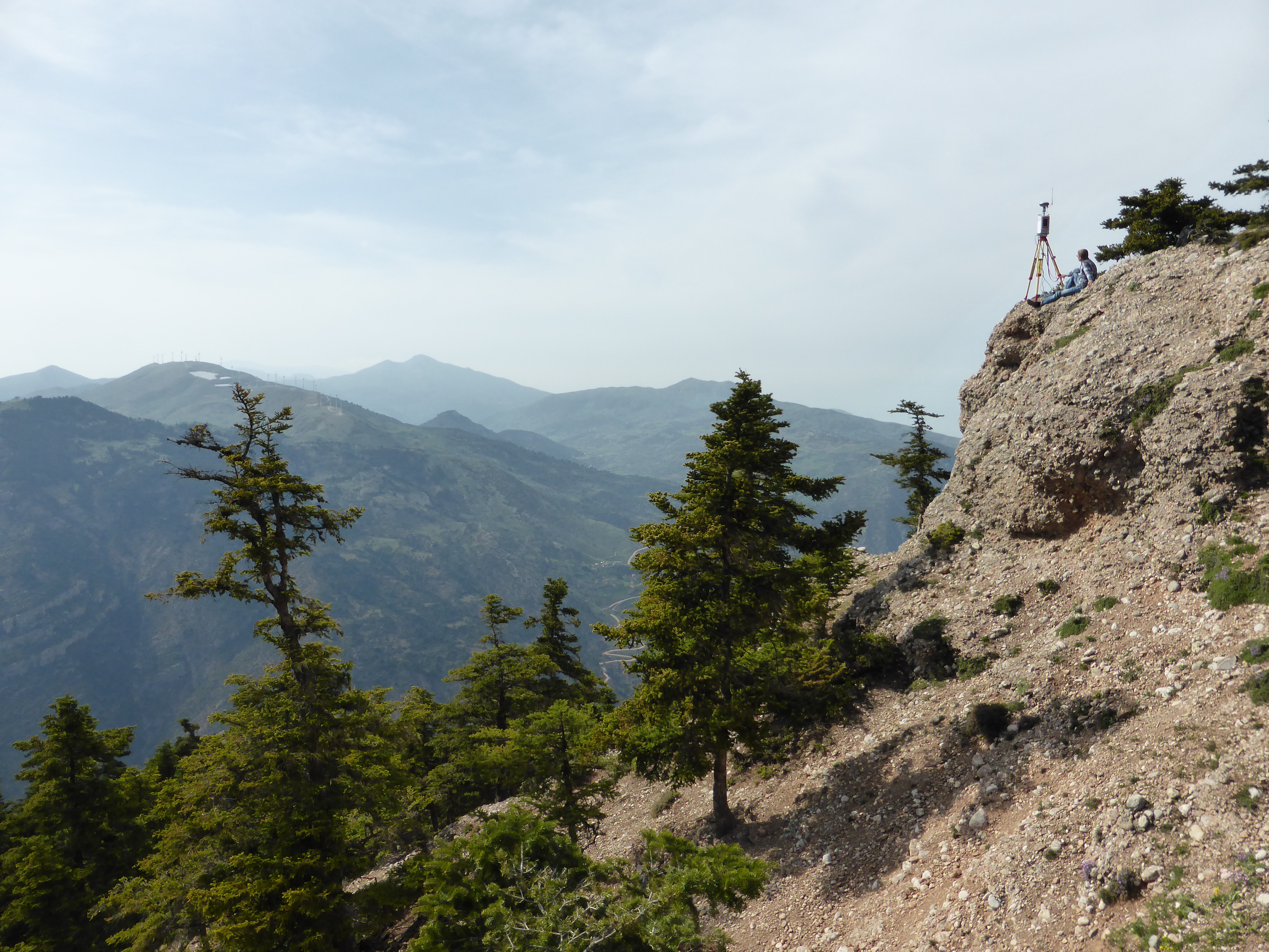
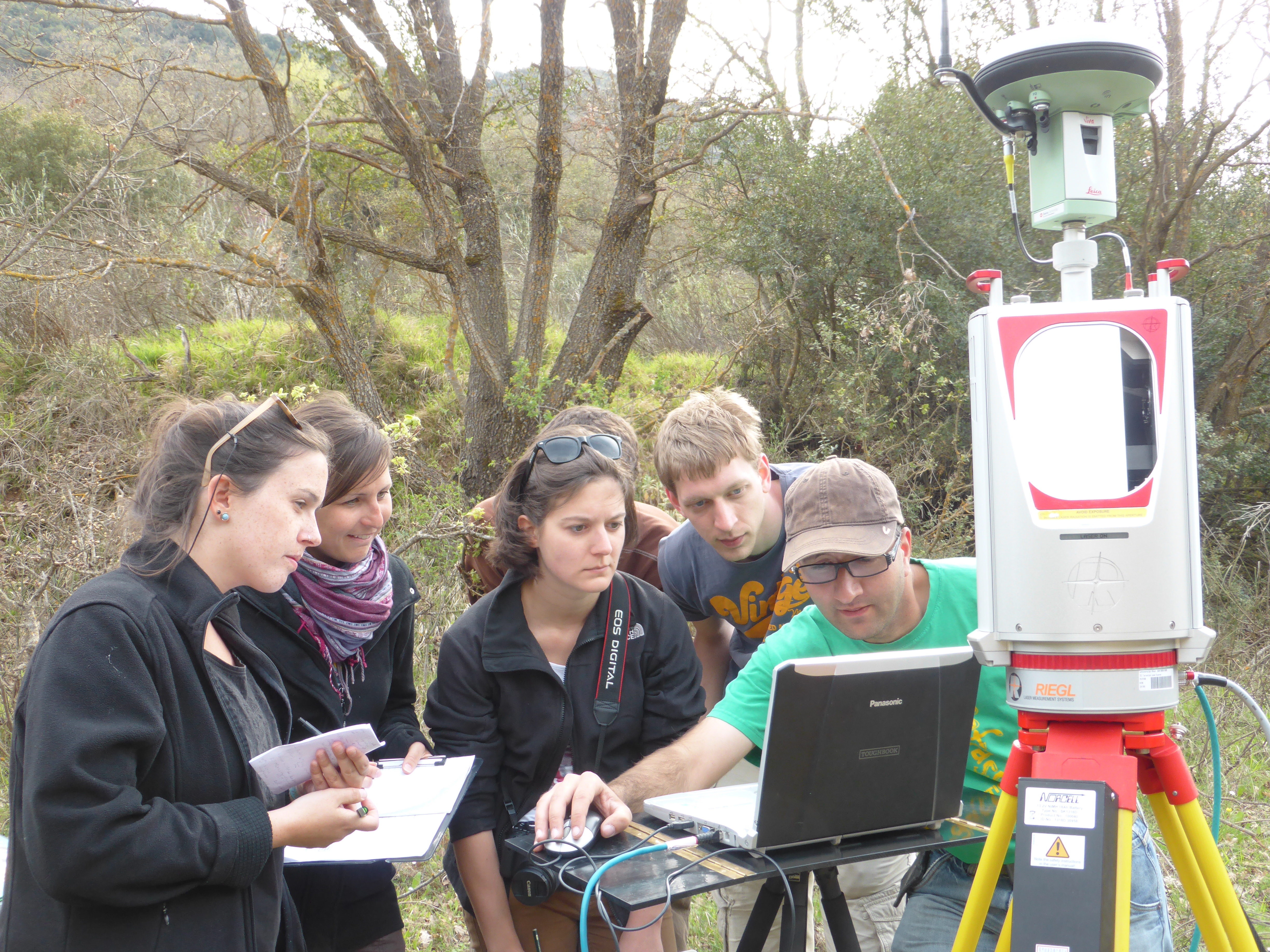
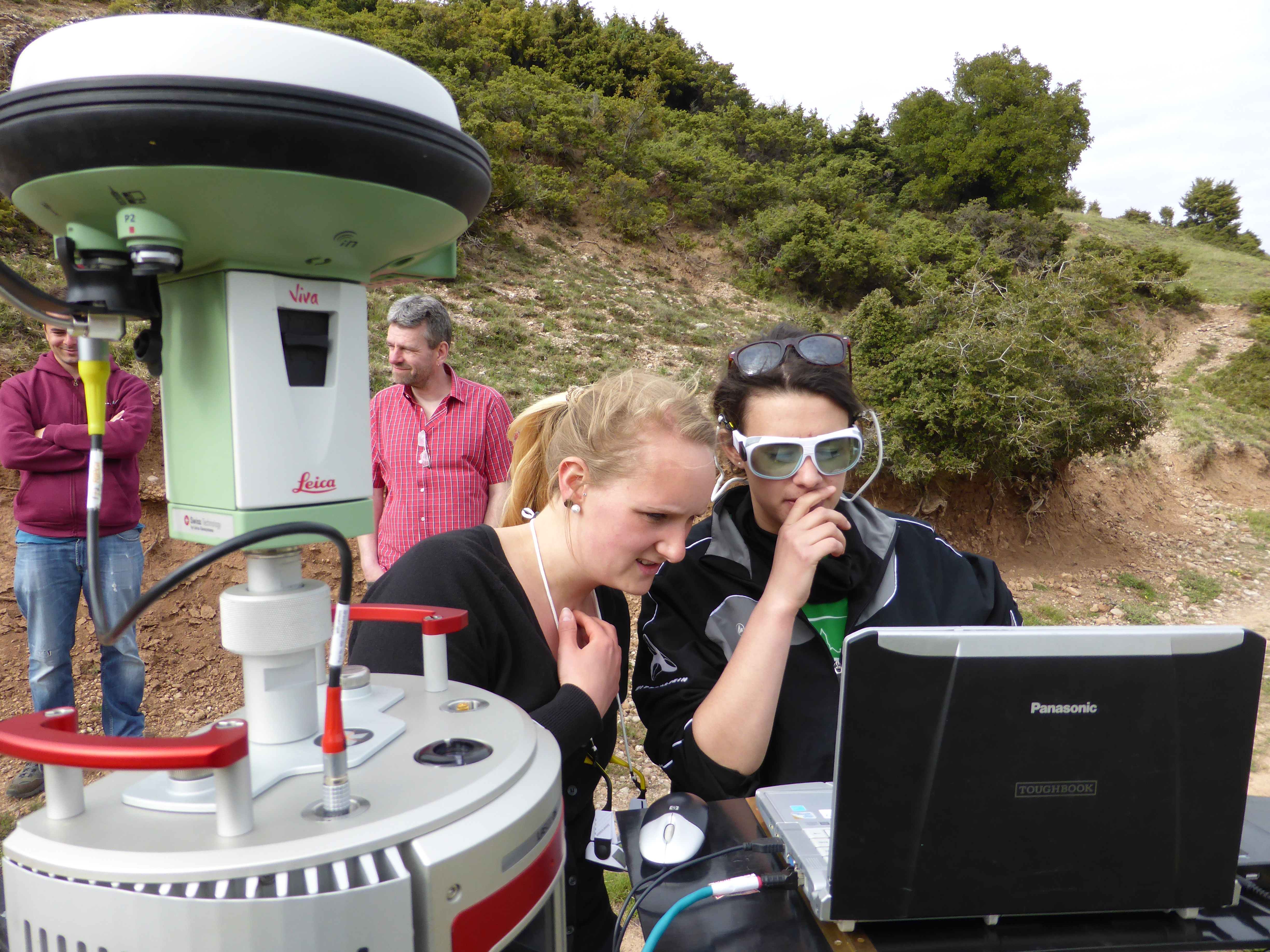
The Heidelberg student groups could also work on their specific sub-topics to develop new algorithms for the mapping and characterization of vegetation, outcrops, erosion gullies and terrain features making use of 3D point clouds. Furthermore, one of the outcomes will be a very high resolution 3D model of the mountain range around Kerpini and Rogi – close to Kalavrita. Based on more than one billion single 3D measurements it will be possible to derive a 3D outcrop model for a very large area with high accuracy for the first time.

Acknowledgments: We would like to cordially thank Chris Townsend and Alejandro Escalona for a perfect organization and very valuable scientific input. Further, we would like to thank the University of Vienna for supporting us with the lastest LiDAR technology. On behalf of the Heidelberg Team: Martin, Christian, Benjamin and Bernhard.