

On 7th of July, the summer semester’s laser scanning course was on a field trip for capturing a gravel bar of the river Neckar next to Ilvesheim.
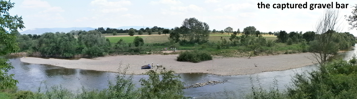
Apart from the main goal of experiencing ‘real life scanning’, the produced data now is used in various analyses: Based on two other datasets from 2011 and 2012***, the fluvial dynamics of the gravel bar will be detected, quantified and interpreted. A filter algorithm for removing vegetation will be tested and improved based on the data set.
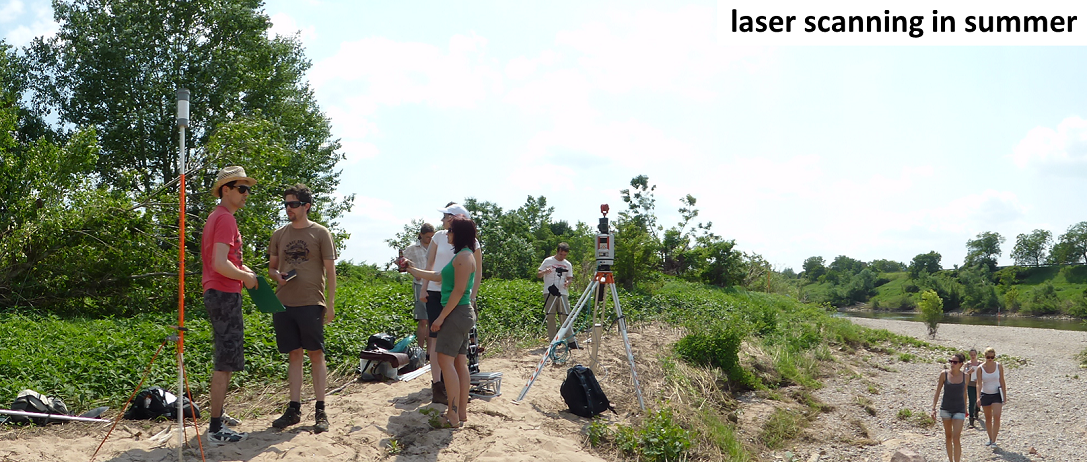
Test plots of different sediment sizes were captured with a RGB-D camera and covered with regular photographs for structure from motion in order to test the ability of the methods to complement each other. A fourth group produces a video documentary of the course, covering the preparations, the field trip, the analysis tasks and the results.
Sunny field trip of laser scanning course
by