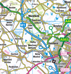
With all contracts signed, the Strategi urban-area carricature and aggregation project SUCAP is about to start.
One of the world’s leaders in automated generalization, Ordnance Survey and the Heidelberg University GIScience Research Group have teamed up to bring some polgyons into shape.
The projects goal is to investigate new and efficient ways of automatically generalizing urban-areas for medium scale geodata vector sets and cartographic products such as Ordnance Survey’s Strategi. Bachelor’s and Master’s thesis can especially be integrated into follow-up research. Interested parties please contact Andreas Reimer.


