
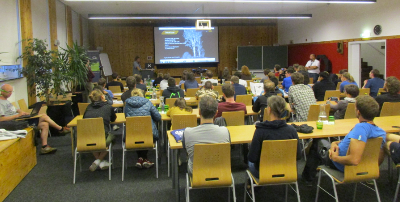
From 16 to 22 July, the second ISPRS Summer School of Alpine Research took place in Obergurgl, Austria. Around 40 participants from four continents enjoyed a mix of lectures, field work and hands-on data processing related to various research topics in high mountain research. Hosted at the beautifully located and perfectly equipped Alpine Research Centre Obergurgl of the University of Innsbruck, the participants gained new skills or extended their experience about state-of-the-art geodata processing methods.
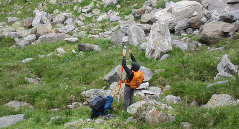
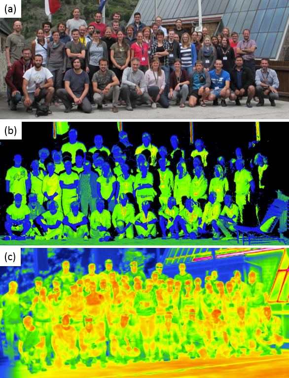
Examined were objects and processes such as an active landslide, an outcrop, alpine meadows and forests, and a rock glacier. The analysis of the study areas was based on thermal imagery or 3D point clouds acquired with close-range photogrammetry (a.k.a. structure from motion) and laser scanning, all from a variety of platforms, including multicopters and fixed-wing unmanned aerial vehicles, or terrestrial laser scanners.
The talks comprised keynotes by Hans-Gerd Maas, Norbert Pfeifer, and Cees van Westen and methodological lectures by Sander Oude Elberink, Marco Scaioni, Roderik Lindenbergh, Francesco Pirotti, and Daniel Wujanz. Additional lecturers for field work and hands-on data processing were Martin Rutzinger and Martin Hämmerle.
Special thanks go to the main organizer, Martin Rutzinger (Austrian Academy of Sciences)!
Keep yourselves updated regarding the ISPRS calendar – a follow-up of the summer school is planned!

(Click here to read the blog entry about the first ISPRS Summer School of Alpine Research.)